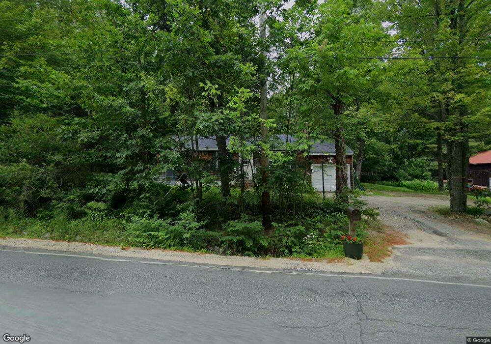
583 State Route 121 Otisfield, ME 04270
Estimated Value: $209,594 - $383,000
--
Bed
--
Bath
--
Sq Ft
1.1
Acres
About This Home
This home is located at 583 State Route 121, Otisfield, ME 04270 and is currently estimated at $323,399. 583 State Route 121 is a home located in Oxford County with nearby schools including Otisfield Community School, Oxford Hills Middle School, and Oxford Hills Comprehensive High School.
Ownership History
Date
Name
Owned For
Owner Type
Purchase Details
Closed on
Apr 9, 2021
Sold by
Dyer Garry S and Dyer Deborah A
Bought by
Skolfield Dorothy S and Skolfield Seth
Current Estimated Value
Home Financials for this Owner
Home Financials are based on the most recent Mortgage that was taken out on this home.
Original Mortgage
$88,000
Outstanding Balance
$79,325
Interest Rate
2.9%
Mortgage Type
Purchase Money Mortgage
Estimated Equity
$244,074
Purchase Details
Closed on
Jun 26, 2020
Sold by
Dyer Garry S and Dyer Deborah A
Bought by
Skolfield Dorothy S
Purchase Details
Closed on
Mar 20, 2015
Sold by
Dyer Garry S and Dyer Deborah A
Bought by
Dyer Elizabeth A
Purchase Details
Closed on
Oct 22, 2013
Sold by
Cox Wanda L
Bought by
Dyer Garry and Dyer Deborah
Create a Home Valuation Report for This Property
The Home Valuation Report is an in-depth analysis detailing your home's value as well as a comparison with similar homes in the area
Home Values in the Area
Average Home Value in this Area
Purchase History
| Date | Buyer | Sale Price | Title Company |
|---|---|---|---|
| Skolfield Dorothy S | -- | None Available | |
| Skolfield Dorothy S | -- | None Available | |
| Dyer Elizabeth A | -- | -- | |
| Dyer Garry | -- | -- |
Source: Public Records
Mortgage History
| Date | Status | Borrower | Loan Amount |
|---|---|---|---|
| Open | Skolfield Dorothy S | $88,000 |
Source: Public Records
Tax History Compared to Growth
Tax History
| Year | Tax Paid | Tax Assessment Tax Assessment Total Assessment is a certain percentage of the fair market value that is determined by local assessors to be the total taxable value of land and additions on the property. | Land | Improvement |
|---|---|---|---|---|
| 2024 | $2,347 | $132,233 | $33,880 | $98,353 |
| 2023 | $2,142 | $132,233 | $33,880 | $98,353 |
| 2022 | $1,937 | $132,233 | $33,880 | $98,353 |
| 2021 | $1,904 | $132,233 | $33,880 | $98,353 |
| 2020 | $1,970 | $132,233 | $33,880 | $98,353 |
| 2019 | $1,970 | $132,233 | $33,880 | $98,353 |
| 2018 | $1,924 | $132,233 | $33,880 | $98,353 |
| 2017 | $1,884 | $132,233 | $33,880 | $98,353 |
| 2016 | $1,772 | $132,233 | $33,880 | $98,353 |
| 2015 | $1,706 | $132,233 | $33,880 | $98,353 |
| 2014 | $1,587 | $132,233 | $33,880 | $98,353 |
Source: Public Records
Map
Nearby Homes
- 613 State Route 121
- 24-A Scribner Hill Rd
- 16-B Cobb Hill Rd
- 90 Jillson Camp Rd
- 277 Rayville Rd
- 515 Bean Rd
- 0 Ivory Hill Rd
- 122 & 123 Bolsters Mills Rd
- 122 Bolsters Mills Rd
- 35 Pond View Dr
- 123 Bolsters Mills Rd
- 79 Oak Hill Rd
- 37 Ridgewood Terrace
- 17 Partridge Ln
- 173 Tamworth Rd
- 706 Scribner Hill Rd
- 48 Briggs Ln
- 288 Ahonen Rd
- 158 Pine Point Rd
- 32 Callahan Rd
- 8 Edythe Ln
- MR03Lot39G Rt 121 Rd
- 564 State Route 121
- 13 Edythe Ln
- 598 State Route 121
- 595 State Route 121
- 605 State Route 121
- 556 State Route 121
- 572 State Route 121
- 21 Edythe Ln
- 613 Maine 121
- 18 Edythe Ln
- 25 Edythe Ln
- 616 State Route 121
- 624 State Route 121
- 552 State Route 121
- 629 State Route 121
- 00 State Route 121
- 660 State Route 121
- 97 Bell Hill Rd