583 W Briant St Andrews, IN 46702
Estimated Value: $107,000 - $137,051
3
Beds
2
Baths
1,144
Sq Ft
$111/Sq Ft
Est. Value
About This Home
This home is located at 583 W Briant St, Andrews, IN 46702 and is currently estimated at $126,513, approximately $110 per square foot. 583 W Briant St is a home located in Huntington County with nearby schools including Andrews Elementary School, Riverview Middle School, and Huntington North High School.
Ownership History
Date
Name
Owned For
Owner Type
Purchase Details
Closed on
Feb 25, 2009
Sold by
Livingston Kelly
Bought by
Jeffers William T
Current Estimated Value
Purchase Details
Closed on
Jul 10, 2008
Sold by
Farthing Kent R
Bought by
Wachovia Bank N A As Trustee
Create a Home Valuation Report for This Property
The Home Valuation Report is an in-depth analysis detailing your home's value as well as a comparison with similar homes in the area
Home Values in the Area
Average Home Value in this Area
Purchase History
| Date | Buyer | Sale Price | Title Company |
|---|---|---|---|
| Jeffers William T | $20,000 | Security Title Services Llc | |
| Jeffers William T | -- | None Available | |
| Wachovia Bank N A As Trustee | $95,619 | Feiwell & Hannoy Pc | |
| Wachovia Bank Na | $95,618 | None Available |
Source: Public Records
Tax History Compared to Growth
Tax History
| Year | Tax Paid | Tax Assessment Tax Assessment Total Assessment is a certain percentage of the fair market value that is determined by local assessors to be the total taxable value of land and additions on the property. | Land | Improvement |
|---|---|---|---|---|
| 2024 | $661 | $91,600 | $9,000 | $82,600 |
| 2023 | $132 | $61,300 | $9,000 | $52,300 |
| 2022 | $197 | $63,600 | $9,000 | $54,600 |
| 2021 | $159 | $59,100 | $9,000 | $50,100 |
| 2020 | $93 | $53,800 | $9,000 | $44,800 |
| 2019 | $94 | $53,900 | $9,000 | $44,900 |
| 2018 | $71 | $52,100 | $7,200 | $44,900 |
| 2017 | $66 | $52,100 | $7,200 | $44,900 |
| 2016 | $67 | $53,200 | $7,200 | $46,000 |
| 2014 | $58 | $51,900 | $7,200 | $44,700 |
| 2013 | $58 | $53,900 | $7,200 | $46,700 |
Source: Public Records
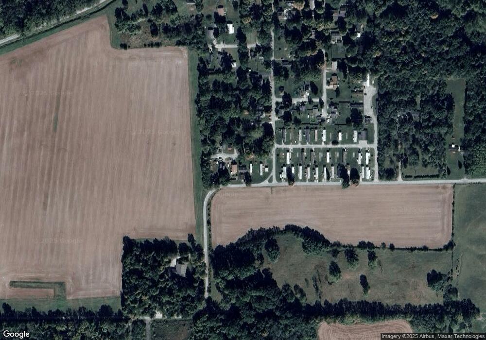
Map
Nearby Homes
- 330 W Mckeever St
- 187 S Snowden St
- 63 E Mckeever St
- 874 N Jackson St
- 2848 N 800 E
- 1932 N 600 W
- 5562 W 100 N
- TBD W Maple Grove Rd
- 1920 Hunters Ridge Dr
- 92 S 425 W
- 58 Quayle Run
- 2217 Miami Trail
- 2207 Miami Trail
- 2200 Miami Trail
- 2210 Miami Trail
- 5725 W 600 N
- 1239 Lucas Ct
- 1106 Elias Murray Dr
- TBD 495 N
- 2063 Archangel
- 581 W Briant St
- 579 W Briant St
- 587 W Briant St
- 536 W Briant St
- 554 W Briant St
- 586 S Clifton St
- 588 W Briant St
- 524 S Clifton St
- 500 S Clifton St
- 525 S Clifton St
- 465 W Bellville Ave
- 437 W Bellville Ave
- 464 S Clifton St
- 411 W Bellville Ave
- 494 W Bellville Ave
- 505 S Pearl St
- 436 W Bellville Ave
- 592 Morris St
- 555 Morris St
- 600 Morris St