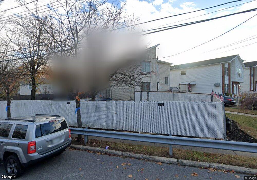
583 Winant Ave Staten Island, NY 10309
Rossville NeighborhoodEstimated Value: $629,000 - $771,000
3
Beds
3
Baths
1,600
Sq Ft
$452/Sq Ft
Est. Value
About This Home
This home is located at 583 Winant Ave, Staten Island, NY 10309 and is currently estimated at $723,740, approximately $452 per square foot. 583 Winant Ave is a home located in Richmond County with nearby schools including P.S. 56 - The Louis Desario School, Is 34 Tottenville, and Tottenville High School.
Ownership History
Date
Name
Owned For
Owner Type
Purchase Details
Closed on
Feb 18, 2010
Sold by
Lamberti Joseph A
Bought by
Lamberti Joseph A and Lamberti Nicole
Current Estimated Value
Purchase Details
Closed on
Aug 20, 1998
Sold by
Westfield Shore Horizons Inc
Bought by
Lamberti Joseph
Home Financials for this Owner
Home Financials are based on the most recent Mortgage that was taken out on this home.
Original Mortgage
$130,000
Outstanding Balance
$27,073
Interest Rate
6.9%
Estimated Equity
$696,667
Create a Home Valuation Report for This Property
The Home Valuation Report is an in-depth analysis detailing your home's value as well as a comparison with similar homes in the area
Home Values in the Area
Average Home Value in this Area
Purchase History
| Date | Buyer | Sale Price | Title Company |
|---|---|---|---|
| Lamberti Joseph A | -- | None Available | |
| Lamberti Joseph | $167,000 | -- |
Source: Public Records
Mortgage History
| Date | Status | Borrower | Loan Amount |
|---|---|---|---|
| Open | Lamberti Joseph | $130,000 |
Source: Public Records
Tax History Compared to Growth
Tax History
| Year | Tax Paid | Tax Assessment Tax Assessment Total Assessment is a certain percentage of the fair market value that is determined by local assessors to be the total taxable value of land and additions on the property. | Land | Improvement |
|---|---|---|---|---|
| 2025 | $5,440 | $42,300 | $11,605 | $30,695 |
| 2024 | $5,452 | $34,560 | $13,401 | $21,159 |
| 2023 | $5,173 | $26,873 | $10,694 | $16,179 |
| 2022 | $4,799 | $33,240 | $16,260 | $16,980 |
| 2021 | $5,309 | $33,660 | $16,260 | $17,400 |
| 2020 | $5,029 | $32,460 | $16,260 | $16,200 |
| 2019 | $4,672 | $31,320 | $16,260 | $15,060 |
| 2018 | $4,267 | $22,394 | $10,182 | $12,212 |
| 2017 | $4,265 | $22,394 | $10,915 | $11,479 |
| 2016 | $4,133 | $22,222 | $11,214 | $11,008 |
| 2015 | $3,491 | $20,966 | $10,212 | $10,754 |
| 2014 | $3,491 | $19,780 | $11,551 | $8,229 |
Source: Public Records
Map
Nearby Homes
- 97 Bower Ct Unit 1
- 97 Bower Ct Unit 74
- 40 Bower Ct
- 37 Charleston Ave
- 22 Charleston Ave Unit 168
- 76 Lucille Ave
- 149 Lucille Ave
- 39 Hemlock Ct Unit 152
- 494 Winant Ave
- 38 Cypress Loop
- 125 Wirt Ave
- 87 Cypress Loop Unit 243
- 5 Wirt Ave
- 85 Cypress Loop
- 159 Wirt Ave
- 16 Wirt Ln
- 857 Bloomingdale Rd
- 62 Arrowood Ct Unit 601
- 27 Berry Ct Unit 565
- 45 Redwood Loop