5833 E Division Rd La Porte, IN 46350
Estimated Value: $357,000 - $614,000
3
Beds
3
Baths
2,134
Sq Ft
$206/Sq Ft
Est. Value
About This Home
This home is located at 5833 E Division Rd, La Porte, IN 46350 and is currently estimated at $440,091, approximately $206 per square foot. 5833 E Division Rd is a home located in LaPorte County with nearby schools including New Prairie High School.
Ownership History
Date
Name
Owned For
Owner Type
Purchase Details
Closed on
Sep 28, 2015
Sold by
Hays William and Hays Johanne
Bought by
Stringham Bradley S and Stringham Ashley K
Current Estimated Value
Home Financials for this Owner
Home Financials are based on the most recent Mortgage that was taken out on this home.
Original Mortgage
$159,801
Outstanding Balance
$123,770
Interest Rate
3.75%
Mortgage Type
FHA
Estimated Equity
$316,321
Create a Home Valuation Report for This Property
The Home Valuation Report is an in-depth analysis detailing your home's value as well as a comparison with similar homes in the area
Purchase History
| Date | Buyer | Sale Price | Title Company |
|---|---|---|---|
| Stringham Bradley S | -- | Metropolitan Title |
Source: Public Records
Mortgage History
| Date | Status | Borrower | Loan Amount |
|---|---|---|---|
| Open | Stringham Bradley S | $159,801 |
Source: Public Records
Tax History
| Year | Tax Paid | Tax Assessment Tax Assessment Total Assessment is a certain percentage of the fair market value that is determined by local assessors to be the total taxable value of land and additions on the property. | Land | Improvement |
|---|---|---|---|---|
| 2025 | $2,829 | $248,100 | $79,900 | $168,200 |
| 2024 | $2,624 | $249,400 | $79,900 | $169,500 |
| 2023 | $2,545 | $228,200 | $79,900 | $148,300 |
| 2022 | $2,743 | $232,700 | $79,900 | $152,800 |
| 2021 | $2,810 | $224,400 | $79,900 | $144,500 |
| 2020 | $2,867 | $224,400 | $79,900 | $144,500 |
| 2019 | $2,904 | $227,600 | $79,900 | $147,700 |
| 2018 | $2,262 | $196,800 | $60,400 | $136,400 |
| 2017 | $2,009 | $179,500 | $52,800 | $126,700 |
| 2016 | $2,270 | $186,200 | $52,800 | $133,400 |
| 2014 | $2,161 | $214,500 | $21,600 | $192,900 |
Source: Public Records
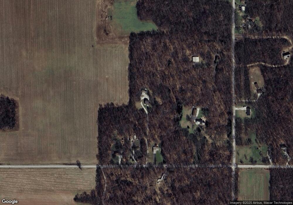
Map
Nearby Homes
- 2282 S Taylor Rd
- 67 Acres E 300 N
- 1606 N Longshore Dr
- 212 Lakeside Dr
- 9301 E Division Rd
- 0 S Longshore Dr
- 2898 N 350 E
- 3812 N 600 E
- 315 Holly Dr
- 3466 S State Road 104
- 2945 N Morning Glory Ave Unit 73
- 2983 N Morning Glory Ave Unit 72
- 2979 N Morning Glory Ave
- 2893 N Morning Glory Ave
- 3099 N 350 E
- 325 Lilac Dr
- 2897 N Morning Glory Ave
- 3429 E Sand Ridge Rd
- 260 E Hupp Rd
- 3961 State Road 104
- 5777 E Division Rd
- 5767 E Division Rd
- 5977 E Division Rd
- 5757 E Division Rd
- 5740 E Division Rd
- 117 N 600 E
- 12 N 600 E
- 13 N 600 E
- 8 N 600 E
- 7 N 600 E
- 6 N 600 E
- 4 N 600 E
- 1 N 600 E
- 0 S 600 E
- 0 S 600 E Unit NRA805049
- 0 S 600 E Unit GNR199823
- 0 S 600 E Unit GNR182610
- 0 S 600 E Unit GNR153570
- 0 S 600 E Unit 507500
- 123 N 600 E
Your Personal Tour Guide
Ask me questions while you tour the home.