5834 Campfire Dr Fort Gratiot, MI 48059
Estimated Value: $451,000 - $705,000
4
Beds
2
Baths
2,160
Sq Ft
$268/Sq Ft
Est. Value
About This Home
This home is located at 5834 Campfire Dr, Fort Gratiot, MI 48059 and is currently estimated at $578,369, approximately $267 per square foot. 5834 Campfire Dr is a home located in St. Clair County with nearby schools including Keewahdin Elementary School, Fort Gratiot Middle School, and Port Huron Northern High School.
Ownership History
Date
Name
Owned For
Owner Type
Purchase Details
Closed on
Apr 28, 2021
Sold by
Mccalmon Mara R
Bought by
Mccalmon Mara R and Mccalmon Kyle
Current Estimated Value
Home Financials for this Owner
Home Financials are based on the most recent Mortgage that was taken out on this home.
Original Mortgage
$400,000
Outstanding Balance
$360,977
Interest Rate
2.97%
Estimated Equity
$217,392
Purchase Details
Closed on
Jan 5, 2018
Sold by
Gibson Cindy L and Gibson Charles
Bought by
Holman Lawrence and Holman Therese M
Purchase Details
Closed on
Aug 11, 2016
Sold by
Gibson Charles
Bought by
Gibson Charles and Gibson Cindy L
Create a Home Valuation Report for This Property
The Home Valuation Report is an in-depth analysis detailing your home's value as well as a comparison with similar homes in the area
Home Values in the Area
Average Home Value in this Area
Purchase History
| Date | Buyer | Sale Price | Title Company |
|---|---|---|---|
| Mccalmon Mara R | -- | None Available | |
| Mccalmon Mara R | $500,000 | Ata National Title | |
| Holman Lawrence | $306,000 | First American Title | |
| Gibson Charles | -- | Attorney |
Source: Public Records
Mortgage History
| Date | Status | Borrower | Loan Amount |
|---|---|---|---|
| Open | Mccalmon Mara R | $400,000 |
Source: Public Records
Tax History Compared to Growth
Tax History
| Year | Tax Paid | Tax Assessment Tax Assessment Total Assessment is a certain percentage of the fair market value that is determined by local assessors to be the total taxable value of land and additions on the property. | Land | Improvement |
|---|---|---|---|---|
| 2025 | $3,562 | $190,800 | $0 | $0 |
| 2024 | $3,562 | $192,200 | $0 | $0 |
| 2023 | $3,270 | $182,100 | $0 | $0 |
| 2022 | $6,302 | $197,400 | $0 | $0 |
| 2021 | $6,213 | $117,400 | $0 | $0 |
| 2020 | $6,213 | $132,200 | $132,200 | $0 |
| 2019 | $6,818 | $121,600 | $0 | $0 |
| 2018 | $4,318 | $145,700 | $0 | $0 |
| 2017 | $4,210 | $141,300 | $0 | $0 |
| 2016 | $1,890 | $141,300 | $0 | $0 |
| 2015 | -- | $124,600 | $124,600 | $0 |
| 2014 | -- | $115,600 | $115,600 | $0 |
| 2013 | -- | $118,500 | $0 | $0 |
Source: Public Records
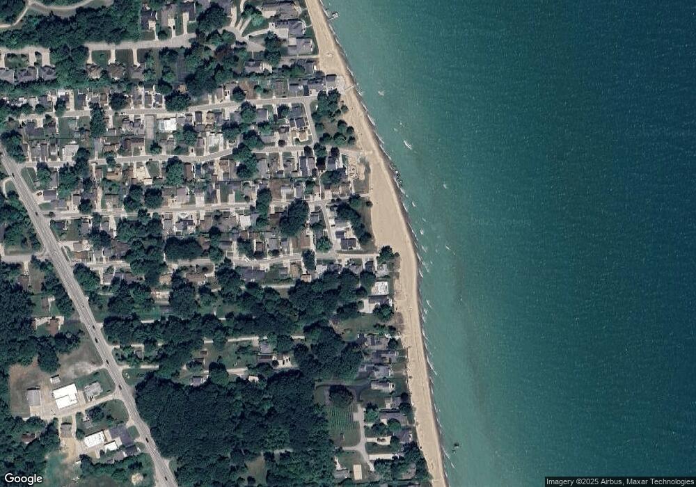
Map
Nearby Homes
- 5871 Manor Dr
- 5802 Lakeshore Rd
- 3051 Elmwood Dr
- 0 Maplewood Dr
- 0 Elmwood Dr
- 0 Elmwood Dr Unit 50142552
- 00 Elmwood Dr
- 5745 Lakeshore Dr Ave
- 5741 Lakeshore Dr Ave
- 3239 N Shoreview Dr
- 3310 Blue Water Dr
- 5972 E Montevista Dr
- 00 Lakeshore Rd
- 5960 W Montevista Dr
- 6125 Wildrose Ln
- 3148 Brace Rd
- 5453 Baywood Dr
- 5429 Shorewood Dr
- V/L Brace Rd
- 6041 Delaware Dr
- VL Campfire
- 5840 Campfire Dr
- 5837 Campfire Dr
- 2985 Sylvan Dr
- 2975 Sylvan Dr
- 3002 Woodland Dr
- 3006 Woodland Dr
- 3006 Woodland Dr
- 2983 Woodland Dr
- 2993 Woodland Dr
- 2976 Sylvan Dr
- 2979 Woodland Dr
- 2966 Sylvan Dr
- 2990 Sylvan Dr
- 3005 Woodland Dr
- 3010 Woodland Dr
- 2975 Woodland Dr
- 2971 Maplewood Dr
- 3003 Sylvan Dr
- 3003 Sylvan Dr