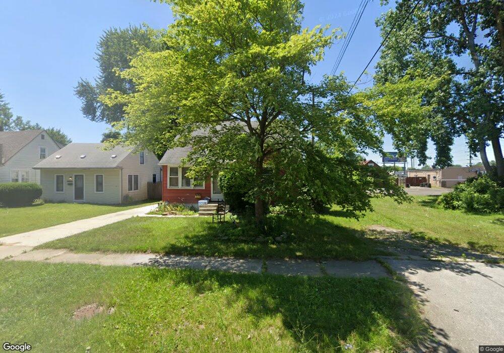
5834 Hampden St Unit Bldg-Unit Taylor, MI 48180
Estimated Value: $117,000 - $158,000
--
Bed
1
Bath
840
Sq Ft
$162/Sq Ft
Est. Value
About This Home
This home is located at 5834 Hampden St Unit Bldg-Unit, Taylor, MI 48180 and is currently estimated at $136,050, approximately $161 per square foot. 5834 Hampden St Unit Bldg-Unit is a home located in Wayne County with nearby schools including Clarence Randall Elementary School, Hoover Middle School, and Taylor High School.
Ownership History
Date
Name
Owned For
Owner Type
Purchase Details
Closed on
Mar 6, 2018
Sold by
Johnsen Linda M and Herron Denise R
Bought by
Shaw Randal S
Current Estimated Value
Home Financials for this Owner
Home Financials are based on the most recent Mortgage that was taken out on this home.
Original Mortgage
$51,000
Outstanding Balance
$43,462
Interest Rate
4.15%
Mortgage Type
New Conventional
Estimated Equity
$92,588
Purchase Details
Closed on
Sep 9, 2015
Sold by
Johnsen Linda and Johnsen Robert
Bought by
Johnsen Linda M and Herron Denise R
Create a Home Valuation Report for This Property
The Home Valuation Report is an in-depth analysis detailing your home's value as well as a comparison with similar homes in the area
Home Values in the Area
Average Home Value in this Area
Purchase History
| Date | Buyer | Sale Price | Title Company |
|---|---|---|---|
| Shaw Randal S | $60,000 | None Available | |
| Johnsen Linda M | -- | Attorney |
Source: Public Records
Mortgage History
| Date | Status | Borrower | Loan Amount |
|---|---|---|---|
| Open | Shaw Randal S | $51,000 |
Source: Public Records
Tax History Compared to Growth
Tax History
| Year | Tax Paid | Tax Assessment Tax Assessment Total Assessment is a certain percentage of the fair market value that is determined by local assessors to be the total taxable value of land and additions on the property. | Land | Improvement |
|---|---|---|---|---|
| 2025 | $1,363 | $58,700 | $0 | $0 |
| 2024 | $1,363 | $53,500 | $0 | $0 |
| 2023 | $1,640 | $45,600 | $0 | $0 |
| 2022 | $1,301 | $42,400 | $0 | $0 |
| 2021 | $1,441 | $36,000 | $0 | $0 |
| 2020 | $1,681 | $30,900 | $0 | $0 |
| 2019 | $158,550 | $26,700 | $0 | $0 |
| 2018 | $885 | $22,200 | $0 | $0 |
| 2017 | $495 | $21,800 | $0 | $0 |
| 2016 | $1,124 | $21,200 | $0 | $0 |
| 2015 | $2,000 | $20,000 | $0 | $0 |
| 2013 | $2,270 | $23,500 | $0 | $0 |
| 2012 | $988 | $23,200 | $9,000 | $14,200 |
Source: Public Records
Map
Nearby Homes
- 5993 John Daly St
- 5970 John Daly St
- 6075 Duncan St
- 6107 John Daly St
- 26532 Powers Ave
- 5961 Marvin St
- 6303 Duncan St
- 26004 Currier St
- 26106 Powers Ave
- 25965 Currier St
- 6179 Fellrath St
- 6348 Dean St
- 5526 Sylvia St
- 0000 Beech Daly
- 6370 Hampden St
- 5845 Beech Daly Rd
- 6338 Marvin St
- 5961 Beech Daly Rd
- 26225 McDonald St
- 5851 Oldham St
- 5834 Hampden St
- 5842 Hampden St
- 5850 Hampden St
- 26543 van Born Rd
- 26549 van Born Rd
- 5861 John Daly St
- 5853 Hampden St
- 5869 John Daly St
- 5851 John Daly St
- 5833 Hampden St
- 5841 Hampden St
- 5874 Hampden St
- 5877 John Daly St
- 26431 van Born Rd
- 26431 van Born Rd
- 26431 van Born Rd
- 26431 van Born Rd
- Hampden St
- 5906 Hampden St
- 5867 Hampden St