Estimated Value: $522,000 - $788,000
3
Beds
2
Baths
1,960
Sq Ft
$313/Sq Ft
Est. Value
About This Home
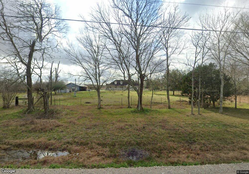
This home is located at 5835 County Road 182, Alvin, TX 77511 and is currently estimated at $613,860, approximately $313 per square foot. 5835 County Road 182 is a home located in Brazoria County with nearby schools including Bob & Betty Nelson Elementary School and Alvin High School.
Ownership History
Date
Name
Owned For
Owner Type
Purchase Details
Closed on
Jul 25, 2025
Sold by
Foerster Gordon L
Bought by
Foerster Deborah
Current Estimated Value
Purchase Details
Closed on
Jan 23, 2006
Sold by
Grunigen David A
Bought by
Lozano Jose R and Lozano Rebecca L
Home Financials for this Owner
Home Financials are based on the most recent Mortgage that was taken out on this home.
Original Mortgage
$45,000
Interest Rate
6.22%
Mortgage Type
Fannie Mae Freddie Mac
Create a Home Valuation Report for This Property
The Home Valuation Report is an in-depth analysis detailing your home's value as well as a comparison with similar homes in the area
Home Values in the Area
Average Home Value in this Area
Purchase History
| Date | Buyer | Sale Price | Title Company |
|---|---|---|---|
| Foerster Deborah | -- | None Listed On Document | |
| Lozano Jose R | -- | Texas American Title Company |
Source: Public Records
Mortgage History
| Date | Status | Borrower | Loan Amount |
|---|---|---|---|
| Previous Owner | Lozano Jose R | $45,000 |
Source: Public Records
Tax History Compared to Growth
Tax History
| Year | Tax Paid | Tax Assessment Tax Assessment Total Assessment is a certain percentage of the fair market value that is determined by local assessors to be the total taxable value of land and additions on the property. | Land | Improvement |
|---|---|---|---|---|
| 2025 | $3,021 | $260,972 | $31,170 | $292,880 |
| 2023 | $3,021 | $251,174 | $20,880 | $338,740 |
| 2022 | $5,025 | $228,390 | $20,830 | $207,560 |
| 2021 | $4,755 | $214,290 | $21,430 | $192,860 |
| 2020 | $4,772 | $228,470 | $19,760 | $208,710 |
| 2019 | $4,466 | $192,930 | $12,690 | $180,240 |
| 2018 | $4,477 | $192,880 | $12,640 | $180,240 |
| 2017 | $4,554 | $193,860 | $13,630 | $180,230 |
| 2016 | $4,546 | $193,530 | $12,250 | $181,280 |
| 2014 | $3,824 | $182,220 | $11,350 | $170,870 |
Source: Public Records
Map
Nearby Homes
- 12814 County Road 557
- 0 Cr-392
- 5130 County Road 392
- 9602 Evan Dr
- 14010 Patricia Ln Unit CR377
- 10203 S Country Dr
- 0
- 0 Patricia Cr 377 Ln
- 10311 Farm To Market 1462
- 000 Farm To Market 1462 Rd
- 14707 Susie Ln
- 0 County Road 121
- 00000 Cheryl St
- 10007 Cheryl St
- 5624 Wickwillow Ln
- 15586 County Road 436
- 7923 Stratford Hall Dr
- 7911 Stratford Hall Dr
- 6203 Wickwillow Ln
- 2703 County Road 962d
- 5825 County Road 182
- 5825 Cr 182
- 6055 County Road 182
- 6107 County Road 182
- 6203 Cr 182
- 6203 County Road 182
- 6115 County Road 182
- 6211 County Road 182
- 6026 County Road 392
- 12750 County Road 557
- 12801 County Road 557
- 6227 County Road 182
- 12619 County Road 38
- 5930 County Road 392
- 5415 County Road 182
- 12621 County Road 38
- 7649 W Oak Cross St
- 7469 W Oak Cross St
- 12637 County Road 38
- 0 County Road 557