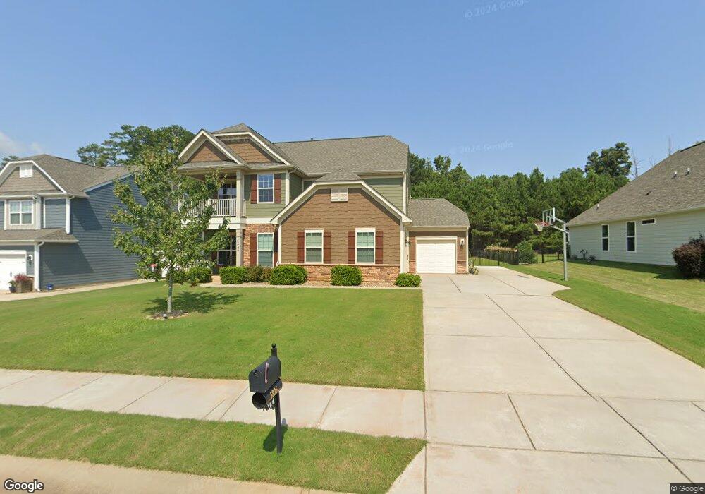
5835 Mcclintock Dr Unit LOT119 Denver, NC 28037
Estimated Value: $547,473 - $568,000
4
Beds
3
Baths
2,429
Sq Ft
$232/Sq Ft
Est. Value
About This Home
This home is located at 5835 Mcclintock Dr Unit LOT119, Denver, NC 28037 and is currently estimated at $562,368, approximately $231 per square foot. 5835 Mcclintock Dr Unit LOT119 is a home located in Lincoln County with nearby schools including Rock Springs Elementary School, North Lincoln Middle School, and North Lincoln High School.
Ownership History
Date
Name
Owned For
Owner Type
Purchase Details
Closed on
Dec 19, 2014
Sold by
Eastwood Construction Llc
Bought by
Luck Richard B and Luck Wendy L
Current Estimated Value
Home Financials for this Owner
Home Financials are based on the most recent Mortgage that was taken out on this home.
Original Mortgage
$150,525
Outstanding Balance
$116,020
Interest Rate
4.09%
Mortgage Type
New Conventional
Estimated Equity
$446,348
Create a Home Valuation Report for This Property
The Home Valuation Report is an in-depth analysis detailing your home's value as well as a comparison with similar homes in the area
Home Values in the Area
Average Home Value in this Area
Purchase History
| Date | Buyer | Sale Price | Title Company |
|---|---|---|---|
| Luck Richard B | $271,000 | None Available |
Source: Public Records
Mortgage History
| Date | Status | Borrower | Loan Amount |
|---|---|---|---|
| Open | Luck Richard B | $150,525 |
Source: Public Records
Tax History Compared to Growth
Tax History
| Year | Tax Paid | Tax Assessment Tax Assessment Total Assessment is a certain percentage of the fair market value that is determined by local assessors to be the total taxable value of land and additions on the property. | Land | Improvement |
|---|---|---|---|---|
| 2025 | $3,054 | $481,592 | $82,000 | $399,592 |
| 2024 | $3,024 | $481,592 | $82,000 | $399,592 |
| 2023 | $3,019 | $481,592 | $82,000 | $399,592 |
| 2022 | $2,433 | $312,874 | $62,000 | $250,874 |
| 2021 | $2,412 | $312,874 | $62,000 | $250,874 |
| 2020 | $2,234 | $312,874 | $62,000 | $250,874 |
| 2019 | $2,234 | $312,874 | $62,000 | $250,874 |
| 2018 | $2,064 | $270,321 | $51,000 | $219,321 |
| 2017 | $1,963 | $270,321 | $51,000 | $219,321 |
| 2016 | $1,956 | $270,321 | $51,000 | $219,321 |
| 2015 | $2,089 | $270,321 | $51,000 | $219,321 |
| 2014 | -- | $0 | $0 | $0 |
Source: Public Records
Map
Nearby Homes
- 7946 Norman Pointe Dr
- 3981 Spinnaker Place
- 0000 Spindrift Cove Unit 59
- 0000 Webbs Rd
- 7246 Adirondack Dr
- 4013 Spindrift Cove Dr
- 4017 Halyard Dr
- 7193 Adirondack Dr
- 4028 Spindrift Cove Unit 60
- 7721 Red Robin Trail
- 7705 Red Robin Trail
- 4227 Legacy Dr
- 3934 Blue Dory Ln
- 4333 Legacy Dr
- 4067 Rivendell Rd
- 3992 Blue Dory Ln
- 7717 Nautical View
- 7718 Sarah Dr
- 00 Rivendell Rd
- 4024 Red Hill Way
- 5829 Mcclintock Dr
- 5843 Mcclintock Dr
- 5821 Mcclintock Dr
- 5821 Mcclintock Dr Unit 121
- 5849 Mcclintock Dr
- 5857 Mcclintock Dr
- 5824 Mcclintock Dr
- 5832 Mcclintock Dr
- 5832 Mcclintock Dr Unit 246
- 5840 Mcclintock Dr Unit 245
- 5848 Mcclintock Dr Unit LOT244
- 5803 Mcclintock Dr Unit 123
- 5865 Mcclintock Dr Unit 115
- 5816 Mcclintock Dr
- 5816 Mcclintock Dr Unit LOT248
- 5806 Mcclintock Dr
- 5856 Mcclintock Dr Unit LOT243
- 5866 Mcclintock Dr
- 5798 Mcclintock Dr
- 5871 Mcclintock Dr Unit LOT114