5835 Oakland Dr Unit 4 Portage, MI 49024
Estimated Value: $926,849
--
Bed
--
Bath
4,060
Sq Ft
$228/Sq Ft
Est. Value
About This Home
This home is located at 5835 Oakland Dr Unit 4, Portage, MI 49024 and is currently estimated at $926,849, approximately $228 per square foot. 5835 Oakland Dr Unit 4 is a home located in Kalamazoo County with nearby schools including Haverhill Elementary School, Portage North Middle School, and Portage Northern High School.
Ownership History
Date
Name
Owned For
Owner Type
Purchase Details
Closed on
May 28, 2024
Sold by
Sterling On Oakland Llc
Bought by
Michael P Sharp Realty Llc
Current Estimated Value
Purchase Details
Closed on
Dec 22, 2015
Sold by
Talmer Bank & Trust
Bought by
Sterling On Oakland Llc
Home Financials for this Owner
Home Financials are based on the most recent Mortgage that was taken out on this home.
Original Mortgage
$832,000
Interest Rate
3.92%
Mortgage Type
Future Advance Clause Open End Mortgage
Purchase Details
Closed on
Jun 11, 2015
Sold by
Cas Group Llc
Bought by
Talmer West Bank and Michigan Commerce Bank
Create a Home Valuation Report for This Property
The Home Valuation Report is an in-depth analysis detailing your home's value as well as a comparison with similar homes in the area
Home Values in the Area
Average Home Value in this Area
Purchase History
| Date | Buyer | Sale Price | Title Company |
|---|---|---|---|
| Michael P Sharp Realty Llc | $900,000 | None Listed On Document | |
| Sterling On Oakland Llc | -- | Sun Title Agency | |
| Talmer West Bank | $525,000 | Attorney |
Source: Public Records
Mortgage History
| Date | Status | Borrower | Loan Amount |
|---|---|---|---|
| Previous Owner | Sterling On Oakland Llc | $832,000 | |
| Closed | Michael P Sharp Realty Llc | $0 |
Source: Public Records
Tax History Compared to Growth
Tax History
| Year | Tax Paid | Tax Assessment Tax Assessment Total Assessment is a certain percentage of the fair market value that is determined by local assessors to be the total taxable value of land and additions on the property. | Land | Improvement |
|---|---|---|---|---|
| 2025 | $19,823 | $406,500 | $0 | $0 |
| 2024 | $18,118 | $417,400 | $0 | $0 |
| 2023 | $17,266 | $403,500 | $0 | $0 |
| 2022 | $17,976 | $371,200 | $0 | $0 |
| 2021 | $17,381 | $365,400 | $0 | $0 |
| 2020 | $17,042 | $427,000 | $0 | $0 |
| 2019 | $1,100 | $313,400 | $0 | $0 |
| 2018 | $0 | $270,800 | $0 | $0 |
| 2017 | $0 | $255,200 | $0 | $0 |
| 2016 | -- | $275,000 | $0 | $0 |
| 2015 | -- | $317,600 | $0 | $0 |
| 2014 | -- | $285,400 | $0 | $0 |
Source: Public Records
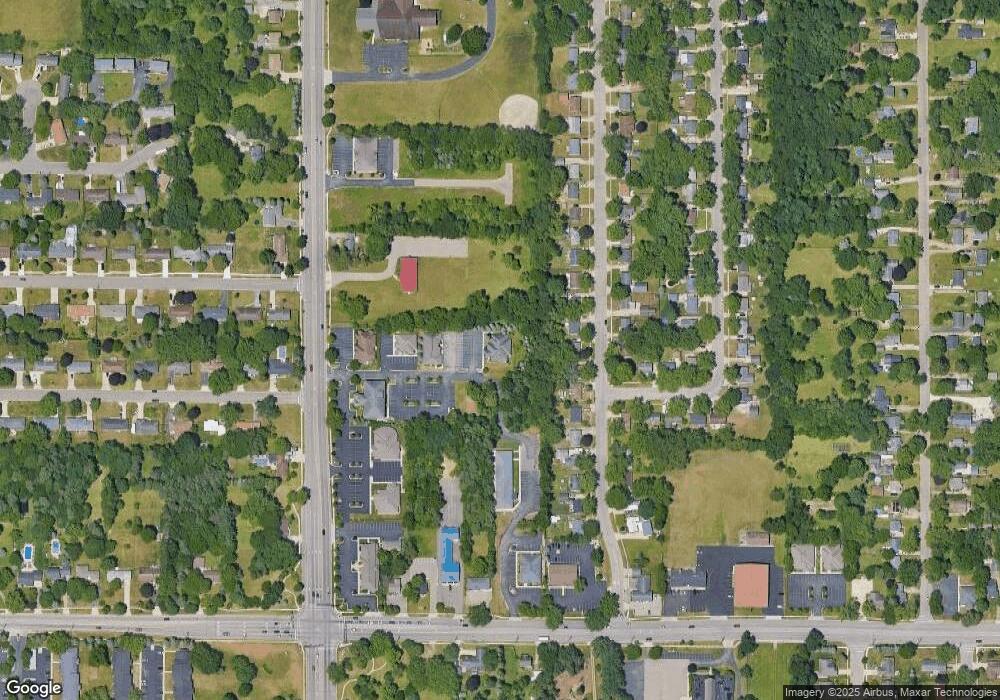
Map
Nearby Homes
- 5545 Roanoke St
- 5631 Mount Vernon Ave
- 6051 Bradford St
- 6048 Marlow St
- 6235 Oakland Dr
- 2614 E Heverly Dr
- 6238 Hampton St
- 2711 Hemlock Ave
- 2408 Kalarama Ave
- 6303 Surrey St
- 1332 Sussex St
- 1818 Greenbriar Dr
- 1922 Brighton Ln Unit 31
- 1998 Brighton Ln Unit 16
- 6325 Avon St
- 2029 Brighton Ln Unit 7
- 5747 Utah Ave
- 6514 Marlow St
- 6439 Cypress St
- 1901 Timberlane Dr
- 5833 Oakland Dr Unit 2
- 5833 Oakland Dr
- 5824 Roanoke St
- 5818 Roanoke St
- 5830 Roanoke St
- 5812 Roanoke St
- 5836 Roanoke St
- 5806 Roanoke St
- 5842 Roanoke St
- 5831 Oakland Dr
- 5748 Roanoke St
- 5848 Roanoke St
- 5829 Roanoke St
- 5742 Roanoke St
- 5904 Roanoke St
- 5817 Roanoke St
- 5827 Oakland Dr
- 5811 Roanoke St
- 1908 W Milham Ave
- 5845 Roanoke St