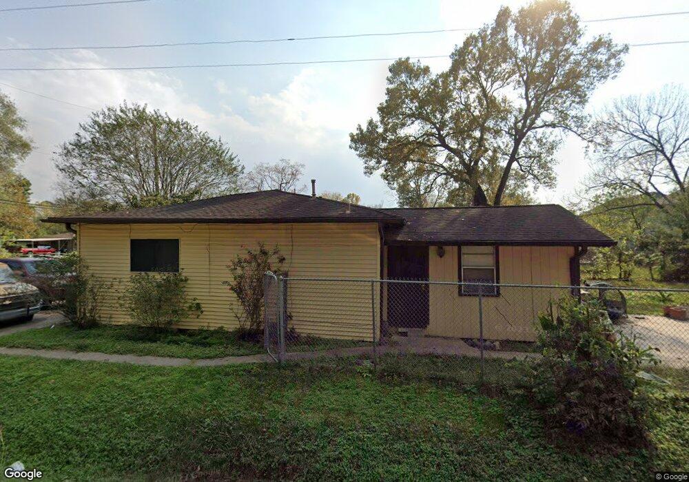
5835 Phillips St Houston, TX 77091
Acres Homes NeighborhoodEstimated Value: $138,627 - $265,000
2
Beds
1
Bath
904
Sq Ft
$220/Sq Ft
Est. Value
About This Home
This home is located at 5835 Phillips St, Houston, TX 77091 and is currently estimated at $198,657, approximately $219 per square foot. 5835 Phillips St is a home located in Harris County with nearby schools including Reece Academy, Anderson Academy, and Drew Academy.
Ownership History
Date
Name
Owned For
Owner Type
Purchase Details
Closed on
Aug 9, 2019
Sold by
Williams Nancy Ann
Bought by
J P Rei Solutons Llc
Current Estimated Value
Home Financials for this Owner
Home Financials are based on the most recent Mortgage that was taken out on this home.
Original Mortgage
$40,000
Interest Rate
3.4%
Mortgage Type
Construction
Create a Home Valuation Report for This Property
The Home Valuation Report is an in-depth analysis detailing your home's value as well as a comparison with similar homes in the area
Home Values in the Area
Average Home Value in this Area
Purchase History
| Date | Buyer | Sale Price | Title Company |
|---|---|---|---|
| J P Rei Solutons Llc | -- | None Available |
Source: Public Records
Mortgage History
| Date | Status | Borrower | Loan Amount |
|---|---|---|---|
| Previous Owner | J P Rei Solutons Llc | $40,000 |
Source: Public Records
Tax History Compared to Growth
Tax History
| Year | Tax Paid | Tax Assessment Tax Assessment Total Assessment is a certain percentage of the fair market value that is determined by local assessors to be the total taxable value of land and additions on the property. | Land | Improvement |
|---|---|---|---|---|
| 2025 | $2,722 | $138,600 | $94,710 | $43,890 |
| 2024 | $2,722 | $119,942 | $94,710 | $25,232 |
| 2023 | $2,722 | $113,054 | $87,822 | $25,232 |
| 2022 | $1,868 | $77,888 | $52,656 | $25,232 |
| 2021 | $1,185 | $47,172 | $21,940 | $25,232 |
| 2020 | $1,217 | $46,101 | $21,940 | $24,161 |
| 2019 | $1,276 | $46,101 | $21,940 | $24,161 |
| 2018 | $554 | $38,576 | $17,552 | $21,024 |
| 2017 | $1,023 | $38,576 | $17,552 | $21,024 |
| 2016 | $1,023 | $38,576 | $17,552 | $21,024 |
| 2015 | -- | $26,756 | $10,971 | $15,785 |
| 2014 | -- | $26,756 | $10,971 | $15,785 |
Source: Public Records
Map
Nearby Homes
- 5816 Highland Sky Ln
- 5814 Highland Sky Ln
- 5812 Highland Sky Ln
- 5810 Highland Sky Ln
- 5808 Highland Sky Ln
- 1716 Mansfield St
- 1704 Mansfield St
- 00000 Mansfield St
- 1816 Mansfield St
- 1814 Mansfield St
- 1804 Mansfield St
- 892 Paul Quinn St
- 890 Paul Quinn St
- 880 Paul Quinn St
- 1844 W Tidwell Rd
- 2120 Mansfield
- 1620 Paul Quinn St
- 1850 W Tidwell Rd
- 2000 Paul Quinn
- 1830 W Tidwell Rd
- 5831 Phillips St
- 5839 Phillips St
- 5832 Highland Sky Ln
- 5834 Highland Sky Ln
- 5830 Highland Sky Ln
- 5828 Highland Sky Ln
- 5823 Phillips St
- 5824 Highland Sky Ln
- 5829 Highland Sky Ln
- 5833 Highland Sky Ln
- 1837 Mansfield St
- 5838 Phillips St
- 5830 Phillips St
- 5827 Highland Sky Ln
- 5822 Highland Sky Ln
- 5820 Highland Sky Ln
- 5819 Phillips St
- 5826 Phillips St
- 5823 Highland Sky Ln
- 5818 Highland Sky Ln