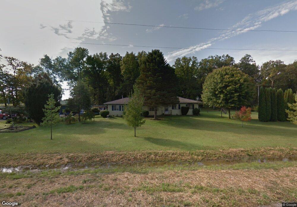
5837 Colf Rd Carleton, MI 48117
Estimated Value: $285,000 - $308,000
4
Beds
2
Baths
1,584
Sq Ft
$188/Sq Ft
Est. Value
About This Home
This home is located at 5837 Colf Rd, Carleton, MI 48117 and is currently estimated at $297,384, approximately $187 per square foot. 5837 Colf Rd is a home located in Monroe County with nearby schools including Airport Senior High School.
Ownership History
Date
Name
Owned For
Owner Type
Purchase Details
Closed on
Jul 11, 1995
Sold by
Freeman James L
Bought by
Story Paulette
Current Estimated Value
Home Financials for this Owner
Home Financials are based on the most recent Mortgage that was taken out on this home.
Original Mortgage
$78,350
Interest Rate
7.79%
Mortgage Type
New Conventional
Create a Home Valuation Report for This Property
The Home Valuation Report is an in-depth analysis detailing your home's value as well as a comparison with similar homes in the area
Purchase History
| Date | Buyer | Sale Price | Title Company |
|---|---|---|---|
| Story Paulette | $82,500 | -- |
Source: Public Records
Mortgage History
| Date | Status | Borrower | Loan Amount |
|---|---|---|---|
| Closed | Story Paulette | $78,350 |
Source: Public Records
Tax History
| Year | Tax Paid | Tax Assessment Tax Assessment Total Assessment is a certain percentage of the fair market value that is determined by local assessors to be the total taxable value of land and additions on the property. | Land | Improvement |
|---|---|---|---|---|
| 2025 | $868 | $126,600 | $30,000 | $96,600 |
| 2024 | $691 | $110,800 | $0 | $0 |
| 2023 | $908 | $0 | $0 | $0 |
| 2022 | $908 | $0 | $0 | $0 |
| 2021 | $927 | $86,000 | $0 | $0 |
| 2020 | $952 | $0 | $0 | $0 |
| 2019 | $967 | $0 | $0 | $0 |
| 2018 | $986 | $0 | $0 | $0 |
| 2017 | $1,006 | $66,000 | $0 | $0 |
| 2016 | $1,026 | $0 | $0 | $0 |
| 2015 | $2,193 | $50,500 | $0 | $0 |
| 2014 | $2,193 | $50,500 | $0 | $0 |
| 2013 | $2,285 | $49,350 | $0 | $0 |
Source: Public Records
Map
Nearby Homes
- 13680 Martinsville Rd
- 28710 Sumpter Rd
- 0 Hivon Rd
- 8085 W Newburg Rd
- Vl Sherwood Rd
- 26700 Martinsville Rd
- 8200 Oakville Waltz Rd
- 13498 Exeter Rd
- 26055 Martinsville Rd
- 43001 Willow Rd
- 0 Carleton West Rd
- 25700 Karr Rd
- 44235 Wear Rd
- 51105 Arkona Rd
- VL Wear Rd
- 24118 Martinsville Rd
- 26261 Karr Rd
- 24053 Bohn Rd
- 48150 Wear Rd
- 23901 Sumpter Rd
- 5837 Colf Rd
- 5855 Colf Rd
- 5896 Colf Rd
- 5740 Colf Rd
- 13690 Sumpter Rd
- 5840 Colf Rd
- 5640 Colf Rd
- 13720 Sumpter Rd
- 13674 Sumpter Rd
- 0000 Sumpter Rd
- 13554 Sumpter Rd
- 13711 Sumpter Rd
- 13721 Sumpter Rd
- 13745 Sumpter Rd
- 13814 Sumpter Rd
- 13757 Sumpter Rd
- 5500 Colf Rd Unit Bldg-Unit
- 5500 Colf Rd
- 5500 Colf Rd
- 13440 Sumpter Rd
Your Personal Tour Guide
Ask me questions while you tour the home.