Estimated Value: $550,000 - $583,000
3
Beds
4
Baths
1,364
Sq Ft
$417/Sq Ft
Est. Value
About This Home
This home is located at 5839 Canvasback Rd, Burke, VA 22015 and is currently estimated at $568,221, approximately $416 per square foot. 5839 Canvasback Rd is a home located in Fairfax County with nearby schools including White Oaks Elementary School, Lake Braddock Secondary School, and Nativity Catholic School.
Ownership History
Date
Name
Owned For
Owner Type
Purchase Details
Closed on
Sep 3, 2003
Sold by
Peros Kerry
Bought by
Eltilib Ali M
Current Estimated Value
Home Financials for this Owner
Home Financials are based on the most recent Mortgage that was taken out on this home.
Original Mortgage
$237,500
Outstanding Balance
$108,507
Interest Rate
6.02%
Mortgage Type
New Conventional
Estimated Equity
$459,714
Purchase Details
Closed on
Dec 27, 1993
Sold by
Lange J E
Bought by
Peros Donald D
Home Financials for this Owner
Home Financials are based on the most recent Mortgage that was taken out on this home.
Original Mortgage
$138,509
Interest Rate
7%
Create a Home Valuation Report for This Property
The Home Valuation Report is an in-depth analysis detailing your home's value as well as a comparison with similar homes in the area
Home Values in the Area
Average Home Value in this Area
Purchase History
| Date | Buyer | Sale Price | Title Company |
|---|---|---|---|
| Eltilib Ali M | $250,000 | -- | |
| Peros Donald D | $140,000 | -- |
Source: Public Records
Mortgage History
| Date | Status | Borrower | Loan Amount |
|---|---|---|---|
| Open | Peros Donald D | $237,500 | |
| Previous Owner | Peros Donald D | $138,509 |
Source: Public Records
Tax History
| Year | Tax Paid | Tax Assessment Tax Assessment Total Assessment is a certain percentage of the fair market value that is determined by local assessors to be the total taxable value of land and additions on the property. | Land | Improvement |
|---|---|---|---|---|
| 2025 | $6,048 | $554,620 | $180,000 | $374,620 |
| 2024 | $6,048 | $522,050 | $160,000 | $362,050 |
| 2023 | $5,891 | $522,050 | $160,000 | $362,050 |
| 2022 | $5,320 | $465,240 | $130,000 | $335,240 |
| 2021 | $5,003 | $426,370 | $110,000 | $316,370 |
| 2020 | $4,766 | $402,690 | $108,000 | $294,690 |
| 2019 | $4,730 | $399,690 | $105,000 | $294,690 |
| 2018 | $4,453 | $387,210 | $100,000 | $287,210 |
| 2017 | $4,339 | $373,710 | $100,000 | $273,710 |
| 2016 | $4,259 | $367,600 | $100,000 | $267,600 |
Source: Public Records
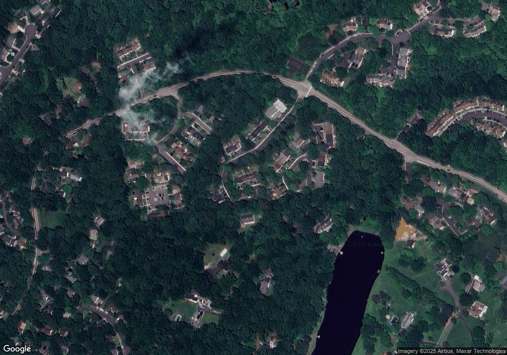
Map
Nearby Homes
- 5818 New England Woods Dr
- 9984 Whitewater Dr
- 5696 Tunwell Ct
- 5552 Peppercorn Dr
- 9983 Hemlock Woods Ln
- 5506 Kendrick Ln
- 5526 Kendrick Ln
- 9532 Burdett Rd
- 5342 Guinea Rd
- 5460 Truxion Ct
- 5431 Crows Nest Ct
- 5422 Long Boat Ct
- 5918 Roberts Common Ct
- 10278 Colony Park Dr
- 10320 Luria Commons Ct Unit 3I
- 9516 Wallingford Dr
- 10016 Raeburn Ct
- 9473 Cloverdale Ct
- 9512 Meadow Grove Ct
- 10266 Fern Pool Ct
- 5837 Canvasback Rd
- 5841 Canvasback Rd
- 5835 Canvasback Rd
- 5833 Canvasback Rd
- 5831 Canvasback Rd
- 5828 Robins Nest Ln
- 5830 Robins Nest Ln
- 5826 Robins Nest Ln
- 5832 Robins Nest Ln
- 5824 Robins Nest Ln
- 5834 Robins Nest Ln
- 5822 Canvasback Rd
- 5824 Canvasback Rd
- 5822 Robins Nest Ln
- 5826 Canvasback Rd
- 5828 Canvasback Rd
- 5836 Robins Nest Ln
- 5820 Robins Nest Ln
- 5820 Canvasback Rd
- 5818 Canvasback Rd
Your Personal Tour Guide
Ask me questions while you tour the home.