5839 N Roxboro Rd Durham, NC 27712
North Durham NeighborhoodEstimated Value: $281,000 - $310,296
3
Beds
2
Baths
1,200
Sq Ft
$241/Sq Ft
Est. Value
About This Home
This home is located at 5839 N Roxboro Rd, Durham, NC 27712 and is currently estimated at $288,824, approximately $240 per square foot. 5839 N Roxboro Rd is a home located in Durham County with nearby schools including Mangum Elementary School, Lucas Middle School, and Northern High School.
Ownership History
Date
Name
Owned For
Owner Type
Purchase Details
Closed on
Apr 30, 2010
Sold by
Fannie Mae
Bought by
Simmons Dane Scott
Current Estimated Value
Home Financials for this Owner
Home Financials are based on the most recent Mortgage that was taken out on this home.
Original Mortgage
$88,268
Outstanding Balance
$59,076
Interest Rate
5.02%
Mortgage Type
FHA
Estimated Equity
$229,748
Purchase Details
Closed on
Nov 23, 2009
Sold by
Shepherd Charles D
Bought by
Federal National Mortgage Association
Purchase Details
Closed on
Jan 26, 1998
Sold by
Forkner Josephine G
Bought by
Shepherd Ii Charles D
Home Financials for this Owner
Home Financials are based on the most recent Mortgage that was taken out on this home.
Original Mortgage
$76,000
Interest Rate
7.19%
Create a Home Valuation Report for This Property
The Home Valuation Report is an in-depth analysis detailing your home's value as well as a comparison with similar homes in the area
Home Values in the Area
Average Home Value in this Area
Purchase History
| Date | Buyer | Sale Price | Title Company |
|---|---|---|---|
| Simmons Dane Scott | -- | Chicago Title Insurance Co | |
| Federal National Mortgage Association | $84,223 | None Available | |
| Shepherd Ii Charles D | $80,000 | -- |
Source: Public Records
Mortgage History
| Date | Status | Borrower | Loan Amount |
|---|---|---|---|
| Open | Simmons Dane Scott | $88,268 | |
| Previous Owner | Shepherd Ii Charles D | $76,000 |
Source: Public Records
Tax History
| Year | Tax Paid | Tax Assessment Tax Assessment Total Assessment is a certain percentage of the fair market value that is determined by local assessors to be the total taxable value of land and additions on the property. | Land | Improvement |
|---|---|---|---|---|
| 2025 | $2,064 | $276,509 | $159,448 | $117,061 |
| 2024 | $1,643 | $150,825 | $62,308 | $88,517 |
| 2023 | $1,557 | $150,825 | $62,308 | $88,517 |
| 2022 | $1,491 | $150,825 | $62,308 | $88,517 |
| 2021 | $1,278 | $150,825 | $62,308 | $88,517 |
| 2020 | $1,252 | $150,825 | $62,308 | $88,517 |
| 2019 | $1,252 | $150,825 | $62,308 | $88,517 |
| 2018 | $1,185 | $132,660 | $61,210 | $71,450 |
| 2017 | $1,172 | $132,660 | $61,210 | $71,450 |
| 2016 | $1,122 | $132,660 | $61,210 | $71,450 |
| 2015 | $1,049 | $101,195 | $45,510 | $55,685 |
| 2014 | $1,049 | $101,195 | $45,510 | $55,685 |
Source: Public Records
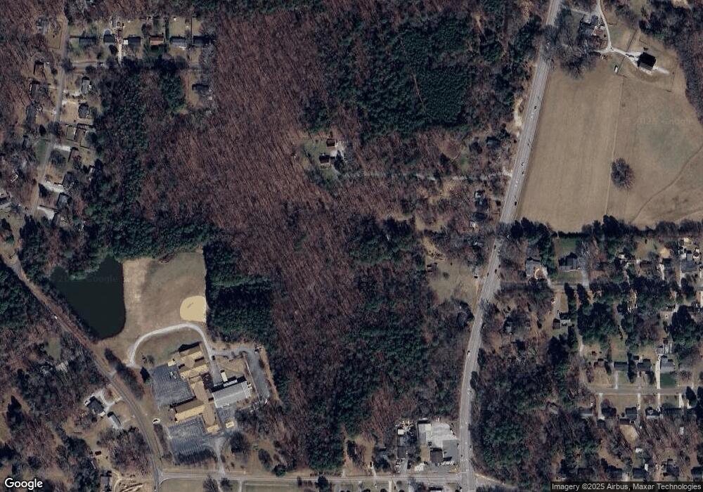
Map
Nearby Homes
- 145 Lin Tilley Rd
- 1121 Milton Rd
- 313 Andover Rd
- 310 Mickey Cir
- 829 Sandlewood Dr
- 206 Epperson Dr
- 5805 Prioress Dr
- 5809 Prioress Dr
- 5801 Prioress Dr
- 512 W Bywood Dr
- 600 Birchrun Dr
- 603 Snow Hill Rd
- 816 Running Cedar Trail
- 427 Vivaldi Dr
- 707 Donlee Dr
- 115 Macwood Dr
- 5620 Birch Dr
- 6517 Pondview Ln
- 726 Torredge Rd
- 202 Mason Rd
- 5843 N Roxboro Rd
- 5833 N Roxboro Rd
- 5901 N Roxboro Rd
- 5838 N Roxboro Rd
- 5834 N Roxboro Rd
- 5829 N Roxboro Rd
- 5825 N Roxboro St
- 5825 N Roxboro Rd
- 111 Sandlewood Dr
- 5824 N Roxboro Rd
- 5913 N Roxboro Rd
- 110 Sandlewood Dr
- 201 Sandlewood Dr
- 200 Sandlewood Dr
- 205 Sandlewood Dr
- 204 Sandlewood Dr
- 209 Sandlewood Dr
- 5811 N Roxboro Rd
- 5911 N Roxboro Rd
- 203 Galverston Dr
Your Personal Tour Guide
Ask me questions while you tour the home.