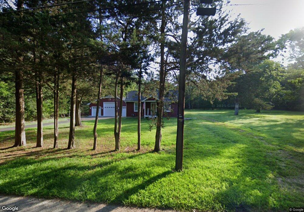
5839 Oak St Mays Landing, NJ 08330
Estimated Value: $292,397 - $371,000
--
Bed
--
Bath
786
Sq Ft
$423/Sq Ft
Est. Value
About This Home
This home is located at 5839 Oak St, Mays Landing, NJ 08330 and is currently estimated at $332,849, approximately $423 per square foot. 5839 Oak St is a home located in Atlantic County with nearby schools including Joseph Shaner School, George L. Hess Educational Complex, and William Davies Middle School.
Ownership History
Date
Name
Owned For
Owner Type
Purchase Details
Closed on
Jul 7, 2022
Sold by
Regal Geraldine Kelly
Bought by
Geraldine Kelly Regal Rev0cahle Trust and Regal
Current Estimated Value
Purchase Details
Closed on
Nov 30, 2013
Sold by
Leone Gregg A and Leone Geraldine
Bought by
Leone Geraldine and Regal Geraldine Kelly
Purchase Details
Closed on
Apr 25, 1997
Sold by
Mccullough Laura
Bought by
Leone Gregg A and Leone Geraldine
Purchase Details
Closed on
Jun 16, 1995
Sold by
Foy Leopold F
Bought by
Mccullough Laura
Create a Home Valuation Report for This Property
The Home Valuation Report is an in-depth analysis detailing your home's value as well as a comparison with similar homes in the area
Home Values in the Area
Average Home Value in this Area
Purchase History
| Date | Buyer | Sale Price | Title Company |
|---|---|---|---|
| Geraldine Kelly Regal Rev0cahle Trust | -- | None Listed On Document | |
| Leone Geraldine | -- | None Available | |
| Leone Gregg A | $85,000 | Congress Title Corp | |
| Mccullough Laura | $83,000 | Congress Title Corporation |
Source: Public Records
Tax History Compared to Growth
Tax History
| Year | Tax Paid | Tax Assessment Tax Assessment Total Assessment is a certain percentage of the fair market value that is determined by local assessors to be the total taxable value of land and additions on the property. | Land | Improvement |
|---|---|---|---|---|
| 2025 | $6,557 | $191,100 | $55,400 | $135,700 |
| 2024 | $6,557 | $191,100 | $55,400 | $135,700 |
| 2023 | $3,681 | $114,100 | $55,400 | $58,700 |
| 2022 | $3,681 | $114,100 | $55,400 | $58,700 |
| 2021 | $3,673 | $114,100 | $55,400 | $58,700 |
| 2020 | $3,673 | $114,100 | $55,400 | $58,700 |
| 2019 | $3,682 | $114,100 | $55,400 | $58,700 |
| 2018 | $3,553 | $114,100 | $55,400 | $58,700 |
| 2017 | $3,497 | $114,100 | $55,400 | $58,700 |
| 2016 | $3,399 | $114,100 | $55,400 | $58,700 |
| 2015 | $3,284 | $114,100 | $55,400 | $58,700 |
| 2014 | $3,357 | $127,800 | $64,300 | $63,500 |
Source: Public Records
Map
Nearby Homes