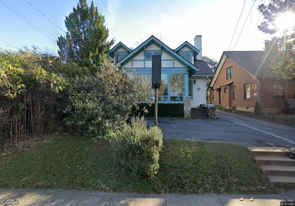
584 N Milledge Ave Athens, GA 30601
Cobbham NeighborhoodEstimated Value: $691,000 - $1,109,000
--
Bed
1
Bath
2,608
Sq Ft
$314/Sq Ft
Est. Value
About This Home
This home is located at 584 N Milledge Ave, Athens, GA 30601 and is currently estimated at $818,134, approximately $313 per square foot. 584 N Milledge Ave is a home located in Clarke County with nearby schools including Johnnie Lay Burks Elementary School, Clarke Middle School, and Clarke Central High School.
Ownership History
Date
Name
Owned For
Owner Type
Purchase Details
Closed on
Mar 29, 2024
Sold by
Dondero Timothy J
Bought by
Dondero Christina D and Dondero Timothy J
Current Estimated Value
Purchase Details
Closed on
Jun 10, 2016
Sold by
Dondero Timothy J
Bought by
Dondero Timothy J and Pearson Andrew L
Purchase Details
Closed on
Jan 3, 2005
Sold by
Beacham Dorothy J
Bought by
Dondero Timothy J and Dondero Christina D
Purchase Details
Closed on
Nov 16, 1994
Sold by
Beacham Walter B and Beacham Dorothy J
Bought by
Beacham Walter B and Beacham Dorothy J
Create a Home Valuation Report for This Property
The Home Valuation Report is an in-depth analysis detailing your home's value as well as a comparison with similar homes in the area
Home Values in the Area
Average Home Value in this Area
Purchase History
| Date | Buyer | Sale Price | Title Company |
|---|---|---|---|
| Dondero Christina D | -- | -- | |
| Dondero Timothy J | -- | -- | |
| Dondero Timothy J | -- | -- | |
| Dondero Timothy J | $279,000 | -- | |
| Beacham Walter B | -- | -- |
Source: Public Records
Tax History Compared to Growth
Tax History
| Year | Tax Paid | Tax Assessment Tax Assessment Total Assessment is a certain percentage of the fair market value that is determined by local assessors to be the total taxable value of land and additions on the property. | Land | Improvement |
|---|---|---|---|---|
| 2025 | $8,514 | $274,201 | $51,300 | $222,901 |
| 2024 | $8,514 | $251,360 | $51,300 | $200,060 |
| 2023 | $7,855 | $191,348 | $51,300 | $140,048 |
| 2022 | $4,179 | $131,014 | $43,700 | $87,314 |
| 2021 | $3,828 | $113,588 | $43,700 | $69,888 |
| 2020 | $3,595 | $106,681 | $43,700 | $62,981 |
| 2019 | $3,622 | $106,681 | $43,700 | $62,981 |
| 2018 | $3,622 | $106,681 | $43,700 | $62,981 |
| 2017 | $3,622 | $106,681 | $43,700 | $62,981 |
| 2016 | $3,622 | $106,681 | $43,700 | $62,981 |
| 2015 | $3,527 | $103,721 | $43,700 | $60,021 |
| 2014 | $3,478 | $102,150 | $43,700 | $58,450 |
Source: Public Records
Map
Nearby Homes
- 468 N Milledge Ave Unit 203
- 570 Prince Ave
- 257 Hill St
- 552 Cobb St
- 480 N Billups St
- 1196 W Hancock Ave Unit 1
- 1198 W West Hancock Ave W
- 195 Beulah Ave
- 1226 W Broad St
- 500 Dearing St Unit 6
- 100 Prince Ave Unit A404
- 100 Prince Ave Unit A407
- 559 Pulaski St
- 143 Barrow St
- 597 Dearing St
- 145 Hendrix Ave
- 283 King Ave
- 1398 W Hancock Ave
- 600 Pulaski St
- 270 Atlanta Ave
- 574 N Milledge Ave
- 590 N Milledge Ave
- 253 Cobb St
- 470 Hill St
- 270 Cobb St
- 587 N Milledge Ave
- 565 N Milledge Ave
- 597 N Harris St
- 595 N Milledge Ave
- 524 Hill St
- 436 Hill St
- 609 N Harris St
- 623 N Milledge Ave
- 357 Cobb St
- 735 Prince Ave
- 649 N Milledge Ave
- 635 N Milledge Ave
- 490 N Milledge Ave
- 725 Prince Ave
- 453 Hill St