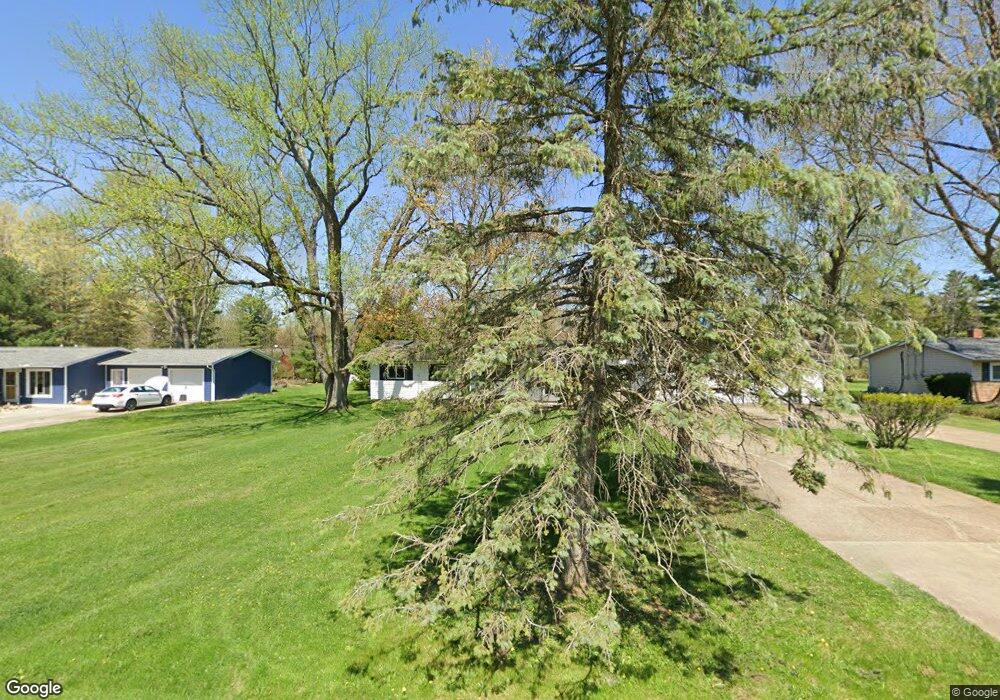
584 Sherwood Dr Aurora, OH 44202
Estimated Value: $261,000 - $299,090
3
Beds
2
Baths
1,680
Sq Ft
$167/Sq Ft
Est. Value
About This Home
This home is located at 584 Sherwood Dr, Aurora, OH 44202 and is currently estimated at $281,023, approximately $167 per square foot. 584 Sherwood Dr is a home located in Portage County with nearby schools including Miller Elementary School, Craddock/Miller Elementary School, and Leighton Elementary School.
Ownership History
Date
Name
Owned For
Owner Type
Purchase Details
Closed on
Aug 13, 1999
Sold by
Hickey Michael D and Edic Wendy M
Bought by
Senters Gentonda M
Current Estimated Value
Home Financials for this Owner
Home Financials are based on the most recent Mortgage that was taken out on this home.
Original Mortgage
$117,800
Outstanding Balance
$34,169
Interest Rate
7.77%
Estimated Equity
$246,854
Purchase Details
Closed on
May 30, 1995
Sold by
Dickerson Lessie R
Bought by
Edic Michael D Hickey and Edic Wendy M
Home Financials for this Owner
Home Financials are based on the most recent Mortgage that was taken out on this home.
Original Mortgage
$104,975
Interest Rate
8.4%
Mortgage Type
New Conventional
Create a Home Valuation Report for This Property
The Home Valuation Report is an in-depth analysis detailing your home's value as well as a comparison with similar homes in the area
Home Values in the Area
Average Home Value in this Area
Purchase History
| Date | Buyer | Sale Price | Title Company |
|---|---|---|---|
| Senters Gentonda M | $124,000 | Transcounty Title Agency Inc | |
| Edic Michael D Hickey | $110,500 | -- |
Source: Public Records
Mortgage History
| Date | Status | Borrower | Loan Amount |
|---|---|---|---|
| Open | Senters Gentonda M | $117,800 | |
| Previous Owner | Edic Michael D Hickey | $104,975 |
Source: Public Records
Tax History Compared to Growth
Tax History
| Year | Tax Paid | Tax Assessment Tax Assessment Total Assessment is a certain percentage of the fair market value that is determined by local assessors to be the total taxable value of land and additions on the property. | Land | Improvement |
|---|---|---|---|---|
| 2024 | $2,824 | $72,840 | $15,300 | $57,540 |
| 2023 | $3,218 | $67,660 | $15,300 | $52,360 |
| 2022 | $2,945 | $67,660 | $15,300 | $52,360 |
| 2021 | $2,952 | $67,660 | $15,300 | $52,360 |
| 2020 | $2,449 | $53,800 | $15,300 | $38,500 |
| 2019 | $2,453 | $53,800 | $15,300 | $38,500 |
| 2018 | $2,376 | $48,410 | $15,300 | $33,110 |
| 2017 | $2,376 | $48,410 | $15,300 | $33,110 |
| 2016 | $2,143 | $48,410 | $15,300 | $33,110 |
| 2015 | $2,188 | $48,410 | $15,300 | $33,110 |
| 2014 | $2,233 | $48,410 | $15,300 | $33,110 |
| 2013 | $2,219 | $48,410 | $15,300 | $33,110 |
Source: Public Records
Map
Nearby Homes
- 185 N Bissell Rd
- 794 Robinhood Dr
- 777 Nancy Dr
- 405 Club Dr W
- 436 Cochran Rd
- 316 High Bluff
- 676 Nancy Dr
- 915 Cimarron Oval
- 622 Club Dr W
- 640 Club Dr W
- 225 Linwood Ln
- 580 Hardwick Dr
- 752 Club Dr W
- 762 Club Dr W
- 905 Club Dr W
- S/L 3 Iris Place
- 180 Beaumont Trail
- 805 Club Dr W
- S/L 4 Trentstone Cir
- S/L 8 Trentstone Cir
- 594 Sherwood Dr
- 576 Sherwood Dr
- 610 Sherwood Dr
- 583 Robinhood Dr
- 575 Robinhood Dr
- 593 Robinhood Dr
- 593 Sherwood Dr
- 575 Sherwood Dr
- 565 Robinhood Dr
- 609 Robinhood Dr
- 554 Sherwood Dr
- 620 Sherwood Dr
- 565 Sherwood Dr
- 609 Sherwood Dr
- 553 Robinhood Dr
- 619 Robinhood Dr
- 553 Sherwood Dr
- 619 Sherwood Dr
- 544 Sherwood Dr
- 543 Robinhood Dr