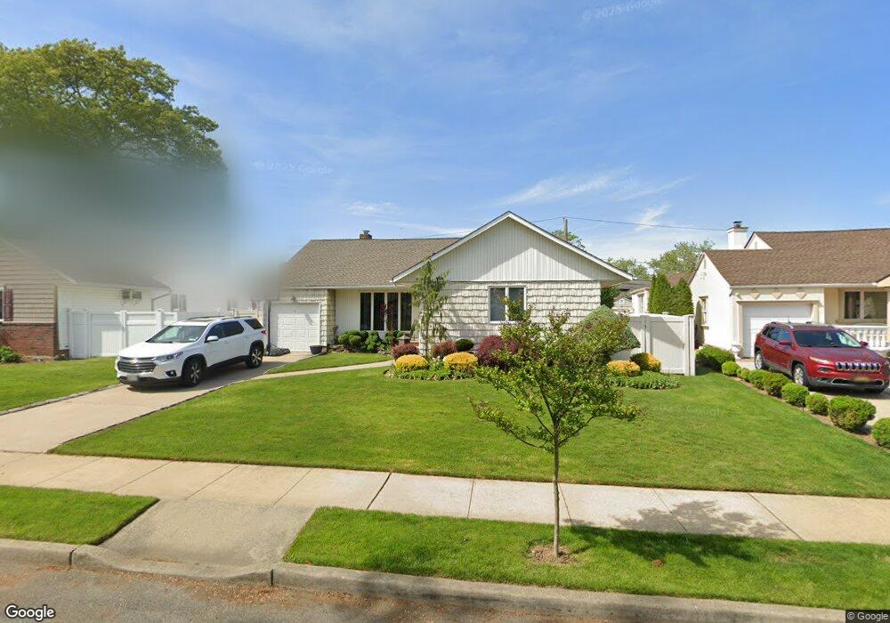
584 Theresa Ave West Hempstead, NY 11552
Estimated Value: $807,963 - $857,000
3
Beds
2
Baths
1,619
Sq Ft
$514/Sq Ft
Est. Value
About This Home
This home is located at 584 Theresa Ave, West Hempstead, NY 11552 and is currently estimated at $832,482, approximately $514 per square foot. 584 Theresa Ave is a home located in Nassau County with nearby schools including Hebrew Academy of Nassau County (HANC).
Ownership History
Date
Name
Owned For
Owner Type
Purchase Details
Closed on
Jul 21, 2016
Sold by
Fodrowski Frances M
Bought by
Distasio Anthony and Distasio Debra
Current Estimated Value
Home Financials for this Owner
Home Financials are based on the most recent Mortgage that was taken out on this home.
Original Mortgage
$434,981
Outstanding Balance
$347,022
Interest Rate
3.56%
Mortgage Type
FHA
Estimated Equity
$485,460
Purchase Details
Closed on
Mar 10, 2004
Sold by
Fodrowski Lawrence
Create a Home Valuation Report for This Property
The Home Valuation Report is an in-depth analysis detailing your home's value as well as a comparison with similar homes in the area
Home Values in the Area
Average Home Value in this Area
Purchase History
| Date | Buyer | Sale Price | Title Company |
|---|---|---|---|
| Distasio Anthony | $475,000 | None Available | |
| -- | -- | -- |
Source: Public Records
Mortgage History
| Date | Status | Borrower | Loan Amount |
|---|---|---|---|
| Open | Distasio Anthony | $434,981 |
Source: Public Records
Tax History Compared to Growth
Tax History
| Year | Tax Paid | Tax Assessment Tax Assessment Total Assessment is a certain percentage of the fair market value that is determined by local assessors to be the total taxable value of land and additions on the property. | Land | Improvement |
|---|---|---|---|---|
| 2025 | $10,487 | $485 | $256 | $229 |
| 2024 | $3,921 | $476 | $251 | $225 |
| 2023 | $9,367 | $500 | $264 | $236 |
| 2022 | $9,367 | $500 | $264 | $236 |
| 2021 | $11,049 | $500 | $226 | $274 |
| 2020 | $8,135 | $593 | $421 | $172 |
| 2019 | $9,269 | $593 | $421 | $172 |
| 2018 | $8,800 | $593 | $0 | $0 |
| 2017 | $3,007 | $630 | $398 | $232 |
| 2016 | $6,212 | $667 | $380 | $287 |
| 2015 | $3,346 | $704 | $401 | $303 |
| 2014 | $3,346 | $704 | $401 | $303 |
| 2013 | $3,283 | $739 | $421 | $318 |
Source: Public Records
Map
Nearby Homes
- 576 Western Park Dr
- 350 Paul Place
- 19 Richard St
- 279 Semton Blvd
- 757 Marion St
- 303 Nassau Blvd
- 231 Dogwood Ave
- 518 Nassau Blvd
- 249 Grange St
- 198 Guildford Ct
- 791 Caryl St
- 600 Dogwood Ave
- 613 Adams Ave
- 537 Madison Ave
- 590 Langley Ave
- 635 Hempstead Ave
- 582 Gaynor Place
- 594 Fenworth Blvd
- 708 Anderson Ave
- 474 Roy St
- 578 Theresa Ave
- 590 Theresa Ave
- 400 Paul Ct
- 401 Bruce Ct
- 572 Theresa Ave
- 579 Theresa Ave Unit 5
- 405 Paul Ct
- 428 Dunster Dr
- 405 Bruce Ct
- 566 Theresa Ave
- 601 Theresa Ave
- 396 Paul Ct
- 395 Bruce Ct
- 435 Dunster Dr Unit 4
- 567 Theresa Ave
- 401 Paul Ct Unit 4
- 438 Dunster Dr Unit 4
- 406 June Place
- 606 Theresa Ave
- 418 June Place