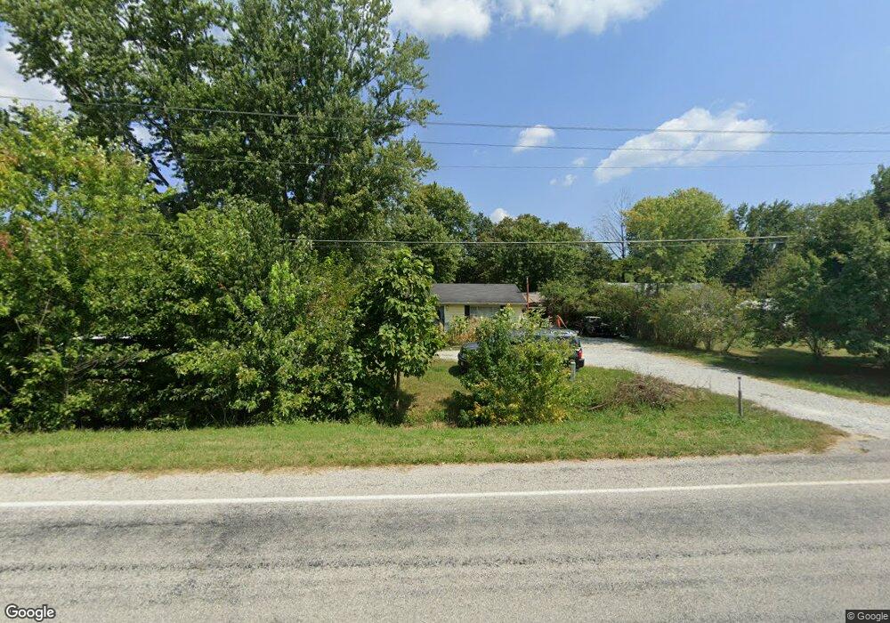
5843 S Us Highway 31 Underwood, IN 47177
Estimated Value: $96,770 - $258,000
3
Beds
1
Bath
1,000
Sq Ft
$185/Sq Ft
Est. Value
About This Home
This home is located at 5843 S Us Highway 31, Underwood, IN 47177 and is currently estimated at $184,943, approximately $184 per square foot. 5843 S Us Highway 31 is a home located in Scott County with nearby schools including Scottsburg Senior High School.
Ownership History
Date
Name
Owned For
Owner Type
Purchase Details
Closed on
Apr 14, 2020
Sold by
M & M Investment Group Llc
Bought by
Southern Home Properties Llc
Current Estimated Value
Home Financials for this Owner
Home Financials are based on the most recent Mortgage that was taken out on this home.
Original Mortgage
$40,281
Interest Rate
3.2%
Mortgage Type
Unknown
Purchase Details
Closed on
Jan 30, 2017
Sold by
Johnson Tammy Stout
Bought by
M & M Investment Group Llc
Create a Home Valuation Report for This Property
The Home Valuation Report is an in-depth analysis detailing your home's value as well as a comparison with similar homes in the area
Home Values in the Area
Average Home Value in this Area
Purchase History
| Date | Buyer | Sale Price | Title Company |
|---|---|---|---|
| Southern Home Properties Llc | -- | None Available | |
| M & M Investment Group Llc | $21,000 | None Available |
Source: Public Records
Mortgage History
| Date | Status | Borrower | Loan Amount |
|---|---|---|---|
| Closed | Southern Home Properties Llc | $40,281 |
Source: Public Records
Tax History Compared to Growth
Tax History
| Year | Tax Paid | Tax Assessment Tax Assessment Total Assessment is a certain percentage of the fair market value that is determined by local assessors to be the total taxable value of land and additions on the property. | Land | Improvement |
|---|---|---|---|---|
| 2024 | $730 | $37,800 | $7,000 | $30,800 |
| 2023 | $913 | $46,700 | $7,000 | $39,700 |
| 2022 | $851 | $45,300 | $7,000 | $38,300 |
| 2021 | $810 | $40,700 | $7,000 | $33,700 |
| 2020 | $786 | $40,700 | $7,000 | $33,700 |
| 2019 | $297 | $15,300 | $7,000 | $8,300 |
| 2018 | $298 | $15,200 | $6,200 | $9,000 |
| 2017 | $231 | $15,000 | $6,200 | $8,800 |
| 2016 | $976 | $55,000 | $6,200 | $48,800 |
| 2014 | $933 | $51,400 | $6,200 | $45,200 |
| 2013 | $933 | $50,500 | $6,200 | $44,300 |
Source: Public Records
Map
Nearby Homes
- 516 E County Line Rd
- 577 E Radio Tower Rd
- 1026 Beagle Club
- 2233 E Radio Tower Rd
- 10219 Brownstown Rd
- 10351 Brownstown Rd
- 9474 State Road 356
- 0 W Leota Rd
- 3961 S Ray Rd
- 0 Hebron Church Rd Unit 202540523
- 2672 S Lake Rd S
- 1538 E Ash Hollow Ln
- 2198 E State Road 356
- 4551 S Slate Ford Rd
- 1656 S Meranda Ln
- 510 Hazelwood Dr
- 418 Pine Drive Cir
- 1012 S Riley Dr
- 406 Crest Way
- Lot 4 E Lovers Ln
- 5857 S Us Highway 31
- 5906 S Us Highway 31
- 5858 S Us Highway 31
- 49 E Hardy Rd
- 5834 S Us Highway 31
- 5913 S Us Highway 31
- 96 E Hardy Rd
- 5927 S Us Highway 31
- 5957 S Us Highway 31
- 113 E Hardy Rd
- 127 E Hardy Rd
- 5800 S Us Highway 31
- 5991 S Us Highway 31
- 6472 S U S Highway 31
- 6386 S U S Highway 31
- 5997 S Us Highway 31
- 5997 S U S Highway 31
- 5998 S Us Highway 31
- 5681 S Us Highway 31
- 5742 S Us Highway 31
