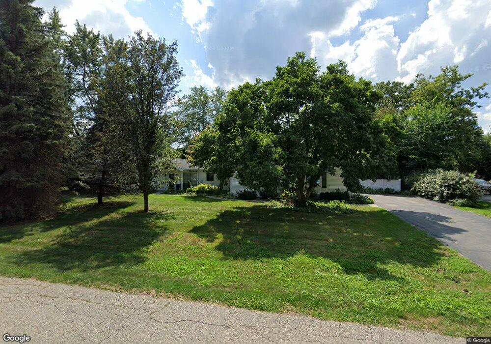
5848 Burnham Rd Bloomfield Hills, MI 48302
Estimated Value: $479,000 - $715,000
4
Beds
2
Baths
2,349
Sq Ft
$264/Sq Ft
Est. Value
About This Home
This home is located at 5848 Burnham Rd, Bloomfield Hills, MI 48302 and is currently estimated at $620,008, approximately $263 per square foot. 5848 Burnham Rd is a home located in Oakland County with nearby schools including Conant Elementary School, South Hills Middle School, and Bloomfield Hills High School.
Ownership History
Date
Name
Owned For
Owner Type
Purchase Details
Closed on
Jan 20, 2023
Sold by
Boff Mark P
Bought by
M Boff Properties Llc
Current Estimated Value
Purchase Details
Closed on
Aug 22, 2013
Sold by
L Boff Properties Llc and Boff Linda F
Bought by
Boff Mark P and Boff Linda F
Home Financials for this Owner
Home Financials are based on the most recent Mortgage that was taken out on this home.
Original Mortgage
$206,800
Interest Rate
4.33%
Mortgage Type
New Conventional
Purchase Details
Closed on
Apr 25, 2005
Sold by
The Mark P Boff Revocable Living Trust
Bought by
Boff Mark P and Boff Linda F
Purchase Details
Closed on
Sep 20, 2004
Sold by
Boff Mark P and Boff Linda F
Bought by
Mark P Boff Revocable Living Trust and Linda F Boff Revocable Living Trust
Create a Home Valuation Report for This Property
The Home Valuation Report is an in-depth analysis detailing your home's value as well as a comparison with similar homes in the area
Home Values in the Area
Average Home Value in this Area
Purchase History
| Date | Buyer | Sale Price | Title Company |
|---|---|---|---|
| M Boff Properties Llc | -- | -- | |
| Boff Mark P | -- | None Available | |
| Boff Mark P | -- | -- | |
| Mark P Boff Revocable Living Trust | -- | -- |
Source: Public Records
Mortgage History
| Date | Status | Borrower | Loan Amount |
|---|---|---|---|
| Previous Owner | Boff Mark P | $206,800 |
Source: Public Records
Tax History Compared to Growth
Tax History
| Year | Tax Paid | Tax Assessment Tax Assessment Total Assessment is a certain percentage of the fair market value that is determined by local assessors to be the total taxable value of land and additions on the property. | Land | Improvement |
|---|---|---|---|---|
| 2024 | $2,868 | $257,270 | $0 | $0 |
| 2023 | $2,735 | $219,240 | $0 | $0 |
| 2022 | $5,126 | $210,210 | $0 | $0 |
| 2021 | $4,991 | $194,070 | $0 | $0 |
| 2020 | $2,411 | $186,300 | $0 | $0 |
| 2019 | $4,685 | $181,820 | $0 | $0 |
| 2018 | $4,594 | $174,410 | $0 | $0 |
| 2017 | $3,575 | $169,540 | $0 | $0 |
| 2016 | $3,581 | $161,520 | $0 | $0 |
| 2015 | -- | $135,560 | $0 | $0 |
| 2014 | -- | $115,570 | $0 | $0 |
| 2011 | -- | $83,880 | $0 | $0 |
Source: Public Records
Map
Nearby Homes
- 5630 S Adams Way
- 5741 Snowshoe Cir
- 6360 Hills Dr
- 750 Trailwood Path Unit B
- 450 Billingsgate Ct Unit C
- 1760 Trailwood Path
- 5904 Wing Lake Rd
- 6450 Gilbert Lake Rd
- 5361 Echo Rd
- 5129 Woodlands Ln
- 5137 Woodlands Dr Unit 24
- 00 Telegraph Rd
- 0 Telegraph Rd
- 6660 Woodbank Dr
- 5080 Tootmoor Rd
- 6572 Spruce Dr
- 5100 Kings Gate Way
- 5008 Kings Gate Way
- 5825 Lahser Rd
- 3546 Bloomfield Club Dr
- 5880 Burnham Rd Unit Bldg-Unit
- 5880 Burnham Rd
- 5820 Burnham Rd
- 5861 Burnham Rd
- 5895 Burnham Rd
- 5833 Burnham Rd
- 5788 Burnham Rd
- 5791 Burnham Rd
- 5925 Burnham Rd
- 5764 Blandford Rd
- 5780 Blandford Rd
- 5940 Burnham Rd Unit Bldg-Unit
- 5940 Burnham Rd
- 5748 Blandford Rd
- 5762 Burnham Rd
- 5710 Whethersfield Ln
- 5882 Blandford Rd
- 5763 Burnham Rd
- 5732 Blandford Rd
- 5916 Blandford Rd