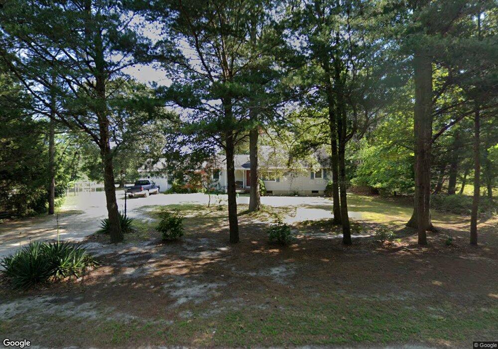
5849 Chestnut St Mays Landing, NJ 08330
Estimated Value: $281,679 - $320,000
--
Bed
--
Bath
1,412
Sq Ft
$213/Sq Ft
Est. Value
About This Home
This home is located at 5849 Chestnut St, Mays Landing, NJ 08330 and is currently estimated at $300,840, approximately $213 per square foot. 5849 Chestnut St is a home located in Atlantic County with nearby schools including Joseph Shaner School, George L. Hess Educational Complex, and William Davies Middle School.
Ownership History
Date
Name
Owned For
Owner Type
Purchase Details
Closed on
Dec 28, 1995
Sold by
Schoelkopf William J
Bought by
Schoelkopf William J and Schoelkopf Helen G
Current Estimated Value
Purchase Details
Closed on
Jun 26, 1991
Sold by
Stevens Ronald H
Bought by
Schoelkopf William J
Purchase Details
Closed on
Oct 31, 1989
Sold by
Guzman Emilio V and Guzman Maria T
Bought by
Stevns Ronld H
Create a Home Valuation Report for This Property
The Home Valuation Report is an in-depth analysis detailing your home's value as well as a comparison with similar homes in the area
Home Values in the Area
Average Home Value in this Area
Purchase History
| Date | Buyer | Sale Price | Title Company |
|---|---|---|---|
| Schoelkopf William J | -- | -- | |
| Schoelkopf William J | $59,000 | -- | |
| Stevns Ronld H | $45,000 | -- |
Source: Public Records
Tax History Compared to Growth
Tax History
| Year | Tax Paid | Tax Assessment Tax Assessment Total Assessment is a certain percentage of the fair market value that is determined by local assessors to be the total taxable value of land and additions on the property. | Land | Improvement |
|---|---|---|---|---|
| 2025 | $5,349 | $155,900 | $56,300 | $99,600 |
| 2024 | $5,349 | $155,900 | $56,300 | $99,600 |
| 2023 | $5,029 | $155,900 | $56,300 | $99,600 |
| 2022 | $5,029 | $155,900 | $56,300 | $99,600 |
| 2021 | $5,018 | $155,900 | $56,300 | $99,600 |
| 2020 | $5,018 | $155,900 | $56,300 | $99,600 |
| 2019 | $5,031 | $155,900 | $56,300 | $99,600 |
| 2018 | $4,855 | $155,900 | $56,300 | $99,600 |
| 2017 | $4,778 | $155,900 | $56,300 | $99,600 |
| 2016 | $4,644 | $155,900 | $56,300 | $99,600 |
| 2015 | $4,487 | $155,900 | $56,300 | $99,600 |
| 2014 | $4,529 | $172,400 | $65,400 | $107,000 |
Source: Public Records
Map
Nearby Homes
- 0 Dahlia St
- 617 S County Blvd
- 547 S Cincinnati Ave
- 1409 Fairmont St
- 1409 W Fairmont Ave
- 1321 W North St
- 00 Holly St
- 5777 Holly St
- 1412 W Cleveland Ave
- 5827 Holly St
- 3058 Chicago Ave
- 1525 W Aloe St
- 29 Liverpool Ave
- 5013 White Horse Pike
- 5630 Oslo Ave
- 31 London Ave
- 1500 White Horse Pike
- 115 Buffalo Ave
- 119 Buffalo Ave
- 134 Buffalo Ave
- 5829 Chestnut St
- 5808 Chestnut St
- 0 Chestnut St
- 5809 Chestnut St
- 5786 Chestnut St
- 3120 Cleveland Ave
- 5929 Chestnut St
- 5948 Chestnut St
- 3066 Route 50
- 711 S Boston Ave
- 711 S Boston Ave
- 710 S Cape May Ave
- 3215 Route 50
- 3135 Route 50
- 3209 Route 50
- 5949 Walnut St
- 3219 Route 50
- Block 881 - Lot 2 Route 50
- 734 S Philadelphia Ave
- 5908 Walnut St