585 Brinkburn Point Ave Las Vegas, NV 89178
Estimated Value: $341,000 - $384,703
3
Beds
2
Baths
1,484
Sq Ft
$248/Sq Ft
Est. Value
About This Home
This home is located at 585 Brinkburn Point Ave, Las Vegas, NV 89178 and is currently estimated at $368,676, approximately $248 per square foot. 585 Brinkburn Point Ave is a home located in Clark County with nearby schools including Robert L. Forbuss Elementary School, Wilbur & Theresa Faiss Middle School, and Sierra Vista High School.
Ownership History
Date
Name
Owned For
Owner Type
Purchase Details
Closed on
Aug 29, 2007
Sold by
Kb Home Nevada Inc
Bought by
Ramos Ramon J
Current Estimated Value
Home Financials for this Owner
Home Financials are based on the most recent Mortgage that was taken out on this home.
Original Mortgage
$192,840
Outstanding Balance
$126,278
Interest Rate
7.25%
Mortgage Type
New Conventional
Estimated Equity
$242,398
Create a Home Valuation Report for This Property
The Home Valuation Report is an in-depth analysis detailing your home's value as well as a comparison with similar homes in the area
Home Values in the Area
Average Home Value in this Area
Purchase History
| Date | Buyer | Sale Price | Title Company |
|---|---|---|---|
| Ramos Ramon J | $202,990 | First Amer Title Co Of Nv |
Source: Public Records
Mortgage History
| Date | Status | Borrower | Loan Amount |
|---|---|---|---|
| Open | Ramos Ramon J | $192,840 |
Source: Public Records
Tax History Compared to Growth
Tax History
| Year | Tax Paid | Tax Assessment Tax Assessment Total Assessment is a certain percentage of the fair market value that is determined by local assessors to be the total taxable value of land and additions on the property. | Land | Improvement |
|---|---|---|---|---|
| 2025 | $1,640 | $94,723 | $31,500 | $63,223 |
| 2024 | $1,519 | $94,723 | $31,500 | $63,223 |
| 2023 | $1,011 | $87,378 | $28,000 | $59,378 |
| 2022 | $1,407 | $76,913 | $22,750 | $54,163 |
| 2021 | $1,492 | $74,178 | $22,750 | $51,428 |
| 2020 | $1,207 | $72,272 | $21,350 | $50,922 |
| 2019 | $1,131 | $68,164 | $18,200 | $49,964 |
| 2018 | $1,079 | $62,080 | $14,350 | $47,730 |
| 2017 | $1,773 | $60,456 | $12,250 | $48,206 |
| 2016 | $1,011 | $51,640 | $9,450 | $42,190 |
| 2015 | $1,008 | $42,173 | $7,350 | $34,823 |
| 2014 | $977 | $32,319 | $5,250 | $27,069 |
Source: Public Records
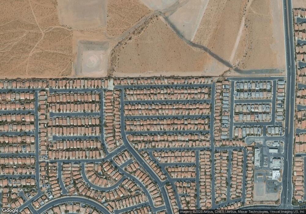
Map
Nearby Homes
- 573 Shewsbury Ave
- 445 Royal Bridge Dr
- 661 Newquay Ct
- 452 Swiss Cottage Ave
- 722 Chepstow Ave
- 552 Brompton St
- 719 Quayside Ct
- 523 Cabis Bay St
- 492 Merseyside Dr
- 582 Brompton St
- 533 Warminster Ave
- 705 Shirehampton Dr
- 791 Trumpington Ct
- 389 Fringe Ruff Dr
- 728 Jewel Tower St
- 741 Canary Wharf Dr
- 736 Saint Keyne St
- 356 Pearl Fountains Ct
- 772 Loughton St
- 763 Magrath St
- 581 Brinkburn Point Ave
- 584 Primrose Hill Ave
- 577 Brinkburn Point Ave
- 593 Brinkburn Point Ave
- 588 Primrose Hill Ave
- 580 Primrose Hill Ave
- 576 Primrose Hill Ave
- 592 Primrose Hill Ave
- 586 Brinkburn Point Ave
- 582 Brinkburn Point Ave
- 573 Brinkburn Point Ave
- 597 Brinkburn Point Ave
- 590 Brinkburn Point Ave
- 590 Brinkburn Point Ave
- 590 Brinkburn Point Ave
- 590 Brinkburn Point Ave
- 578 Brinkburn Point Ave
- 572 Primrose Hill Ave
- 594 Brinkburn Point Ave