585 E Canyon Rd Ephraim, UT 84627
Estimated Value: $545,000 - $759,000
8
Beds
4
Baths
5,327
Sq Ft
$127/Sq Ft
Est. Value
About This Home
This home is located at 585 E Canyon Rd, Ephraim, UT 84627 and is currently estimated at $679,134, approximately $127 per square foot. 585 E Canyon Rd is a home located in Sanpete County.
Ownership History
Date
Name
Owned For
Owner Type
Purchase Details
Closed on
Apr 12, 2019
Sold by
Lynn Mcafee
Bought by
Mcaffee Richard L
Current Estimated Value
Home Financials for this Owner
Home Financials are based on the most recent Mortgage that was taken out on this home.
Original Mortgage
$296,000
Outstanding Balance
$259,176
Interest Rate
4.4%
Mortgage Type
New Conventional
Estimated Equity
$419,958
Purchase Details
Closed on
Mar 9, 2015
Bought by
Cozzolino Joseph
Purchase Details
Closed on
Jun 15, 2007
Sold by
Cozzolino Joseph J
Bought by
Jo Jo Asset Management Llc
Create a Home Valuation Report for This Property
The Home Valuation Report is an in-depth analysis detailing your home's value as well as a comparison with similar homes in the area
Home Values in the Area
Average Home Value in this Area
Purchase History
| Date | Buyer | Sale Price | Title Company |
|---|---|---|---|
| Mcaffee Richard L | -- | Central Utah Title | |
| Cozzolino Joseph | -- | Vantage Point Title Inc | |
| Jo Jo Asset Management Llc | -- | -- |
Source: Public Records
Mortgage History
| Date | Status | Borrower | Loan Amount |
|---|---|---|---|
| Open | Mcaffee Richard L | $296,000 |
Source: Public Records
Tax History
| Year | Tax Paid | Tax Assessment Tax Assessment Total Assessment is a certain percentage of the fair market value that is determined by local assessors to be the total taxable value of land and additions on the property. | Land | Improvement |
|---|---|---|---|---|
| 2025 | $4,257 | $412,464 | $0 | $0 |
| 2024 | $4,132 | $380,436 | $0 | $0 |
| 2023 | $4,076 | $357,217 | $0 | $0 |
| 2022 | $4,021 | $321,069 | $0 | $0 |
| 2021 | $4,014 | $277,012 | $0 | $0 |
| 2020 | $3,785 | $245,930 | $0 | $0 |
| 2019 | $3,607 | $230,620 | $0 | $0 |
| 2018 | $3,256 | $306,443 | $116,741 | $189,702 |
| 2017 | $3,102 | $199,998 | $0 | $0 |
| 2016 | $2,889 | $186,310 | $0 | $0 |
| 2015 | $2,903 | $186,310 | $0 | $0 |
| 2014 | $2,856 | $186,310 | $0 | $0 |
| 2013 | $2,843 | $186,310 | $0 | $0 |
Source: Public Records
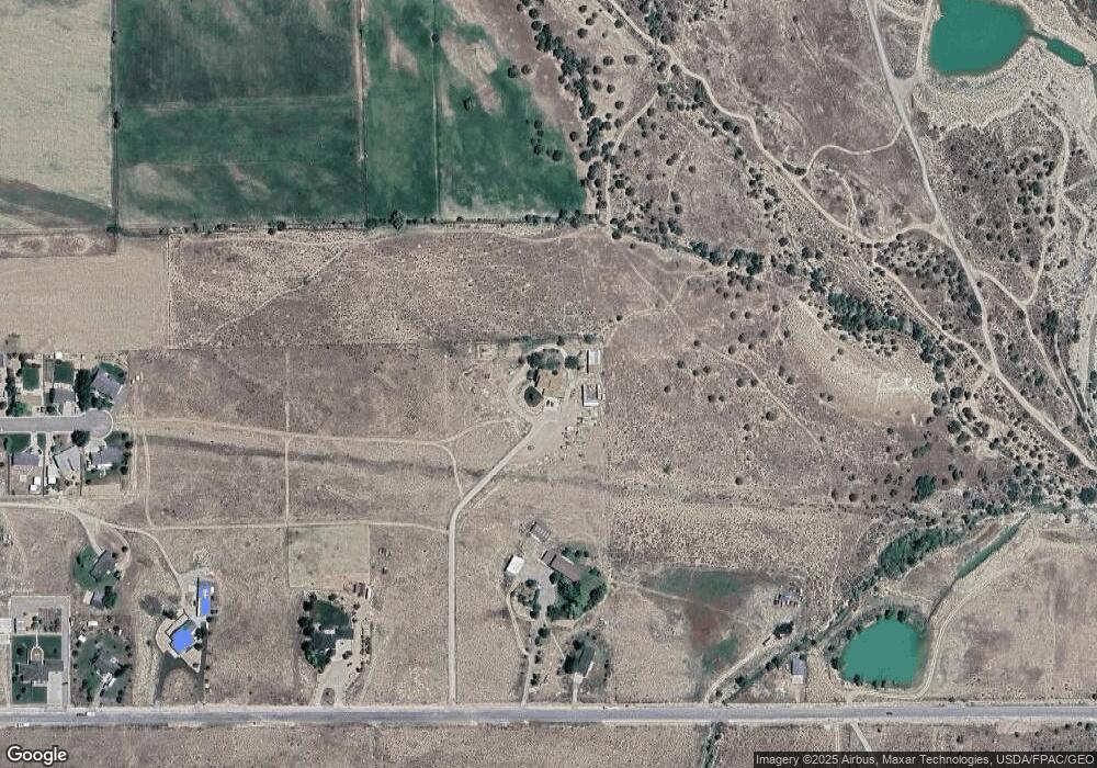
Map
Nearby Homes