585 Ramsfield Rd Bigfork, MT 59911
Estimated Value: $857,000 - $2,646,425
About This Home
This home is located at 585 Ramsfield Rd, Bigfork, MT 59911 and is currently estimated at $1,788,356, approximately $1,490 per square foot. 585 Ramsfield Rd is a home located in Flathead County with nearby schools including Bigfork Elementary School, Bigfork Middle School, and Bigfork High School.
Ownership History
We collect this data history from publicly available records. To have your information removed, we recommend requesting removal directly through your county’s website.
Purchase Details
Home Financials for this Owner
Home Financials are based on the most recent Mortgage that was taken out on this home.Home Values in the Area
Average Home Value in this Area
Purchase History
We collect this data history from publicly available records. To have your information removed, we recommend requesting removal directly through your county’s website.
| Date | Buyer | Sale Price | Title Company |
|---|---|---|---|
| -- | Fidelity National Title |
Mortgage History
We collect this data history from publicly available records. To have your information removed, we recommend requesting removal directly through your county’s website.
| Date | Status | Borrower | Loan Amount |
|---|---|---|---|
| Open | $1,680,000 |
Tax History
We collect this data history from publicly available records. To have your information removed, we recommend requesting removal directly through your county’s website.
| Year | Tax Paid | Tax Assessment Tax Assessment Total Assessment is a certain percentage of the fair market value that is determined by local assessors to be the total taxable value of land and additions on the property. | Land | Improvement |
|---|---|---|---|---|
| 2025 | $3,775 | $1,042,500 | $0 | $0 |
| 2024 | $3,715 | $737,400 | $0 | $0 |
| 2023 | $3,846 | $737,400 | $0 | $0 |
| 2022 | $3,186 | $476,770 | $0 | $0 |
| 2021 | $2,570 | $350,690 | $0 | $0 |
| 2020 | $2,427 | $305,200 | $0 | $0 |
| 2019 | $2,335 | $305,200 | $0 | $0 |
| 2018 | $2,345 | $289,400 | $0 | $0 |
| 2017 | $2,260 | $289,400 | $0 | $0 |
| 2016 | $2,587 | $338,000 | $0 | $0 |
| 2015 | $2,008 | $338,000 | $0 | $0 |
| 2014 | $1,915 | $183,075 | $0 | $0 |
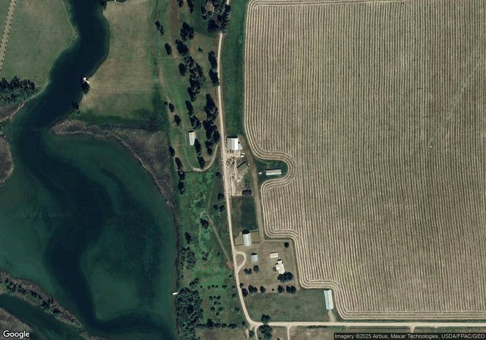
Map
- 200 Sportsman Ln
- 1262 Riverside Rd
- 338 Hanging Rock Dr
- 322 Hanging Rock Dr
- 306 Parker Lakes Rd
- 1454 Ponderosa Ridge Dr
- 37 Red Tail Ridge
- 1358 Ponderosa Ridge Dr
- Nhn Holt Dr
- 145 Fox Run Ct
- 153 Fox Run Ct
- 181 Fox Run Ct
- 161 Fox Run Ct
- 344 Chapman Ln
- 48 Eagle Rock Dr
- 29 Bearpaw Loop
- 351 Chapman Ln
- 225 Siderius Ln
- 205 Siderius Ln
- 116 Golden Bear Dr
- 585 Ramsfield Rd
- 585 Ramsfield Rd Unit & 700
- 564 Ramsfield Rd
- 450 Ramsfield Rd
- 460 Ramsfield Rd
- 700 Ramsfield Rd
- 700 Ramsfield Rd
- 620 Ramsfield Rd
- 380 Ramsfield Rd
- 290 Ramsfield Rd
- 285 Ramsfield Rd
- 845 N Ramsfield Rd
- 840 N Ramsfield Rd
- 134 Vista Dr
- TBD Ramsfield
- 850 N Ramsfield Rd
- 120 Vista Dr
- 111 Ramsfield Rd
- 2645 Mt Highway 82
- 105 Ramsfield Rd
Ask me questions while you tour the home.