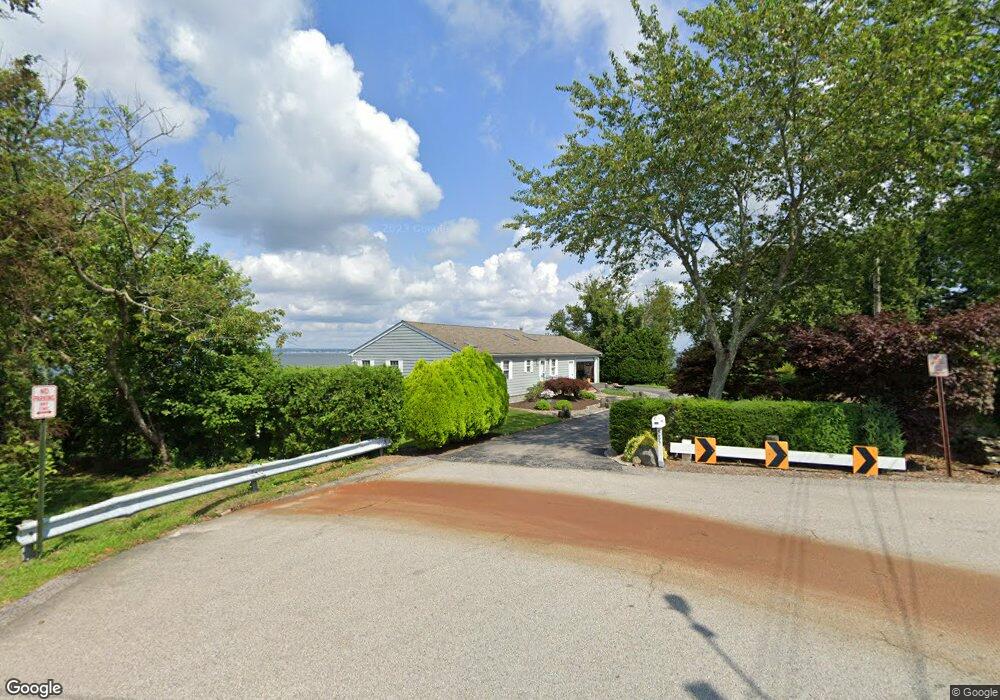
585 Seaside Dr Jamestown, RI 02835
West Reach Estates NeighborhoodEstimated Value: $1,279,000 - $3,082,000
3
Beds
4
Baths
1,440
Sq Ft
$1,419/Sq Ft
Est. Value
About This Home
This home is located at 585 Seaside Dr, Jamestown, RI 02835 and is currently estimated at $2,043,690, approximately $1,419 per square foot. 585 Seaside Dr is a home located in Newport County with nearby schools including Melrose Avenue School and Lawn Avenue School.
Create a Home Valuation Report for This Property
The Home Valuation Report is an in-depth analysis detailing your home's value as well as a comparison with similar homes in the area
Home Values in the Area
Average Home Value in this Area
Tax History Compared to Growth
Tax History
| Year | Tax Paid | Tax Assessment Tax Assessment Total Assessment is a certain percentage of the fair market value that is determined by local assessors to be the total taxable value of land and additions on the property. | Land | Improvement |
|---|---|---|---|---|
| 2025 | $10,166 | $1,802,400 | $1,292,500 | $509,900 |
| 2024 | $9,984 | $1,392,500 | $979,200 | $413,300 |
| 2023 | $9,821 | $1,407,000 | $979,200 | $427,800 |
| 2022 | $9,554 | $1,407,000 | $979,200 | $427,800 |
| 2021 | $9,357 | $1,127,700 | $897,600 | $230,100 |
| 2020 | $9,101 | $1,127,700 | $897,600 | $230,100 |
| 2019 | $9,078 | $1,127,700 | $897,600 | $230,100 |
| 2018 | $9,202 | $1,039,800 | $815,900 | $223,900 |
| 2017 | $9,005 | $1,039,800 | $815,900 | $223,900 |
| 2016 | $8,921 | $1,039,800 | $815,900 | $223,900 |
| 2015 | $9,991 | $1,137,900 | $953,900 | $184,000 |
| 2014 | $9,957 | $1,137,900 | $953,900 | $184,000 |
Source: Public Records
Map
Nearby Homes
- 398 Sampan Ave
- 280 W Reach Dr
- 86 Spanker St
- 31 Stanchion St
- 58 Dolphin St
- 10 Columbia Ln
- 174 Seaside Dr
- 94 Spindrift St
- 121 Seaside Dr
- 625 N Main Rd
- 18 Collins Terrace
- 50 Prospect Ave
- 21 Helm St
- 0 Circuit Ave
- 12 Easterly Way
- 27 Marcello Dr
- 10 Coulter St
- 10 Highland Rd
- 40 Web Ave Unit 221
- 73 Oceanwoods Dr