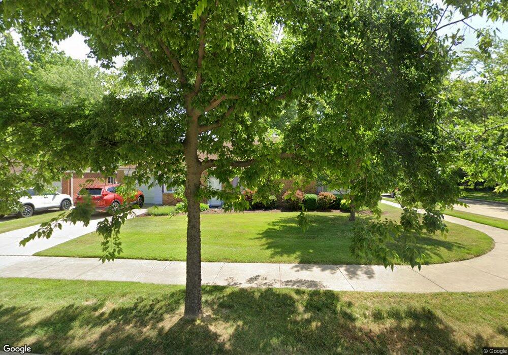
585 Walnut Dr Euclid, OH 44132
Estimated Value: $160,439 - $181,000
3
Beds
2
Baths
1,401
Sq Ft
$124/Sq Ft
Est. Value
About This Home
This home is located at 585 Walnut Dr, Euclid, OH 44132 and is currently estimated at $174,360, approximately $124 per square foot. 585 Walnut Dr is a home located in Cuyahoga County with nearby schools including Shoreview Elementary School, Euclid High School, and Mater Dei Academy.
Ownership History
Date
Name
Owned For
Owner Type
Purchase Details
Closed on
May 30, 1995
Sold by
Simmons Dennis D
Bought by
Mathews Anna M
Current Estimated Value
Home Financials for this Owner
Home Financials are based on the most recent Mortgage that was taken out on this home.
Original Mortgage
$57,000
Interest Rate
8.4%
Mortgage Type
New Conventional
Purchase Details
Closed on
Jan 21, 1987
Sold by
Mathews Anna M
Bought by
Simmons Dennis D
Purchase Details
Closed on
Jan 20, 1987
Sold by
Cook Eleanor F
Bought by
Mathews Anna M
Purchase Details
Closed on
Dec 13, 1982
Sold by
Barbara E Kramer
Bought by
Cook Eleanor F
Purchase Details
Closed on
Aug 12, 1982
Sold by
Robertson Ruth P
Bought by
Barbara E Kramer
Purchase Details
Closed on
Dec 21, 1977
Sold by
Ellis Sidney M
Bought by
Robertson Ruth P
Purchase Details
Closed on
Jan 1, 1975
Bought by
Ellis Sidney M
Create a Home Valuation Report for This Property
The Home Valuation Report is an in-depth analysis detailing your home's value as well as a comparison with similar homes in the area
Home Values in the Area
Average Home Value in this Area
Purchase History
| Date | Buyer | Sale Price | Title Company |
|---|---|---|---|
| Mathews Anna M | $41,000 | -- | |
| Simmons Dennis D | -- | -- | |
| Mathews Anna M | $48,500 | -- | |
| Cook Eleanor F | $49,500 | -- | |
| Barbara E Kramer | $7,800 | -- | |
| Robertson Ruth P | -- | -- | |
| Ellis Sidney M | -- | -- |
Source: Public Records
Mortgage History
| Date | Status | Borrower | Loan Amount |
|---|---|---|---|
| Previous Owner | Mathews Anna M | $57,000 |
Source: Public Records
Tax History
| Year | Tax Paid | Tax Assessment Tax Assessment Total Assessment is a certain percentage of the fair market value that is determined by local assessors to be the total taxable value of land and additions on the property. | Land | Improvement |
|---|---|---|---|---|
| 2025 | $2,824 | $53,200 | $10,045 | $43,155 |
| 2024 | $2,937 | $53,200 | $10,045 | $43,155 |
| 2023 | $2,553 | $39,210 | $8,860 | $30,350 |
| 2022 | $2,527 | $39,200 | $8,860 | $30,350 |
| 2021 | $2,813 | $39,200 | $8,860 | $30,350 |
| 2020 | $2,149 | $29,720 | $6,720 | $23,000 |
| 2019 | $1,948 | $84,900 | $19,200 | $65,700 |
| 2018 | $2,349 | $29,720 | $6,720 | $23,000 |
| 2017 | $2,864 | $25,900 | $5,390 | $20,510 |
| 2016 | $2,919 | $25,900 | $5,390 | $20,510 |
| 2015 | $2,657 | $25,900 | $5,390 | $20,510 |
| 2014 | $2,657 | $25,900 | $5,390 | $20,510 |
Source: Public Records
Map
Nearby Homes
- 597 Hemlock Dr
- 29136 Norman Ave
- 670 Hemlock Dr
- 27190 Zeman Ave
- 953 Bryn Mawr Ave
- 730 Hemlock Dr
- 625 Lloyd Rd
- 754 Hemlock Dr
- 440 E 271st St
- 427 E 275th St
- 26831 Shoreview Ave
- 411 E 270th St
- 406 E 274th St
- 610 E 266th St
- 26530 Shoreview Ave
- 29616 Grand Blvd
- 940 Talmadge Ave
- 29690 Franklin Ave
- 26171 Shoreview Ave
- 298 E 270th St
- 579 Walnut Dr
- 29021 Fuller Ave
- 597 Walnut Dr
- 575 Walnut Dr
- 29029 Fuller Ave
- 586 Walnut Dr
- 29020 Fuller Ave
- 29016 Fuller Ave
- 590 Walnut Dr
- 29033 Fuller Ave
- 29024 Fuller Ave
- 603 Walnut Dr
- 569 Walnut Dr
- 576 Walnut Dr
- 29028 Fuller Ave
- 596 Walnut Dr
- 29037 Fuller Ave
- 29030 Fuller Ave
- 570 Walnut Dr
- 29041 Fuller Ave
Your Personal Tour Guide
Ask me questions while you tour the home.