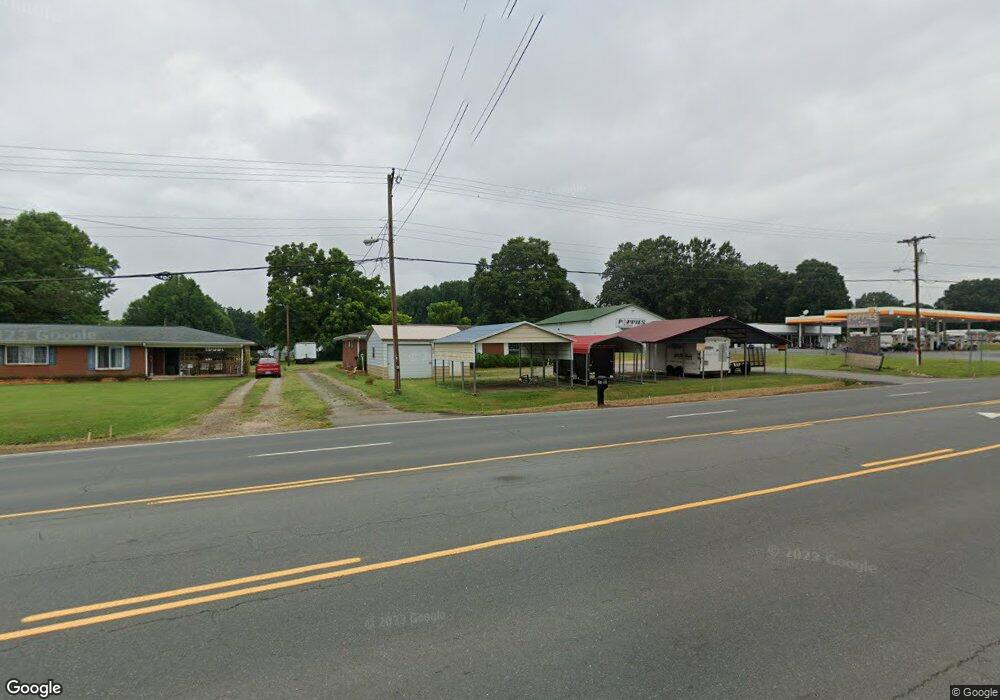
5850 S Main St Salisbury, NC 28147
Estimated Value: $238,000 - $316,000
--
Bed
2
Baths
1,988
Sq Ft
$143/Sq Ft
Est. Value
About This Home
This home is located at 5850 S Main St, Salisbury, NC 28147 and is currently estimated at $284,378, approximately $143 per square foot. 5850 S Main St is a home located in Rowan County with nearby schools including Knollwood Elementary School, Southeast Middle School, and Jesse C Carson High School.
Ownership History
Date
Name
Owned For
Owner Type
Purchase Details
Closed on
Dec 23, 2019
Sold by
Mike Reid Enterprises Inc
Bought by
Bcp Ventures Llc
Current Estimated Value
Home Financials for this Owner
Home Financials are based on the most recent Mortgage that was taken out on this home.
Original Mortgage
$360,750
Outstanding Balance
$318,053
Interest Rate
3.6%
Mortgage Type
Future Advance Clause Open End Mortgage
Estimated Equity
-$33,675
Purchase Details
Closed on
Dec 15, 2006
Sold by
Hillard Benny R
Bought by
Mike Reid Enterprises Inc
Create a Home Valuation Report for This Property
The Home Valuation Report is an in-depth analysis detailing your home's value as well as a comparison with similar homes in the area
Home Values in the Area
Average Home Value in this Area
Purchase History
| Date | Buyer | Sale Price | Title Company |
|---|---|---|---|
| Bcp Ventures Llc | $310,000 | None Available | |
| Mike Reid Enterprises Inc | $110,000 | None Available |
Source: Public Records
Mortgage History
| Date | Status | Borrower | Loan Amount |
|---|---|---|---|
| Open | Bcp Ventures Llc | $360,750 |
Source: Public Records
Tax History Compared to Growth
Tax History
| Year | Tax Paid | Tax Assessment Tax Assessment Total Assessment is a certain percentage of the fair market value that is determined by local assessors to be the total taxable value of land and additions on the property. | Land | Improvement |
|---|---|---|---|---|
| 2025 | $1,722 | $257,045 | $74,072 | $182,973 |
| 2024 | $1,722 | $257,045 | $74,072 | $182,973 |
| 2023 | $1,722 | $257,045 | $74,072 | $182,973 |
| 2022 | $1,273 | $170,305 | $70,812 | $99,493 |
| 2021 | $1,264 | $170,305 | $70,812 | $99,493 |
| 2020 | $1,264 | $170,305 | $70,812 | $99,493 |
| 2019 | $1,264 | $170,305 | $70,812 | $99,493 |
| 2018 | $1,140 | $154,981 | $74,071 | $80,910 |
| 2017 | $1,140 | $154,981 | $74,071 | $80,910 |
| 2016 | $1,140 | $154,981 | $74,071 | $80,910 |
| 2015 | $1,158 | $154,981 | $74,071 | $80,910 |
| 2014 | $760 | $106,717 | $21,899 | $84,818 |
Source: Public Records
Map
Nearby Homes
- 0 Swink Ave
- 6000 S Main St
- 355 Swink Ave
- 6115 Southern Ln
- 6255 Meadow Ln
- 179 Spring Oak Dr
- 00 Neelytown Rd
- 0 Brookfield Cir Unit CAR4292885
- 0 Ed Weavers Rd
- 1352 Eva Ln
- 1675 N Main St
- 1140 Peeler Rd
- 400 Black Bear St Unit 154p
- TA3000 Plan at Kensington
- Hudson Plan at Kensington
- Devin Plan at Kensington
- Bayside Plan at Kensington
- TA4000 Plan at Kensington
- Kipling Plan at Kensington
- Declan Plan at Kensington
- 5800 S Main St
- 5830 S Main St
- 5865 Bertie Ave
- 5910 S Main St
- 5855 Bertie Ave
- 5865 S Main St
- 5835 Bertie Ave
- 5815 S Main St
- 125 Roseman Rd
- 5860 Bertie Ave Unit H
- 115 Karri Ln
- 5850 Bertie Ave
- 125 Karri Ln Unit H
- 57 Bertie Ave
- 225 Roseman Rd
- 5930 S Main St
- 5755 Bertie Ave
- 5770 Bertie Ave
- 31 Roseman Rd
- 235 Roseman Rd