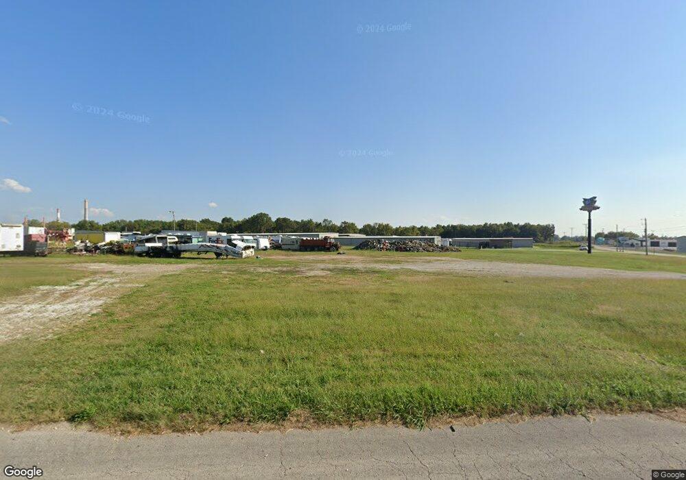
5850 W Us Hwy 60 Brookline, MO 65619
Southwest Springfield Neighborhood
--
Bed
--
Bath
3,924
Sq Ft
2.8
Acres
About This Home
This home is located at 5850 W Us Hwy 60, Brookline, MO 65619. 5850 W Us Hwy 60 is a home located in Greene County with nearby schools including Price Elementary School, Republic Middle School, and Republic High School.
Ownership History
Date
Name
Owned For
Owner Type
Purchase Details
Closed on
Feb 21, 2023
Sold by
417 Rentals Llc
Bought by
Clydesdale Farm Llc
Purchase Details
Closed on
Oct 5, 2022
Sold by
Mccaskill Laura Wilson
Bought by
Wilson Trust
Purchase Details
Closed on
Aug 21, 2017
Sold by
Clydesdale Farm Llc
Bought by
Carson Richard L and Richard L Carson Revocable Trust
Purchase Details
Closed on
Oct 3, 2013
Sold by
Wilson Wilma Gaylene
Bought by
Gatley Chris
Purchase Details
Closed on
Dec 30, 2011
Sold by
Brooks Jerry R and Brooks Sherry L
Bought by
Wilson Wilma Gaylene and Wilma Gaylene Wilson Revocable Trust
Create a Home Valuation Report for This Property
The Home Valuation Report is an in-depth analysis detailing your home's value as well as a comparison with similar homes in the area
Home Values in the Area
Average Home Value in this Area
Purchase History
| Date | Buyer | Sale Price | Title Company |
|---|---|---|---|
| Clydesdale Farm Llc | -- | -- | |
| Wilson Trust | -- | -- | |
| Mccaskill Laura Wilson | -- | -- | |
| Carson Richard L | -- | None Available | |
| Gatley Chris | -- | Lincoln Land Title | |
| Wilson Wilma Gaylene | -- | Lincoln Land Title |
Source: Public Records
Tax History Compared to Growth
Tax History
| Year | Tax Paid | Tax Assessment Tax Assessment Total Assessment is a certain percentage of the fair market value that is determined by local assessors to be the total taxable value of land and additions on the property. | Land | Improvement |
|---|---|---|---|---|
| 2025 | $2,567 | $49,150 | $49,150 | $0 |
| 2024 | $2,567 | $38,140 | $38,140 | $0 |
| 2023 | $2,524 | $38,140 | $38,140 | $0 |
| 2022 | $2,544 | $38,140 | $38,140 | $0 |
| 2021 | $2,544 | $38,140 | $38,140 | $0 |
| 2020 | $2,385 | $38,140 | $38,140 | $0 |
| 2019 | $2,378 | $38,140 | $38,140 | $0 |
| 2018 | $2,439 | $38,140 | $38,140 | $0 |
| 2017 | $3,243 | $52,790 | $38,140 | $14,650 |
| 2016 | $3,261 | $52,790 | $38,140 | $14,650 |
| 2015 | $3,259 | $52,790 | $38,140 | $14,650 |
| 2014 | $3,325 | $53,280 | $38,140 | $15,140 |
Source: Public Records
Map
Nearby Homes
- 4041 S Farm Road 107
- 4085 E Ashwood Ct
- 4082 E Ashwood Ct
- 4093 E Ashwood St
- 1755 N Boxwood Dr
- 4058 E Ashwood Ct
- 4090 E Ashwood Ct
- 4098 E Ashwood Ct
- 4074 E Ashwood Ct
- 3920 E Linden Ln
- The Charleston Plan at Wilson's Valley
- The Mesa W/Basement Plan at Wilson's Valley
- The Manhattan Plan at Wilson's Valley
- The Savannah Plan at Wilson's Valley
- The Aspen W/Basement Plan at Wilson's Valley
- The Dayton Plan at Wilson's Valley
- The Charleston W/Basement Plan at Wilson's Valley
- The Mesa Plan at Wilson's Valley
- The Tampa Plan at Wilson's Valley
- The Edgewood Plan at Wilson's Valley
- 5850 W Hwy 60
- 5850 U S 60 Unit B
- 5850 U S 60
- 5850 U S 60 Unit G
- 5850 U S 60 Unit D
- 5850 U S 60 Unit E
- 5850 U S 60 Unit F
- 5850 U S 60 Unit A
- 5850 U S 60 Unit H
- 5850 U S 60 Unit C
- 5850 U S 60 Unit 1
- 5840 U S 60
- 3276 S Farm Road 107
- Tract 2 Us-60
- 5800 U S 60
- 5759 W Us Highway 60
- 5759 U S 60
- 00 Farm Road 107
- 6021 W Us Highway 60
- 6021 W Us Highway 60