Estimated Value: $307,000 - $500,000
4
Beds
4
Baths
3,360
Sq Ft
$124/Sq Ft
Est. Value
About This Home
This home is located at 58505 E 100 Rd, Miami, OK 74354 and is currently estimated at $416,974, approximately $124 per square foot. 58505 E 100 Rd is a home located in Ottawa County with nearby schools including Miami High School.
Ownership History
Date
Name
Owned For
Owner Type
Purchase Details
Closed on
Nov 18, 2015
Sold by
Souder Mary Fern Vanpool and Knapp Virginia L Vanpool
Bought by
Hollan Terry W and Hollan Linda M
Current Estimated Value
Home Financials for this Owner
Home Financials are based on the most recent Mortgage that was taken out on this home.
Original Mortgage
$215,000
Outstanding Balance
$86,901
Interest Rate
3.8%
Mortgage Type
New Conventional
Estimated Equity
$330,073
Create a Home Valuation Report for This Property
The Home Valuation Report is an in-depth analysis detailing your home's value as well as a comparison with similar homes in the area
Purchase History
| Date | Buyer | Sale Price | Title Company |
|---|---|---|---|
| Hollan Terry W | $3,700 | None Available |
Source: Public Records
Mortgage History
| Date | Status | Borrower | Loan Amount |
|---|---|---|---|
| Open | Hollan Terry W | $215,000 |
Source: Public Records
Tax History
| Year | Tax Paid | Tax Assessment Tax Assessment Total Assessment is a certain percentage of the fair market value that is determined by local assessors to be the total taxable value of land and additions on the property. | Land | Improvement |
|---|---|---|---|---|
| 2025 | $2,597 | $27,944 | $2,765 | $25,179 |
| 2024 | $2,708 | $29,090 | $2,765 | $26,325 |
| 2023 | $2,708 | $29,090 | $2,765 | $26,325 |
| 2022 | $2,597 | $29,090 | $2,765 | $26,325 |
| 2021 | $2,595 | $28,464 | $2,765 | $25,699 |
| 2020 | $2,538 | $27,635 | $2,765 | $24,870 |
| 2019 | $2,187 | $27,635 | $2,765 | $24,870 |
| 2018 | $2,201 | $27,635 | $2,765 | $24,870 |
| 2017 | $2,238 | $27,635 | $2,765 | $24,870 |
| 2016 | $2,140 | $27,634 | $2,765 | $24,869 |
| 2015 | $2,186 | $26,049 | $2,765 | $23,284 |
| 2014 | $1,038 | $13,667 | $1,813 | $11,854 |
Source: Public Records
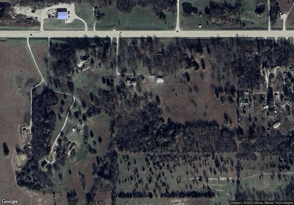
Map
Nearby Homes
- 810 Eastgate Blvd
- 10801 S 590 Rd
- 59501 E 100 Rd
- 59505 E Baptiste Dr
- 0 S 600 Rd Unit 24321477
- 610 Mckinley Blvd
- 2014 Harvard Ave
- 11753 Spring Dr
- 1916 S Grant Pkwy
- 1825 Lincoln Blvd
- 1815 N Grant Pkwy
- 229 K St SE
- 1518 Lincoln Blvd
- 200 K St SE
- 900 E Steve Owens Blvd
- 1803 Washington Dr
- 425 Rockdale Blvd
- 10301 S 600 Rd
- TBD E 130
- 1008 Quail Creek Dr
- 58501 E 100 Rd
- 10311 S 583 Rd
- 58302 E 100 Rd
- 58801 E 101 Rd
- 58751 E 100 Rd
- 58870 E 101 Rd
- 58875 E 101 Rd
- 329 Eastgate Blvd
- 401 Eastgate Blvd
- 58880 E 101 Rd
- 409 Eastgate Blvd
- 419 Eastgate Blvd
- 58821 E 102 Rd
- 411 Eastgate Blvd
- 0 Eastgate Blvd
- 322 Eastgate Blvd
- 58900 E 101 Rd
- 330 Eastgate Blvd
- 404 Eastgate Blvd
- 509 Eastgate Blvd
Your Personal Tour Guide
Ask me questions while you tour the home.