5851 S Broadview Rd Colfax, IN 46035
Estimated Value: $238,000 - $337,791
3
Beds
2
Baths
1,537
Sq Ft
$182/Sq Ft
Est. Value
About This Home
This home is located at 5851 S Broadview Rd, Colfax, IN 46035 and is currently estimated at $280,198, approximately $182 per square foot. 5851 S Broadview Rd is a home located in Clinton County with nearby schools including Clinton Prairie Elementary School and Clinton Prairie Junior/Senior High School.
Ownership History
Date
Name
Owned For
Owner Type
Purchase Details
Closed on
May 20, 2010
Sold by
Rusk Ray M and Rusk Toni K
Bought by
Oswalt Carlton D
Current Estimated Value
Home Financials for this Owner
Home Financials are based on the most recent Mortgage that was taken out on this home.
Original Mortgage
$130,560
Outstanding Balance
$87,894
Interest Rate
5.14%
Mortgage Type
New Conventional
Estimated Equity
$192,304
Create a Home Valuation Report for This Property
The Home Valuation Report is an in-depth analysis detailing your home's value as well as a comparison with similar homes in the area
Purchase History
| Date | Buyer | Sale Price | Title Company |
|---|---|---|---|
| Oswalt Carlton D | $128,000 | Moore Title | |
| Oswalt Carlton D | -- | None Available |
Source: Public Records
Mortgage History
| Date | Status | Borrower | Loan Amount |
|---|---|---|---|
| Open | Oswalt Carlton D | $130,560 |
Source: Public Records
Tax History
| Year | Tax Paid | Tax Assessment Tax Assessment Total Assessment is a certain percentage of the fair market value that is determined by local assessors to be the total taxable value of land and additions on the property. | Land | Improvement |
|---|---|---|---|---|
| 2024 | $2,135 | $250,100 | $33,300 | $216,800 |
| 2023 | $2,196 | $252,600 | $33,300 | $219,300 |
| 2022 | $1,556 | $211,300 | $33,300 | $178,000 |
| 2021 | $1,191 | $161,700 | $33,300 | $128,400 |
| 2020 | $992 | $140,500 | $33,300 | $107,200 |
| 2019 | $901 | $140,500 | $33,300 | $107,200 |
| 2018 | $894 | $143,300 | $33,300 | $110,000 |
| 2017 | $813 | $141,900 | $33,300 | $108,600 |
| 2016 | $718 | $118,800 | $34,500 | $84,300 |
| 2014 | $447 | $110,100 | $34,500 | $75,600 |
Source: Public Records
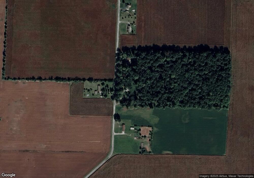
Map
Nearby Homes
- 406 W Linden St
- 404 W Franklin St
- 7250 S Co Road 880 W
- 108 N Carter St
- 9000 W County Road 750 S
- 4920 S Co Road 500 W
- 7001 N 1075 W
- 11816 Orange St
- 0 White St
- Ironwood Plan at Northwood Haven
- Spruce Plan at Northwood Haven
- Ashton Plan at Northwood Haven
- Palmetto Plan at Northwood Haven
- Bradford Plan at Northwood Haven
- Aspen II Plan at Northwood Haven
- Empress Plan at Northwood Haven
- Juniper Plan at Northwood Haven
- Chestnut Plan at Northwood Haven
- Norway Plan at Northwood Haven
- Cooper Plan at Northwood Haven
- 5810 S Broadview Rd
- 5787 S Broadview Rd
- 5983 S Broadview Rd
- 5685 S Broadview Rd
- 5647 S Broadview Rd
- 5571 S Broadview Rd Unit 1
- 5571 S Broadview Rd
- 309 N Illinois St
- 301 N Illinois St
- 404 N Illinois St
- 408 N Illinois St
- 308 N Illinois St
- 300 N Illinois St
- 403 E Ohio St
- 404 E Ayres St
- 403 N Indiana St
- 202 N Illinois St
- 403 E Ayres St
- 400 E Ohio St
- 108 N Illinois St
Your Personal Tour Guide
Ask me questions while you tour the home.