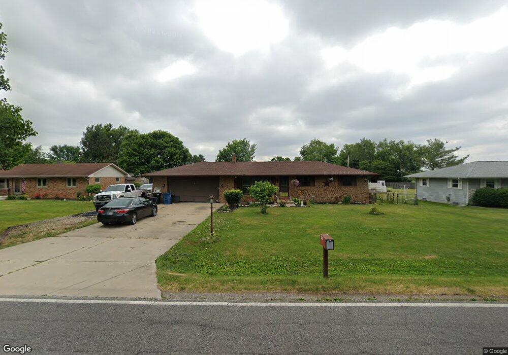
58510 Peach Rd South Bend, IN 46619
Estimated Value: $200,000 - $274,000
3
Beds
2
Baths
1,040
Sq Ft
$222/Sq Ft
Est. Value
About This Home
This home is located at 58510 Peach Rd, South Bend, IN 46619 and is currently estimated at $230,769, approximately $221 per square foot. 58510 Peach Rd is a home located in St. Joseph County with nearby schools including Wilson Elementary School, Clay Intermediate Center, and Navarre Middle School.
Ownership History
Date
Name
Owned For
Owner Type
Purchase Details
Closed on
Aug 10, 2018
Sold by
Sult John and Sult Lisa
Bought by
Freeman Jamie L and Sult John M
Current Estimated Value
Home Financials for this Owner
Home Financials are based on the most recent Mortgage that was taken out on this home.
Original Mortgage
$121,250
Outstanding Balance
$105,301
Interest Rate
4.5%
Mortgage Type
New Conventional
Estimated Equity
$125,468
Purchase Details
Closed on
Nov 15, 2016
Sold by
St Joseph County Auditor
Bought by
Sult Lisa
Purchase Details
Closed on
Nov 1, 2016
Sold by
St Joseph County Auditor
Bought by
Sult Lisa
Create a Home Valuation Report for This Property
The Home Valuation Report is an in-depth analysis detailing your home's value as well as a comparison with similar homes in the area
Home Values in the Area
Average Home Value in this Area
Purchase History
| Date | Buyer | Sale Price | Title Company |
|---|---|---|---|
| Freeman Jamie L | -- | None Available | |
| Sult Lisa | -- | -- | |
| Sult Lisa | -- | -- |
Source: Public Records
Mortgage History
| Date | Status | Borrower | Loan Amount |
|---|---|---|---|
| Open | Freeman Jamie L | $121,250 |
Source: Public Records
Tax History Compared to Growth
Tax History
| Year | Tax Paid | Tax Assessment Tax Assessment Total Assessment is a certain percentage of the fair market value that is determined by local assessors to be the total taxable value of land and additions on the property. | Land | Improvement |
|---|---|---|---|---|
| 2024 | $1,317 | $136,200 | $33,900 | $102,300 |
| 2023 | $1,380 | $136,000 | $33,900 | $102,100 |
| 2022 | $1,430 | $136,400 | $33,900 | $102,500 |
| 2021 | $1,091 | $110,200 | $16,300 | $93,900 |
| 2020 | $1,061 | $110,200 | $16,300 | $93,900 |
| 2019 | $927 | $112,700 | $16,300 | $96,400 |
| 2018 | $970 | $114,000 | $16,300 | $97,700 |
| 2017 | $1,108 | $120,000 | $16,300 | $103,700 |
| 2016 | $1,132 | $120,300 | $16,300 | $104,000 |
| 2014 | $1,143 | $120,800 | $16,300 | $104,500 |
Source: Public Records
Map
Nearby Homes
- 57860 Crumstown Hwy
- 57845 Crumstown Hwy
- 57383 Mcquade St
- 26541 Gaited Horse Trail
- 57248 Mcquade St
- 26360 Scotch Pine Trail
- 57223 Pine Needle Ct
- 27180 Harrison Rd
- 57195 Pinewood Dr
- 57115 White Pine Trail
- 24845 State Road 23
- 56435 Eastlea Dr
- 25595 Kern Rd
- 56872 Butternut Rd
- 1109 Sylvan Ln
- 55915 Dorn St
- 23735 State Road 2
- 5033 W Sample St
- 56266 Butternut Rd
- 55629 Cardinal Dr