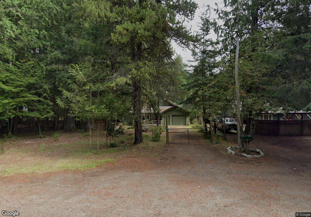
58527 State Route 410 E Enumclaw, WA 98022
Estimated Value: $672,263 - $1,008,000
3
Beds
2
Baths
1,167
Sq Ft
$749/Sq Ft
Est. Value
About This Home
This home is located at 58527 State Route 410 E, Enumclaw, WA 98022 and is currently estimated at $874,566, approximately $749 per square foot. 58527 State Route 410 E is a home located in Pierce County with nearby schools including Elk Ridge Elementary School and Glacier Middle School.
Ownership History
Date
Name
Owned For
Owner Type
Purchase Details
Closed on
Dec 7, 2011
Sold by
Hubbard Elna H
Bought by
Hartford Peter M and Hartford Phyllis B
Current Estimated Value
Home Financials for this Owner
Home Financials are based on the most recent Mortgage that was taken out on this home.
Original Mortgage
$200,000
Outstanding Balance
$137,142
Interest Rate
4.06%
Mortgage Type
New Conventional
Estimated Equity
$737,424
Create a Home Valuation Report for This Property
The Home Valuation Report is an in-depth analysis detailing your home's value as well as a comparison with similar homes in the area
Home Values in the Area
Average Home Value in this Area
Purchase History
| Date | Buyer | Sale Price | Title Company |
|---|---|---|---|
| Hartford Peter M | $250,000 | Cw Title |
Source: Public Records
Mortgage History
| Date | Status | Borrower | Loan Amount |
|---|---|---|---|
| Open | Hartford Peter M | $200,000 |
Source: Public Records
Tax History Compared to Growth
Tax History
| Year | Tax Paid | Tax Assessment Tax Assessment Total Assessment is a certain percentage of the fair market value that is determined by local assessors to be the total taxable value of land and additions on the property. | Land | Improvement |
|---|---|---|---|---|
| 2025 | $5,018 | $612,900 | $214,800 | $398,100 |
| 2024 | $5,018 | $574,600 | $196,900 | $377,700 |
| 2023 | $5,018 | $527,500 | $191,600 | $335,900 |
| 2022 | $4,560 | $488,500 | $159,300 | $329,200 |
| 2021 | $4,299 | $347,500 | $102,700 | $244,800 |
| 2019 | $3,617 | $323,200 | $92,900 | $230,300 |
| 2018 | $3,917 | $296,000 | $91,100 | $204,900 |
| 2017 | $3,624 | $281,700 | $82,500 | $199,200 |
| 2016 | $3,796 | $257,000 | $73,800 | $183,200 |
| 2014 | $3,363 | $237,400 | $70,900 | $166,500 |
| 2013 | $3,363 | $222,800 | $70,900 | $151,900 |
Source: Public Records
Map
Nearby Homes
- 58610 Lumpy Ln E
- 11318 583rd Ave E
- 11101 Riverview Dr E
- 50739 SE EnuMcLaw-chinook Pass Rd
- 16119 Crystal River Ranch Rd E
- 16006 Crystal Ln E
- 62307 Meadow Way E
- 0 Eatonville Elbe Forest Rd E Unit NWM2392387
- 62315 Mountain Beaver Way E
- 9 The Dalles
- 0 E Lake Walker Dr SE Unit NWM2417050
- 29016 SE 477th St
- 40440 306th Ave SE
- 40450 306th Ave SE
- 0 X SE 477th St
- 1247 Orangewood St Unit 20
- 1115 Orangewood St Unit 19
- 1413 Orangewood St Unit 21
- 2109 Timber St Unit 39
- 2076 Paradise Ave Unit 15
- 58527 State Route 410 E
- 58607 State Route 410 E
- 58618 Lumpy Ln E
- 58602 Lumpy Ln E
- 58622 Lumpy Ln E
- 58715 Lumpy Ln E
- 58416 114th Street Ct E
- 58418 114th St E
- 11324 Dr Uhlman Rd E
- 58418 114th Street Ct E
- 58621 Lumpy Ln E
- 58611 Lumpy Ln E
- 58617 Lumpy Ln E
- 58703 Washington 410
- 58722 Lumpy Ln E
- 58505 State Route 410 E
- 58715 Lumpy Ln E
- 58715 Lumpy Ln E
- 58414 State Route 410 E
- 5280 SE 496th Place