5853 Shore Ct Unit 20 Clarkston, MI 48346
Estimated Value: $202,729 - $253,000
--
Bed
2
Baths
1,231
Sq Ft
$191/Sq Ft
Est. Value
About This Home
This home is located at 5853 Shore Ct Unit 20, Clarkston, MI 48346 and is currently estimated at $235,182, approximately $191 per square foot. 5853 Shore Ct Unit 20 is a home located in Oakland County with nearby schools including Our Lady Of The Lakes Catholic School, Springfield Christian Academy, and Waterford Montessori Academy - Midland.
Ownership History
Date
Name
Owned For
Owner Type
Purchase Details
Closed on
Jun 16, 2025
Sold by
Campbell Carol
Bought by
Campbell Carol and Campbell Holly A
Current Estimated Value
Home Financials for this Owner
Home Financials are based on the most recent Mortgage that was taken out on this home.
Original Mortgage
$15,000
Outstanding Balance
$14,961
Interest Rate
6.76%
Mortgage Type
Credit Line Revolving
Estimated Equity
$220,221
Purchase Details
Closed on
Nov 16, 2007
Sold by
Green Catherine S
Bought by
Campbell Carol
Create a Home Valuation Report for This Property
The Home Valuation Report is an in-depth analysis detailing your home's value as well as a comparison with similar homes in the area
Home Values in the Area
Average Home Value in this Area
Purchase History
| Date | Buyer | Sale Price | Title Company |
|---|---|---|---|
| Campbell Carol | -- | None Listed On Document | |
| Campbell Carol | -- | None Listed On Document | |
| Campbell Carol | $110,000 | Partners Title Agency |
Source: Public Records
Mortgage History
| Date | Status | Borrower | Loan Amount |
|---|---|---|---|
| Open | Campbell Carol | $15,000 | |
| Closed | Campbell Carol | $15,000 |
Source: Public Records
Tax History Compared to Growth
Tax History
| Year | Tax Paid | Tax Assessment Tax Assessment Total Assessment is a certain percentage of the fair market value that is determined by local assessors to be the total taxable value of land and additions on the property. | Land | Improvement |
|---|---|---|---|---|
| 2024 | $949 | $84,300 | $23,100 | $61,200 |
| 2023 | $1,279 | $70,600 | $17,000 | $53,600 |
| 2022 | $1,281 | $62,400 | $17,000 | $45,400 |
| 2021 | $1,281 | $57,800 | $15,200 | $42,600 |
| 2020 | $828 | $56,500 | $13,100 | $43,400 |
| 2018 | $1,222 | $54,300 | $12,800 | $41,500 |
| 2015 | -- | $43,700 | $0 | $0 |
| 2014 | -- | $39,300 | $0 | $0 |
| 2011 | -- | $42,500 | $0 | $0 |
Source: Public Records
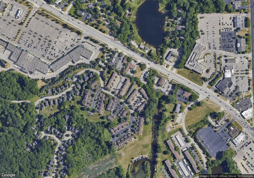
Map
Nearby Homes
- 6832 Northcrest Way E Unit 31
- 6830 Dixie Hwy
- 9457 Dixie Hwy
- 6024 Overlook
- V/L Dixie Hwy
- 6095 Sunnydale Rd
- 6171 S Main St
- 7314 Village Park Dr Unit 47
- 5605 Kingfisher Ln
- 0 Citation Unit 20240093207
- The Franklin II Plan at Park Ridge at Stonewood
- 7116 Oak Ridge Ct
- 6944 Stonewood Place Unit 36
- 6940 Stonewood Place Dr
- 6920 Stonewood Place Unit 42
- 6512 White Lake Rd
- 6360 Havelock Dr
- 5920 Warbler Dr
- 5336 Forest Ridge Dr Unit 55
- 5955 Chickadee Ln
- 5874 Shore Ct Unit 26
- 5874 Windward Ct Unit 22, 16
- 5862 Shore Ct Unit 19, 32
- 5859 Shore Ct Unit 21 23
- 5854 Shore Ct
- 5856 Shore Ct Unit 35
- 5858 Shore Ct
- 5860 Shore Ct
- 5862 Shore Ct
- 5866 Shore Ct
- 5868 Shore Ct Unit 29
- 5870 Shore Ct
- 5872 Shore Ct Unit 27
- 5863 Shore Ct
- 5861 Shore Ct
- 5859 Shore Ct Unit 23
- 5857 Shore Ct
- 5855 Shore Ct
- 5872 Windward Ct
- 5874 Windward Ct Unit 16