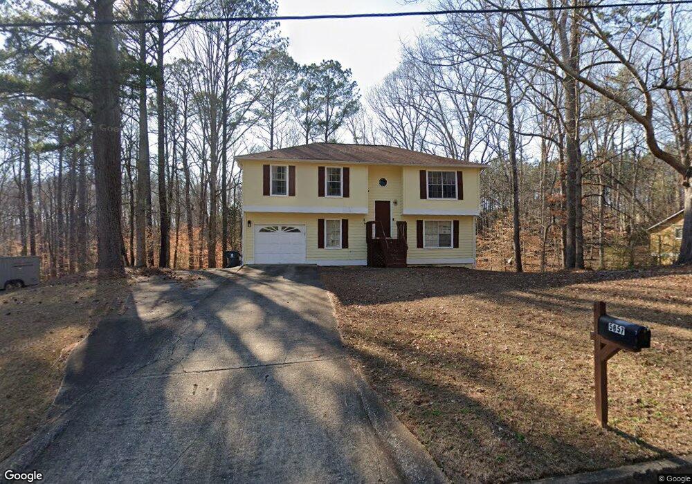
5857 Rock Rd Unit 5 Union City, GA 30291
Estimated Value: $213,000 - $229,000
4
Beds
2
Baths
1,080
Sq Ft
$204/Sq Ft
Est. Value
About This Home
This home is located at 5857 Rock Rd Unit 5, Union City, GA 30291 and is currently estimated at $220,797, approximately $204 per square foot. 5857 Rock Rd Unit 5 is a home located in Fulton County with nearby schools including Liberty Point Elementary School, Camp Creek Middle School, and Langston Hughes High School.
Ownership History
Date
Name
Owned For
Owner Type
Purchase Details
Closed on
Aug 26, 1996
Sold by
Atlanta Coalition For Consumer Edc
Bought by
Whittaker Pamela
Current Estimated Value
Purchase Details
Closed on
Aug 23, 1995
Sold by
Secretary Of Hud
Bought by
Atlanta Coalition Consumer Educ
Purchase Details
Closed on
Nov 1, 1994
Sold by
Itt Residential Cap Servg Corp
Bought by
Secretary Of Hud
Create a Home Valuation Report for This Property
The Home Valuation Report is an in-depth analysis detailing your home's value as well as a comparison with similar homes in the area
Home Values in the Area
Average Home Value in this Area
Purchase History
| Date | Buyer | Sale Price | Title Company |
|---|---|---|---|
| Whittaker Pamela | $84,700 | -- | |
| Atlanta Coalition Consumer Educ | -- | -- | |
| Secretary Of Hud | -- | -- | |
| Itt Residential Cap Servg Corp | $100,400 | -- |
Source: Public Records
Mortgage History
| Date | Status | Borrower | Loan Amount |
|---|---|---|---|
| Closed | Atlanta Coalition Consumer Educ | $0 |
Source: Public Records
Tax History Compared to Growth
Tax History
| Year | Tax Paid | Tax Assessment Tax Assessment Total Assessment is a certain percentage of the fair market value that is determined by local assessors to be the total taxable value of land and additions on the property. | Land | Improvement |
|---|---|---|---|---|
| 2025 | $1,013 | $66,480 | $17,360 | $49,120 |
| 2023 | $2,022 | $71,640 | $20,320 | $51,320 |
| 2022 | $574 | $49,760 | $13,120 | $36,640 |
| 2021 | $464 | $37,680 | $8,160 | $29,520 |
| 2020 | $463 | $37,280 | $8,080 | $29,200 |
| 2019 | $782 | $27,920 | $5,760 | $22,160 |
| 2018 | $365 | $22,200 | $3,120 | $19,080 |
| 2017 | $380 | $22,200 | $3,120 | $19,080 |
| 2016 | $446 | $25,760 | $5,040 | $20,720 |
| 2015 | $851 | $25,760 | $5,040 | $20,720 |
| 2014 | $256 | $15,560 | $2,040 | $13,520 |
Source: Public Records
Map
Nearby Homes
- 5910 Rock Rd
- 5856 Rock Rd
- 4695 Ravenwood Loop
- 0 Lower Dixie Lake Rd Unit 22475153
- 0 Lower Dixie Lake Rd Unit 7515143
- 5900 Union Woods Way
- 6024 Diamond Ln
- 6000 Diamond Ln
- 3227 Diamond Bluff
- 0 Lakeside Dr Unit 22475152
- 0 Lakeside Dr Unit 7515650
- 4615 Ravenwood Loop
- 4611 Ravenwood Loop
- 4605 Ravenwood Loop
- 5545 Union Pointe Place
- 4439 Manor Hill Dr Unit 11
- 4443 Manor Hill Dr
- 5845 Rock Rd
- 5859 Rock Rd
- 5856 Rock Rd Unit 5856
- 5856 Rock Rd
- 5856 Rock Rd
- 5858 Rock Rd
- 5844 Rock Rd
- 0 Rock Rd Unit 7403123
- 0 Rock Rd Unit 7173870
- 0 Rock Rd Unit 7454431
- 0 Rock Rd Unit 7332184
- 0 Rock Rd Unit 7170266
- 0 Rock Rd Unit 7153967
- 0 Rock Rd Unit 7038349
- 0 Rock Rd Unit 3168916
- 0 Rock Rd Unit 3160068
- 0 Rock Rd Unit 8755874
- 0 Rock Rd Unit 8541499
- 0 Rock Rd Unit 3153815
- 0 Rock Rd Unit 8631574