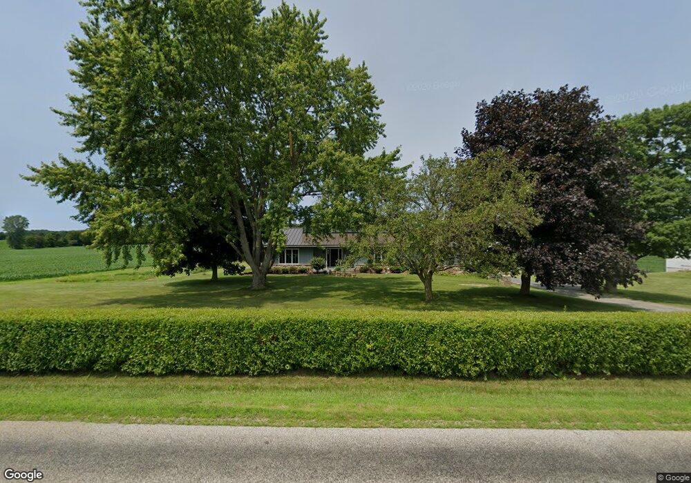
5858 County Road 11a Auburn, IN 46706
Estimated Value: $377,194 - $835,000
3
Beds
2
Baths
1,968
Sq Ft
$270/Sq Ft
Est. Value
About This Home
This home is located at 5858 County Road 11a, Auburn, IN 46706 and is currently estimated at $532,299, approximately $270 per square foot. 5858 County Road 11a is a home located in DeKalb County with nearby schools including J.E. Ober Elementary School, Garrett Middle School, and Garrett High School.
Ownership History
Date
Name
Owned For
Owner Type
Purchase Details
Closed on
Sep 23, 2020
Sold by
Panning Todd A and Panning Renee L
Bought by
Dock Zachery and Dock Amber
Current Estimated Value
Home Financials for this Owner
Home Financials are based on the most recent Mortgage that was taken out on this home.
Original Mortgage
$275,000
Outstanding Balance
$244,044
Interest Rate
2.9%
Mortgage Type
New Conventional
Estimated Equity
$288,255
Purchase Details
Closed on
Jun 29, 2017
Sold by
Whittington James R and Whittington Charlotte M
Bought by
Panning Todd A and Panning Renee L
Home Financials for this Owner
Home Financials are based on the most recent Mortgage that was taken out on this home.
Original Mortgage
$435,000
Interest Rate
4.02%
Mortgage Type
Future Advance Clause Open End Mortgage
Purchase Details
Closed on
Feb 28, 2002
Sold by
Whittington James M and Whittington Charlotte M
Bought by
Whittington James R and Whittington Charlotte M
Create a Home Valuation Report for This Property
The Home Valuation Report is an in-depth analysis detailing your home's value as well as a comparison with similar homes in the area
Home Values in the Area
Average Home Value in this Area
Purchase History
| Date | Buyer | Sale Price | Title Company |
|---|---|---|---|
| Dock Zachery | -- | None Available | |
| Panning Todd A | -- | None Available | |
| Whittington James R | -- | -- |
Source: Public Records
Mortgage History
| Date | Status | Borrower | Loan Amount |
|---|---|---|---|
| Open | Dock Zachery | $275,000 | |
| Previous Owner | Panning Todd A | $435,000 |
Source: Public Records
Tax History Compared to Growth
Tax History
| Year | Tax Paid | Tax Assessment Tax Assessment Total Assessment is a certain percentage of the fair market value that is determined by local assessors to be the total taxable value of land and additions on the property. | Land | Improvement |
|---|---|---|---|---|
| 2024 | $2,177 | $310,900 | $56,500 | $254,400 |
| 2023 | $1,981 | $297,600 | $52,500 | $245,100 |
| 2022 | $1,985 | $258,800 | $45,100 | $213,700 |
| 2021 | $1,653 | $222,800 | $41,600 | $181,200 |
| 2020 | $1,681 | $224,200 | $34,800 | $189,400 |
| 2019 | $3,036 | $226,200 | $36,300 | $189,900 |
| 2018 | $2,653 | $185,200 | $34,200 | $151,000 |
| 2017 | $1,004 | $180,800 | $35,800 | $145,000 |
| 2016 | $976 | $171,400 | $36,500 | $134,900 |
| 2014 | $948 | $157,600 | $37,100 | $120,500 |
Source: Public Records
Map
Nearby Homes
- 1967 County Road 60
- 2256 County Road 56
- 5936 County Road 427
- 5937 County Road 427
- 602 Pioneer St
- 508 Pioneer St
- 502 Pioneer St
- 1904 Waynedale Dr
- 508 Sadie Place
- 502 Harold St
- 5272 Greyson Heights Dr
- 1526 Waynedale Dr
- 1905 Maple Ln
- 0 S Colony Dr
- 18780 Eisley Cove
- 2034 County Road 68
- 502 S Britton St
- 1700 South Rd
- 16 Thornewood Dr
- 412 S Walsh St
- 5772 County Road 11a
- 5963 County Road 11a
- 5821 County Road 17
- 6018 County Road 11a
- 5833 County Road 17
- 6057 County Road 11a
- 5682 County Road 11a
- 5698 County Road 17
- 6082 County Road 11a
- 0 County Road 56 Unit 2 201009789
- 000 County Road 56 Unit 7
- 0 County Road 56
- 000 County Road 56
- 00 County Road 56
- 00 County Road 56
- 5781 County Road 17
- 2177 County Road 60
- 5694 County Road 17
- 0000 County Road 17
- 1989 County Road 60