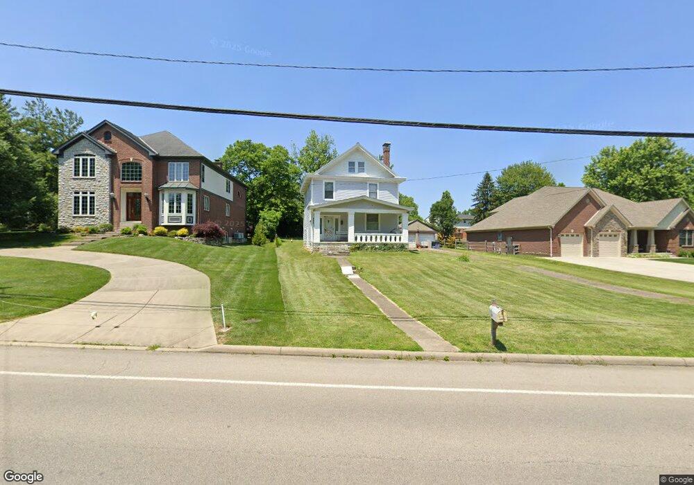
5859 Kenwood Rd Cincinnati, OH 45243
Estimated Value: $394,000 - $535,000
3
Beds
2
Baths
1,570
Sq Ft
$285/Sq Ft
Est. Value
About This Home
This home is located at 5859 Kenwood Rd, Cincinnati, OH 45243 and is currently estimated at $447,435, approximately $284 per square foot. 5859 Kenwood Rd is a home located in Hamilton County with nearby schools including Madeira Elementary School, Madeira Middle School, and Madeira High School.
Ownership History
Date
Name
Owned For
Owner Type
Purchase Details
Closed on
Jul 31, 1996
Sold by
Rybolt Virginia R
Bought by
George Robert Anthony
Current Estimated Value
Home Financials for this Owner
Home Financials are based on the most recent Mortgage that was taken out on this home.
Original Mortgage
$67,500
Outstanding Balance
$5,379
Interest Rate
8.3%
Estimated Equity
$442,057
Create a Home Valuation Report for This Property
The Home Valuation Report is an in-depth analysis detailing your home's value as well as a comparison with similar homes in the area
Home Values in the Area
Average Home Value in this Area
Purchase History
| Date | Buyer | Sale Price | Title Company |
|---|---|---|---|
| George Robert Anthony | $117,500 | -- |
Source: Public Records
Mortgage History
| Date | Status | Borrower | Loan Amount |
|---|---|---|---|
| Open | George Robert Anthony | $67,500 |
Source: Public Records
Tax History Compared to Growth
Tax History
| Year | Tax Paid | Tax Assessment Tax Assessment Total Assessment is a certain percentage of the fair market value that is determined by local assessors to be the total taxable value of land and additions on the property. | Land | Improvement |
|---|---|---|---|---|
| 2024 | $6,147 | $107,167 | $51,209 | $55,958 |
| 2023 | $6,227 | $107,167 | $51,209 | $55,958 |
| 2022 | $5,180 | $72,895 | $39,501 | $33,394 |
| 2021 | $5,072 | $72,895 | $39,501 | $33,394 |
| 2020 | $4,691 | $72,895 | $39,501 | $33,394 |
| 2019 | $4,708 | $67,494 | $36,575 | $30,919 |
| 2018 | $4,746 | $67,494 | $36,575 | $30,919 |
| 2017 | $4,501 | $67,494 | $36,575 | $30,919 |
| 2016 | $3,570 | $50,411 | $21,721 | $28,690 |
| 2015 | $3,301 | $50,411 | $21,721 | $28,690 |
| 2014 | $3,320 | $50,411 | $21,721 | $28,690 |
| 2013 | $3,281 | $48,010 | $20,685 | $27,325 |
Source: Public Records
Map
Nearby Homes
- 5801 Kenwood Rd
- 5906 Woodland Ln
- 5802 Hickory Ct
- 5801 Hickory Ct Unit 1
- 5804 Hickory Ct Unit 7
- 5960 Woodland Ln
- Phase 2 5918 Plan at Woodland Vistas
- Phase 2 5912 Plan at Woodland Vistas
- 5900 Woodland Ln
- 5805 Hickory Ct
- 5899 Jordan Ln
- 5620 Windridge View Unit 32
- 6229 Alpha St
- 5424 Ward St
- 5439 Whetsel Ave
- 5349 Grand Vista Ct
- 5454 Owasco St
- 5995 Crabtree Ln
- 7335 Demar Rd
- 5311 Weltner Ave
- 5873 Kenwood Rd
- 5851 Kenwood Rd
- 5935 Kenwood Rd
- 6245 Caribou Ct
- 5895 Kenwood Rd
- 5837 Kenwood Rd
- 6250 Caribou Ct
- 6244 Caribou Ct
- 6239 Caribou Ct
- 5882 Kenwood Rd
- 5832 Kenwood Rd
- 6271 Lakota Dr
- 6261 Lakota Dr
- 5892 Kenwood Rd
- 5818 Kenwood Rd
- 6238 Caribou Ct
- 6253 Lakota Dr
- 5908 Kenwood Rd
- 6233 Caribou Ct
- 6245 Lakota Dr