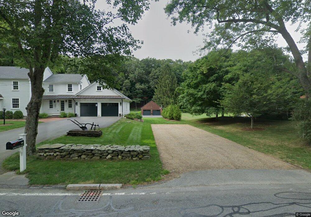
586 Barretts Mill Rd Concord, MA 01742
Estimated Value: $1,242,000 - $2,128,000
3
Beds
2
Baths
1,716
Sq Ft
$1,037/Sq Ft
Est. Value
About This Home
This home is located at 586 Barretts Mill Rd, Concord, MA 01742 and is currently estimated at $1,779,057, approximately $1,036 per square foot. 586 Barretts Mill Rd is a home located in Middlesex County with nearby schools including Thoreau Elementary School, Concord Middle School, and Concord Carlisle High School.
Ownership History
Date
Name
Owned For
Owner Type
Purchase Details
Closed on
Mar 28, 2008
Sold by
Laura M Moreau Irt and Vecchio Kathleen A
Bought by
Morse Christopher A and Morse Julie A
Current Estimated Value
Home Financials for this Owner
Home Financials are based on the most recent Mortgage that was taken out on this home.
Original Mortgage
$417,000
Outstanding Balance
$261,245
Interest Rate
5.76%
Mortgage Type
Purchase Money Mortgage
Estimated Equity
$1,517,812
Create a Home Valuation Report for This Property
The Home Valuation Report is an in-depth analysis detailing your home's value as well as a comparison with similar homes in the area
Home Values in the Area
Average Home Value in this Area
Purchase History
| Date | Buyer | Sale Price | Title Company |
|---|---|---|---|
| Morse Christopher A | $565,000 | -- |
Source: Public Records
Mortgage History
| Date | Status | Borrower | Loan Amount |
|---|---|---|---|
| Open | Morse Christopher A | $417,000 |
Source: Public Records
Tax History
| Year | Tax Paid | Tax Assessment Tax Assessment Total Assessment is a certain percentage of the fair market value that is determined by local assessors to be the total taxable value of land and additions on the property. | Land | Improvement |
|---|---|---|---|---|
| 2025 | $234 | $1,766,500 | $585,900 | $1,180,600 |
| 2024 | $22,941 | $1,747,200 | $585,900 | $1,161,300 |
| 2023 | $18,911 | $1,459,200 | $532,600 | $926,600 |
| 2022 | $18,809 | $1,274,300 | $426,000 | $848,300 |
| 2021 | $18,315 | $1,244,200 | $426,000 | $818,200 |
| 2020 | $17,958 | $1,262,000 | $426,000 | $836,000 |
| 2019 | $16,863 | $1,188,400 | $393,100 | $795,300 |
| 2018 | $10,096 | $706,500 | $394,000 | $312,500 |
| 2017 | $10,073 | $715,900 | $403,400 | $312,500 |
| 2016 | $9,853 | $707,800 | $384,600 | $323,200 |
| 2015 | $9,349 | $654,200 | $356,100 | $298,100 |
Source: Public Records
Map
Nearby Homes
- 265 College Rd
- 79-81 Assabet Ave
- 101 Adams Rd
- 244 Musterfield Rd
- 1 Baker Ave
- 315 Musketaquid Rd
- 735 Lowell Rd Lot 1 Land
- 735 Lowell Rd
- 16 Concord Greene Unit 5
- 104 Channing Rd
- 21 Concord Greene Unit 8
- 1 Bayberry Rd
- 42 Sunnyside Ln
- 316 Lindsay Pond Rd
- 55 Staffordshire Ln Unit B
- 853 Strawberry Hill Rd
- 54 Maple St
- 29 Willard Common
- 49 Willard Common
- 47 Bridgecourt Ln
- 568 Barretts Mill Rd
- 575 Barretts Mill Rd
- 614 Barretts Mill Rd Unit 1
- 614 Barretts Mill Rd
- 612 Barretts Mill Rd
- 612 Barretts Mill Rd Unit 1
- 554 Barretts Mill Rd
- 110 Lanes End
- 90 Lanes End
- 540 Barretts Mill Rd
- 8 College Rd
- 537 Barretts Mill Rd
- 120 Lanes End
- 681 Barretts Mill Rd
- 520 Barretts Mill Rd
- 48 Lee Dr
- 95 Lanes End
- 24 College Rd
- 41 Lee Dr
- 521 Barretts Mill Rd
Your Personal Tour Guide
Ask me questions while you tour the home.