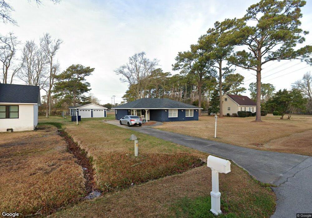
586 Robin Rd Morehead City, NC 28557
Estimated Value: $307,000 - $337,724
3
Beds
2
Baths
1,496
Sq Ft
$216/Sq Ft
Est. Value
About This Home
This home is located at 586 Robin Rd, Morehead City, NC 28557 and is currently estimated at $323,681, approximately $216 per square foot. 586 Robin Rd is a home located in Carteret County with nearby schools including Morehead City Primary School, Morehead Elementary School at Camp Glenn, and Morehead City Middle School.
Ownership History
Date
Name
Owned For
Owner Type
Purchase Details
Closed on
Jul 29, 2005
Sold by
Dudley Guion G and Dudley Edna G
Bought by
Roberts Peter Brian and Taylor Roberts Rita
Current Estimated Value
Home Financials for this Owner
Home Financials are based on the most recent Mortgage that was taken out on this home.
Original Mortgage
$135,000
Outstanding Balance
$66,728
Interest Rate
4.75%
Mortgage Type
Unknown
Estimated Equity
$256,953
Create a Home Valuation Report for This Property
The Home Valuation Report is an in-depth analysis detailing your home's value as well as a comparison with similar homes in the area
Home Values in the Area
Average Home Value in this Area
Purchase History
| Date | Buyer | Sale Price | Title Company |
|---|---|---|---|
| Roberts Peter Brian | $150,000 | None Available |
Source: Public Records
Mortgage History
| Date | Status | Borrower | Loan Amount |
|---|---|---|---|
| Open | Roberts Peter Brian | $135,000 |
Source: Public Records
Tax History
| Year | Tax Paid | Tax Assessment Tax Assessment Total Assessment is a certain percentage of the fair market value that is determined by local assessors to be the total taxable value of land and additions on the property. | Land | Improvement |
|---|---|---|---|---|
| 2025 | $1,099 | $333,661 | $86,069 | $247,592 |
| 2024 | $874 | $168,797 | $59,622 | $109,175 |
| 2023 | $948 | $168,797 | $59,622 | $109,175 |
| 2022 | $932 | $168,797 | $59,622 | $109,175 |
| 2021 | $898 | $168,797 | $59,622 | $109,175 |
| 2020 | $864 | $168,797 | $59,622 | $109,175 |
| 2019 | $730 | $144,763 | $29,811 | $114,952 |
| 2017 | $730 | $144,763 | $29,811 | $114,952 |
| 2016 | $730 | $144,763 | $29,811 | $114,952 |
| 2015 | $716 | $144,763 | $29,811 | $114,952 |
| 2014 | $614 | $161,982 | $62,323 | $99,659 |
Source: Public Records
Map
Nearby Homes
- 4425 Arendell St Unit Boat Slip 43
- 4425 Arendell St Unit 301 & Boatslip 25
- 4425 Arendell St Unit 303 Harborside Club
- 4425 Arendell St Unit 609
- 4425 Arendell St Unit 606
- 4425 Arendell St Unit Boat Slip 42
- 4425 Arendell St Unit 106
- 113 Lake Ave
- 118 Lake Ave Unit 303 Mariner Cove
- 906 Ridge Water Blvd
- 610 Friendly Rd
- 204 Savannah Ave
- 3707 Country Club Rd
- 917 W Haven Blvd
- 203 Pensacola Ave
- 201 Pensacola Ave
- 213 Pensacola Ave
- 3705 Oxford Ct
- 706 Hedrick Blvd
- 4122 Sound Dr
Your Personal Tour Guide
Ask me questions while you tour the home.