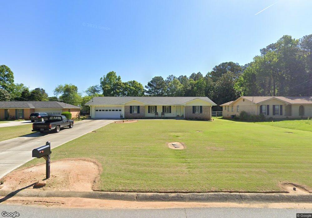
586 Rollingwood Dr Unit 2 Stone Mountain, GA 30087
Estimated Value: $364,171 - $399,000
3
Beds
2
Baths
2,006
Sq Ft
$187/Sq Ft
Est. Value
About This Home
This home is located at 586 Rollingwood Dr Unit 2, Stone Mountain, GA 30087 and is currently estimated at $375,293, approximately $187 per square foot. 586 Rollingwood Dr Unit 2 is a home located in Gwinnett County with nearby schools including Camp Creek Elementary School, Trickum Middle School, and Parkview High School.
Ownership History
Date
Name
Owned For
Owner Type
Purchase Details
Closed on
Mar 29, 2021
Sold by
Bess Lola Mae
Bought by
Bess Lola Mae and Bess Paul
Current Estimated Value
Purchase Details
Closed on
Mar 28, 2021
Sold by
Bess Paul
Bought by
Bess Paul and Bess Lola Mae
Purchase Details
Closed on
May 7, 1999
Sold by
Legg Lanelle H
Bought by
Bess Paul J and Bess Lola M
Home Financials for this Owner
Home Financials are based on the most recent Mortgage that was taken out on this home.
Original Mortgage
$103,900
Interest Rate
6.49%
Mortgage Type
New Conventional
Create a Home Valuation Report for This Property
The Home Valuation Report is an in-depth analysis detailing your home's value as well as a comparison with similar homes in the area
Home Values in the Area
Average Home Value in this Area
Purchase History
| Date | Buyer | Sale Price | Title Company |
|---|---|---|---|
| Bess Lola Mae | -- | -- | |
| Bess Paul | -- | -- | |
| Bess Paul J | $129,900 | -- |
Source: Public Records
Mortgage History
| Date | Status | Borrower | Loan Amount |
|---|---|---|---|
| Previous Owner | Bess Paul J | $103,900 |
Source: Public Records
Tax History Compared to Growth
Tax History
| Year | Tax Paid | Tax Assessment Tax Assessment Total Assessment is a certain percentage of the fair market value that is determined by local assessors to be the total taxable value of land and additions on the property. | Land | Improvement |
|---|---|---|---|---|
| 2024 | $923 | $145,800 | $22,200 | $123,600 |
| 2023 | $923 | $134,720 | $24,000 | $110,720 |
| 2022 | $0 | $116,520 | $24,000 | $92,520 |
| 2021 | $869 | $87,960 | $17,200 | $70,760 |
| 2020 | $810 | $87,960 | $17,200 | $70,760 |
| 2019 | $810 | $79,840 | $14,000 | $65,840 |
| 2018 | $792 | $73,840 | $14,000 | $59,840 |
| 2016 | $833 | $65,280 | $14,000 | $51,280 |
| 2015 | $845 | $59,720 | $14,000 | $45,720 |
| 2014 | -- | $50,640 | $14,000 | $36,640 |
Source: Public Records
Map
Nearby Homes
- 737 Lioness Ct
- 483 Rollingwood Dr
- 507 Castlearie Dr
- 507 Castleaire Dr Unit 1
- 5531 Four Winds Dr SW
- 5741 Wolf Laurel Ln SW
- 5632 Stillwater Ct
- 5607 Mountainbrooke Ct
- 851 Rockbridge Rd SW
- 5521 E Wind Dr SW
- 771 Mountainbrooke Cir SW
- 358 W Wind Dr SW
- 717 Oxford Ct SW
- 262 Harmony Grove Rd
- 353 Old Rosser Rd
- 292 Old Rosser Rd
- 5774 Vantage Ct
- 5533 N Wind Dr SW
- 574 Rollingwood Dr
- 598 Rollingwood Dr
- 5815 Grove Place Crossing SW
- 0 Rollingwood Dr Unit 7475574
- 0 Rollingwood Dr Unit 7342441
- 0 Rollingwood Dr Unit 7235388
- 0 Rollingwood Dr Unit 7029601
- 0 Rollingwood Dr Unit 8641871
- 0 Rollingwood Dr Unit 3257814
- 0 Rollingwood Dr Unit 7283937
- 0 Rollingwood Dr
- 562 Rollingwood Dr
- 5805 Grove Place Crossing SW Unit 3
- 608 Rollingwood Dr
- 5762 Fairfield Place
- 5825 Grove Place Crossing SW Unit III
- 5759 Fairfield Place
- 5795 Grove Place Crossing SW
- 550 Rollingwood Dr
- 618 Rollingwood Dr