586 Tolhurst Rd Cleveland, GA 30528
Estimated Value: $459,088 - $619,000
3
Beds
2
Baths
2,173
Sq Ft
$260/Sq Ft
Est. Value
About This Home
This home is located at 586 Tolhurst Rd, Cleveland, GA 30528 and is currently estimated at $565,772, approximately $260 per square foot. 586 Tolhurst Rd is a home located in White County with nearby schools including Tesnatee Gap Elementary (Old White County Intermediate), White County 9th Grade Academy, and Jack P. Nix Elementary School.
Ownership History
Date
Name
Owned For
Owner Type
Purchase Details
Closed on
Apr 25, 2013
Sold by
Parker Lisa P
Bought by
Parker Lisa P and Parker Charles A
Current Estimated Value
Create a Home Valuation Report for This Property
The Home Valuation Report is an in-depth analysis detailing your home's value as well as a comparison with similar homes in the area
Home Values in the Area
Average Home Value in this Area
Purchase History
| Date | Buyer | Sale Price | Title Company |
|---|---|---|---|
| Parker Lisa P | $200,000 | -- |
Source: Public Records
Tax History Compared to Growth
Tax History
| Year | Tax Paid | Tax Assessment Tax Assessment Total Assessment is a certain percentage of the fair market value that is determined by local assessors to be the total taxable value of land and additions on the property. | Land | Improvement |
|---|---|---|---|---|
| 2025 | $2,327 | $183,200 | $48,628 | $134,572 |
| 2024 | $2,327 | $171,040 | $36,468 | $134,572 |
| 2023 | $1,967 | $154,712 | $32,416 | $122,296 |
| 2022 | $2,271 | $138,208 | $32,416 | $105,792 |
| 2021 | $2,195 | $114,536 | $31,516 | $83,020 |
| 2020 | $2,143 | $103,368 | $29,548 | $73,820 |
| 2019 | $2,147 | $103,368 | $29,548 | $73,820 |
| 2018 | $2,145 | $103,368 | $29,548 | $73,820 |
| 2017 | $1,918 | $92,144 | $27,576 | $64,568 |
| 2016 | $1,916 | $92,144 | $27,576 | $64,568 |
| 2015 | $1,821 | $175,490 | $25,608 | $64,568 |
| 2014 | $1,668 | $160,880 | $0 | $0 |
Source: Public Records
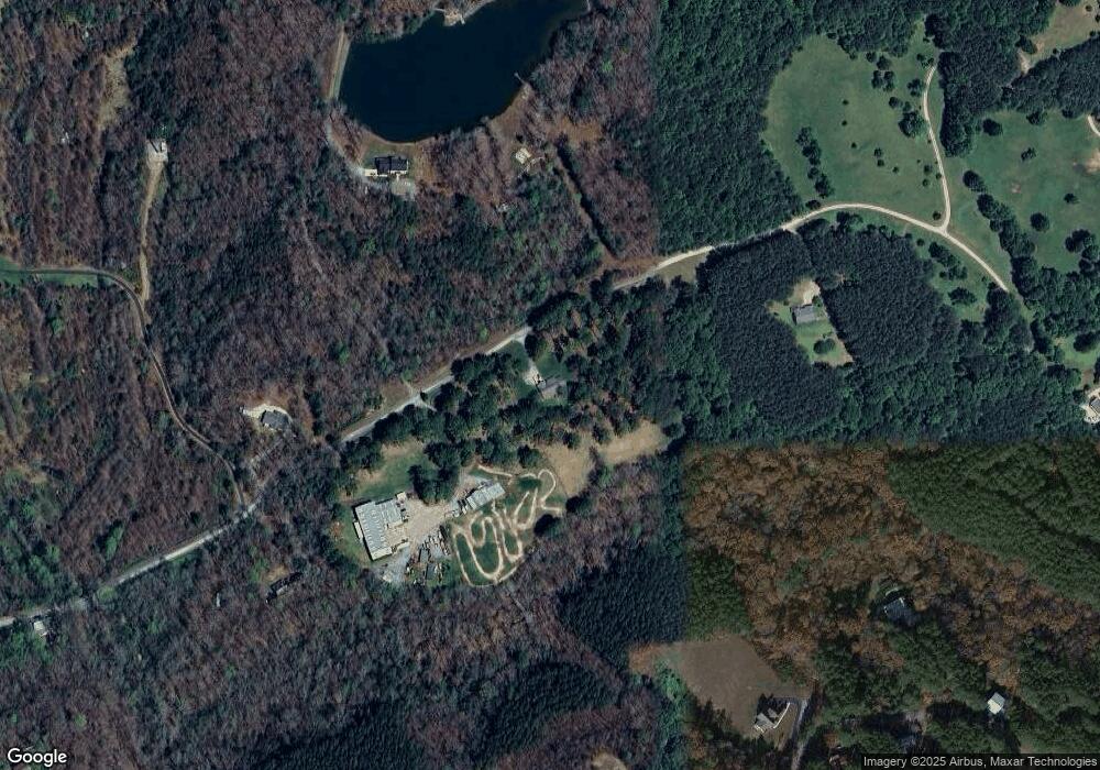
Map
Nearby Homes
- 166 High Meadow Trail
- 86 Back Trail
- 138 Back Trail
- 47 Sage Brush Dr
- 4179 Highway 129 N
- 366 Barker Trail Rd
- 266 Slayton Gap Trail
- 94 Big Jim Rd
- 1031 Mountain Shadows Dr Unit 90A
- 76 Periwinkle Ln
- 988 Mountain Shadows Dr
- 961 Mountain Shadows Dr
- 941 Mountain Shadows Dr
- 175 Yogi Bear Blvd
- 113 Barker Trail Rd
- 32 Yogi Bear Blvd
- 38 Yogi Bear Blvd
- 19 Yogi Bear Blvd Unit B29
- 57 Beehive Trail
- 0 Twin Lakes Rd Unit 10569553
- 513 Tolhurst Rd
- 768 Tolhurst Rd
- 403 Tolhurst Rd
- 571 High Meadow Trail
- 663 High Meadow Trail
- 461 High Meadow Trail Unit 5
- 461 High Meadow Trail
- 515 Tolhurst Rd
- 614 High Meadow Trail
- 402 Tolhurst Rd
- 00 High Meadow Trail
- 215 High Meadow Trail
- 223 High Meadow Trail Unit 3
- 223 High Meadow Trail
- 369 High Meadow Trail
- 219 High Meadow Trail Unit 3/T2
- 219 High Meadow Trail Unit 3
- 219 High Meadow Trail
- 448 High Meadow Trail
- 654 High Meadow Trail