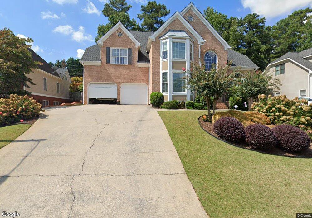
5865 Brookstone Walk NW Unit XI Acworth, GA 30101
Estimated Value: $567,000 - $681,000
4
Beds
4
Baths
3,284
Sq Ft
$188/Sq Ft
Est. Value
About This Home
This home is located at 5865 Brookstone Walk NW Unit XI, Acworth, GA 30101 and is currently estimated at $618,593, approximately $188 per square foot. 5865 Brookstone Walk NW Unit XI is a home located in Cobb County with nearby schools including Ford Elementary School, Durham Middle School, and Harrison High School.
Ownership History
Date
Name
Owned For
Owner Type
Purchase Details
Closed on
Nov 2, 1998
Sold by
Logan David C and Logan Joanne S
Bought by
Kirby Stephen A and Kirby Patricia A
Current Estimated Value
Home Financials for this Owner
Home Financials are based on the most recent Mortgage that was taken out on this home.
Original Mortgage
$200,000
Outstanding Balance
$43,561
Interest Rate
6.84%
Mortgage Type
New Conventional
Estimated Equity
$575,032
Create a Home Valuation Report for This Property
The Home Valuation Report is an in-depth analysis detailing your home's value as well as a comparison with similar homes in the area
Home Values in the Area
Average Home Value in this Area
Purchase History
| Date | Buyer | Sale Price | Title Company |
|---|---|---|---|
| Kirby Stephen A | $274,400 | -- |
Source: Public Records
Mortgage History
| Date | Status | Borrower | Loan Amount |
|---|---|---|---|
| Open | Kirby Stephen A | $200,000 |
Source: Public Records
Tax History Compared to Growth
Tax History
| Year | Tax Paid | Tax Assessment Tax Assessment Total Assessment is a certain percentage of the fair market value that is determined by local assessors to be the total taxable value of land and additions on the property. | Land | Improvement |
|---|---|---|---|---|
| 2025 | $1,550 | $239,848 | $60,000 | $179,848 |
| 2024 | $1,610 | $258,336 | $60,000 | $198,336 |
| 2023 | $1,231 | $200,476 | $26,000 | $174,476 |
| 2022 | $1,437 | $200,476 | $26,000 | $174,476 |
| 2021 | $1,295 | $153,160 | $26,000 | $127,160 |
| 2020 | $1,231 | $131,732 | $26,000 | $105,732 |
| 2019 | $1,231 | $131,732 | $26,000 | $105,732 |
| 2018 | $1,210 | $124,596 | $26,000 | $98,596 |
| 2017 | $1,054 | $124,596 | $26,000 | $98,596 |
| 2016 | $1,029 | $115,908 | $24,800 | $91,108 |
| 2015 | $1,145 | $129,872 | $23,200 | $106,672 |
| 2014 | $1,165 | $129,872 | $0 | $0 |
Source: Public Records
Map
Nearby Homes
- 5881 Brookstone Walk NW
- 002 Knob Creek Ct NW
- 5830 Brookstone Walk NW
- 001 Amber Glow Ln NW
- 1670 Knob Creek Ct NW
- 5894 Amber Glow Ln
- 1391 Benbrooke Ln NW
- 1382 Benbrooke Ln NW
- The Brooks Plan at Woodford
- The Pinehurst Plan at Woodford
- The Vinings Plan at Woodford
- The Evans Plan at Woodford
- The Rebecca Plan at Woodford
- The Bainbridge Plan at Woodford
- The Thomson Plan at Woodford
- The Dillard Plan at Woodford
- The Ashburn Plan at Woodford
- The Oxford Plan at Woodford
- 1707 Kenbrook Ct NW
- 6065 Victoria Falls Overlook NW
- 5867 Brookstone Walk NW
- 5863 Brookstone Walk NW
- 5869 Brookstone Walk NW
- 5864 Brookstone Walk NW
- 5866 Brookstone Walk NW
- 5868 Brookstone Walk NW
- 5861 Brookstone Walk NW
- 5871 Brookstone Walk NW
- 5862 Brookstone Walk NW
- 5870 Brookstone Walk NW
- 1602 Fernstone Dr NW
- 1610 Fernstone Dr NW
- 5859 Brookstone Walk NW
- 5873 Brookstone Walk NW Unit 11
- 1608 Fernstone Dr NW
- 1612 Fernstone Dr NW
- 1612 Fernstone Dr NW Unit 31
- 5860 Brookstone Walk NW
- 1606 Fernstone Dr NW
- 5872 Brookstone Walk NW