5865 Cincinnati Dayton Rd Liberty Township, OH 45044
Estimated Value: $854,000 - $1,017,000
3
Beds
5
Baths
3,644
Sq Ft
$250/Sq Ft
Est. Value
About This Home
This home is located at 5865 Cincinnati Dayton Rd, Liberty Township, OH 45044 and is currently estimated at $912,720, approximately $250 per square foot. 5865 Cincinnati Dayton Rd is a home located in Butler County with nearby schools including Independence Elementary School, Liberty Junior School, and Lakota East High School.
Ownership History
Date
Name
Owned For
Owner Type
Purchase Details
Closed on
Jan 29, 2004
Sold by
Brown B Dean and Brown Lozelle
Bought by
Brown Dean and Brown Lozelle M
Current Estimated Value
Home Financials for this Owner
Home Financials are based on the most recent Mortgage that was taken out on this home.
Original Mortgage
$333,000
Interest Rate
5.81%
Mortgage Type
New Conventional
Purchase Details
Closed on
Jun 12, 2000
Sold by
Brown B Dean
Bought by
Brown B Dean and Brown Lozelle
Home Financials for this Owner
Home Financials are based on the most recent Mortgage that was taken out on this home.
Original Mortgage
$376,000
Interest Rate
7.75%
Purchase Details
Closed on
Jun 1, 1987
Create a Home Valuation Report for This Property
The Home Valuation Report is an in-depth analysis detailing your home's value as well as a comparison with similar homes in the area
Home Values in the Area
Average Home Value in this Area
Purchase History
| Date | Buyer | Sale Price | Title Company |
|---|---|---|---|
| Brown Dean | -- | -- | |
| Brown B Dean | -- | -- | |
| Brown B Dean | $470,000 | -- | |
| -- | $25,000 | -- |
Source: Public Records
Mortgage History
| Date | Status | Borrower | Loan Amount |
|---|---|---|---|
| Closed | Brown Dean | $333,000 | |
| Closed | Brown B Dean | $376,000 | |
| Closed | Brown Dean | $33,000 |
Source: Public Records
Tax History Compared to Growth
Tax History
| Year | Tax Paid | Tax Assessment Tax Assessment Total Assessment is a certain percentage of the fair market value that is determined by local assessors to be the total taxable value of land and additions on the property. | Land | Improvement |
|---|---|---|---|---|
| 2024 | $9,001 | $237,370 | $42,610 | $194,760 |
| 2023 | $8,804 | $237,360 | $42,610 | $194,750 |
| 2022 | $7,637 | $167,420 | $42,610 | $124,810 |
| 2021 | $7,783 | $167,420 | $42,610 | $124,810 |
| 2020 | $7,986 | $167,420 | $42,610 | $124,810 |
| 2019 | $14,661 | $152,200 | $42,610 | $109,590 |
| 2018 | $8,070 | $152,200 | $42,610 | $109,590 |
| 2017 | $8,213 | $152,200 | $42,610 | $109,590 |
| 2016 | $7,420 | $137,270 | $42,610 | $94,660 |
| 2015 | $7,435 | $137,270 | $42,610 | $94,660 |
| 2014 | $6,793 | $137,270 | $42,610 | $94,660 |
| 2013 | $6,793 | $122,320 | $41,210 | $81,110 |
Source: Public Records
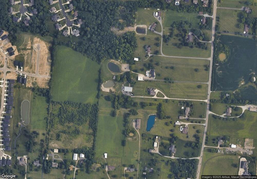
Map
Nearby Homes
- 7644 Millikin Rd
- 5913 Stones Throw Way
- 7497 Burton Dr
- 7120 Shady Brook Bend
- 7108 Shady Brook Bend
- 5602 Schlade Ct
- 7113 Shady Brook Bend
- 7377 Burton Dr
- 5933 Old Pebble Path
- 7221 Kyles Station Rd
- 6335 Gem Stone Dr
- 1 Kyles Station Rd
- 6919 Millikin Rd
- 5326 Elmwood Ln
- 7542 Hickory Knoll Dr
- 6405 Cincinnati Dayton Rd
- 7095 Kyles Station Rd
- 7241 Stonebrook Ct
- 7574 Woodmere Ct
- 5169 Oak Forest Dr
- 5851 Cincinnati Dayton Rd
- 7488 Millikin Rd
- 5829 Cincinnati Dayton Rd
- 5903 Cincinnati Dayton Rd
- 5909 Cincinnati Dayton Rd
- 5953 Cincinnati Dayton Rd
- 5807 Kempton Ct
- 5797 Cincinnati Dayton Rd
- 5909 Treeside Dr
- 5825 Cincinnati Dayton Rd
- 5788 Kempton Ct
- 5797 Kempton Ct
- 5906 Treeside Dr
- 5903 Treeside Dr
- 7530 Millikin Rd
- 5850 Round Rock Run
- 7416 Millikin Rd
- 5840 Round Rock Run
- 5830 Round Rock Run
- 5820 Round Rock Run