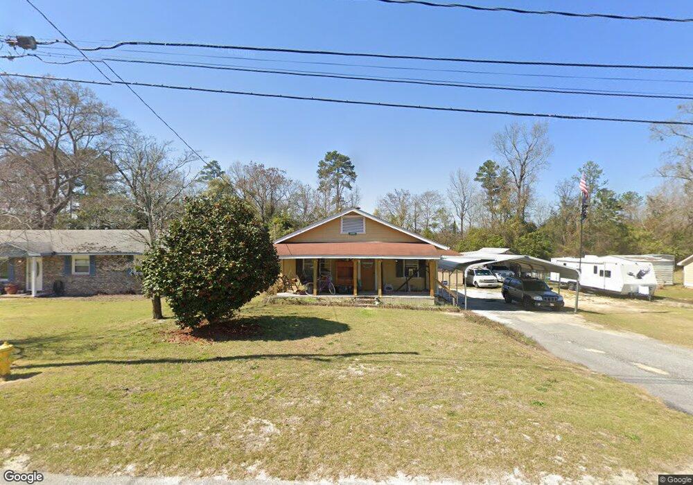
5865 Fornof Rd Columbus, GA 31909
Midland NeighborhoodEstimated Value: $119,042 - $137,000
2
Beds
2
Baths
900
Sq Ft
$143/Sq Ft
Est. Value
About This Home
This home is located at 5865 Fornof Rd, Columbus, GA 31909 and is currently estimated at $128,511, approximately $142 per square foot. 5865 Fornof Rd is a home located in Muscogee County with nearby schools including Waddell Elementary School, Midland Middle School, and Shaw High School.
Ownership History
Date
Name
Owned For
Owner Type
Purchase Details
Closed on
Jun 2, 2013
Sold by
Peters James M L
Bought by
Peters Rodney Keith and Mounts Rhonda Peters
Current Estimated Value
Purchase Details
Closed on
Jul 3, 2007
Sold by
Lawrence Barbara Ellen and Patterson Shirley A
Bought by
Peters James M L
Purchase Details
Closed on
Feb 5, 2007
Sold by
Peters James M L
Bought by
Peters James M L and Lawrence Barbara Ellen
Create a Home Valuation Report for This Property
The Home Valuation Report is an in-depth analysis detailing your home's value as well as a comparison with similar homes in the area
Home Values in the Area
Average Home Value in this Area
Purchase History
| Date | Buyer | Sale Price | Title Company |
|---|---|---|---|
| Peters Rodney Keith | -- | -- | |
| Peters James M L | $43,000 | None Available | |
| Peters James M L | -- | None Available |
Source: Public Records
Tax History Compared to Growth
Tax History
| Year | Tax Paid | Tax Assessment Tax Assessment Total Assessment is a certain percentage of the fair market value that is determined by local assessors to be the total taxable value of land and additions on the property. | Land | Improvement |
|---|---|---|---|---|
| 2025 | $768 | $37,348 | $10,248 | $27,100 |
| 2024 | $766 | $37,348 | $10,248 | $27,100 |
| 2023 | $77 | $37,348 | $10,248 | $27,100 |
| 2022 | $799 | $32,008 | $10,248 | $21,760 |
| 2021 | $792 | $32,792 | $10,248 | $22,544 |
| 2020 | $793 | $32,792 | $10,248 | $22,544 |
| 2019 | $797 | $32,792 | $10,248 | $22,544 |
| 2018 | $797 | $32,792 | $10,248 | $22,544 |
| 2017 | $1,348 | $32,792 | $10,248 | $22,544 |
| 2016 | $622 | $15,085 | $5,049 | $10,036 |
| 2015 | $249 | $15,085 | $5,049 | $10,036 |
| 2014 | $250 | $15,085 | $5,049 | $10,036 |
| 2013 | -- | $15,085 | $5,049 | $10,036 |
Source: Public Records
Map
Nearby Homes
- 5791 Bishop Dr
- 5408 Old Dominion Rd
- 5324 Colony Dr
- 5966 Fornof Rd
- 5422 Colony Dr
- 6127 Stony Creek Dr
- 5028 Warm Springs Rd
- 5804 Dearborn Ave
- 6137 Stoneway Dr
- 6263 Potomac Cir
- 5623 Hodges Dr
- 5621 Hodges Dr
- 5619 Hodges Dr
- 6333 Stony Creek Dr
- 5378 Misty Ln
- 6 Jamestown Ct
- 4847 Warm Springs Rd
- 6251 Rockefeller Dr
- 6222 Goodwin Dr
- 5045 Old Post Rd
- 5873 Fornof Rd
- 5857 Fornof Rd
- 5853 Fornof Rd
- 5881 Fornof Rd
- 5864 Fornof Rd
- 5845 Fornof Rd
- 5872 Fornof Rd
- 5856 Fornof Rd
- 5348 McCaghren Dr
- 5344 McCaghren Dr
- 5352 McCaghren Dr
- 5340 McCaghren Dr
- 5356 McCaghren Dr
- 5889 Fornof Rd
- 5880 Fornof Rd
- 5846 Fornof Rd
- 5841 Fornof Rd
- 5336 McCaghren Dr
- 5360 McCaghren Dr
- 5888 Fornof Rd