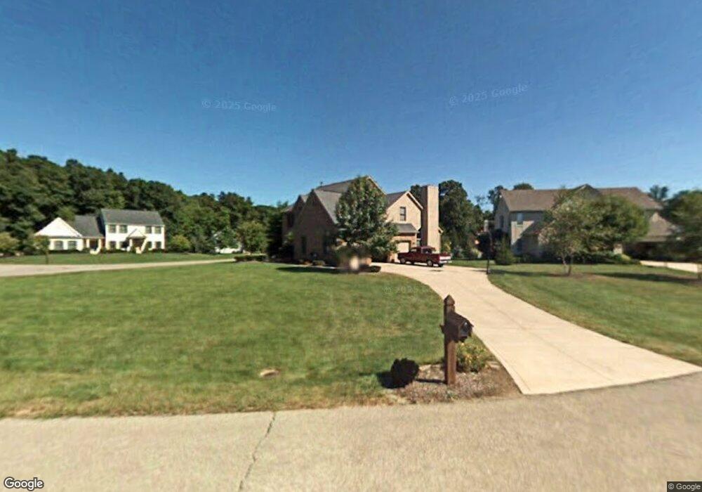
5865 Maritime Ct Unit L 19 Lewis Center, OH 43035
Orange NeighborhoodEstimated Value: $620,000 - $657,000
4
Beds
4
Baths
2,807
Sq Ft
$227/Sq Ft
Est. Value
About This Home
This home is located at 5865 Maritime Ct Unit L 19, Lewis Center, OH 43035 and is currently estimated at $636,917, approximately $226 per square foot. 5865 Maritime Ct Unit L 19 is a home located in Delaware County with nearby schools including Alum Creek Elementary School, Olentangy Shanahan Middle School, and Olentangy High School.
Ownership History
Date
Name
Owned For
Owner Type
Purchase Details
Closed on
Mar 20, 2018
Sold by
Schwing Donna J
Bought by
Schwing Lawrence S
Current Estimated Value
Home Financials for this Owner
Home Financials are based on the most recent Mortgage that was taken out on this home.
Original Mortgage
$152,700
Outstanding Balance
$131,006
Interest Rate
4.43%
Mortgage Type
New Conventional
Estimated Equity
$505,911
Purchase Details
Closed on
Jul 21, 1997
Sold by
Kotala Lorrianne
Bought by
Schwing Lawrence S and Schwing Donna J
Purchase Details
Closed on
Dec 16, 1996
Sold by
Zimmer Patrick J
Bought by
Kotala Lorianne and Paul Zbigniew R
Home Financials for this Owner
Home Financials are based on the most recent Mortgage that was taken out on this home.
Original Mortgage
$216,350
Interest Rate
7.25%
Mortgage Type
New Conventional
Create a Home Valuation Report for This Property
The Home Valuation Report is an in-depth analysis detailing your home's value as well as a comparison with similar homes in the area
Home Values in the Area
Average Home Value in this Area
Purchase History
| Date | Buyer | Sale Price | Title Company |
|---|---|---|---|
| Schwing Lawrence S | -- | None Available | |
| Schwing Lawrence S | $286,000 | -- | |
| Kotala Lorianne | $270,450 | -- |
Source: Public Records
Mortgage History
| Date | Status | Borrower | Loan Amount |
|---|---|---|---|
| Open | Schwing Lawrence S | $152,700 | |
| Previous Owner | Kotala Lorianne | $216,350 | |
| Closed | Schwing Lawrence S | -- |
Source: Public Records
Tax History Compared to Growth
Tax History
| Year | Tax Paid | Tax Assessment Tax Assessment Total Assessment is a certain percentage of the fair market value that is determined by local assessors to be the total taxable value of land and additions on the property. | Land | Improvement |
|---|---|---|---|---|
| 2024 | $9,627 | $174,580 | $35,350 | $139,230 |
| 2023 | $9,662 | $174,580 | $35,350 | $139,230 |
| 2022 | $8,606 | $126,460 | $24,500 | $101,960 |
| 2021 | $8,654 | $126,460 | $24,500 | $101,960 |
| 2020 | $8,696 | $126,460 | $24,500 | $101,960 |
| 2019 | $7,771 | $117,180 | $24,500 | $92,680 |
| 2018 | $7,806 | $117,180 | $24,500 | $92,680 |
| 2017 | $7,254 | $104,760 | $21,880 | $82,880 |
| 2016 | $7,433 | $104,760 | $21,880 | $82,880 |
| 2015 | $6,782 | $104,760 | $21,880 | $82,880 |
| 2014 | $6,879 | $104,760 | $21,880 | $82,880 |
| 2013 | $7,038 | $104,760 | $21,880 | $82,880 |
Source: Public Records
Map
Nearby Homes
- 3177 Shoreline Dr
- 2840 Waukeegan Ave
- 2946 Lewis Center Rd
- 2567 Carmel Dr
- 5669 Maplewood Ct
- 2868 Lewis Center Rd
- 2515 Coltsbridge Dr
- 2771 Abbey Knoll Dr
- 2948 Prairie Dr
- 6440 Morningside Dr
- 1915 Myrtle St
- 5491 Sandy Dr
- 6566 Morningside Dr
- 3144 Abbey Knoll Dr
- 2070 Alum Village Dr
- 1929 Rocklake Ct
- 3290 Briarwood Ln
- 3186 Briarwood Ln
- 3175 Briarwood Ln
- 3277 Briarwood Ln
- 5865 Maritime Ct
- 5881 Maritime Ct
- 5881 Maritime Ct
- 18 Maritime Ct
- 3254 Harbor Dr
- 5827 Tidal Ct
- 5895 Maritime Ct
- 3219 Harbor Dr
- 5866 Maritime Ct
- 3270 Harbor Dr
- 5900 Maritime Ct
- 3287 Harbor Dr
- 3195 Harbor Dr
- 5888 Maritime Ct
- 5805 Tidal Ct
- 5896 Maritime Ct
- 3170 Waterford Dr
- 3150 Waterford Dr
- 5790 Tidal Ct
- 3294 Harbor Dr