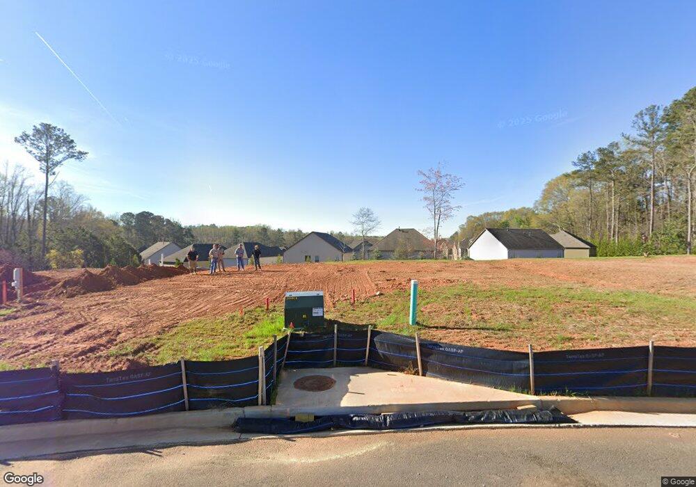
5865 Maxham Rd Austell, GA 30168
Estimated Value: $315,403 - $340,000
2
Beds
2
Baths
1,442
Sq Ft
$228/Sq Ft
Est. Value
About This Home
This home is located at 5865 Maxham Rd, Austell, GA 30168 and is currently estimated at $328,468, approximately $227 per square foot. 5865 Maxham Rd is a home located in Cobb County with nearby schools including Austell Elementary School, Garrett Middle School, and DELTA STEAM Academy.
Ownership History
Date
Name
Owned For
Owner Type
Purchase Details
Closed on
Dec 30, 2024
Sold by
Sdc Gwinnett Llc and Sdh Atlanta Llc
Bought by
Wells Ebere and Wells Stephan
Current Estimated Value
Home Financials for this Owner
Home Financials are based on the most recent Mortgage that was taken out on this home.
Original Mortgage
$398,027
Outstanding Balance
$396,466
Interest Rate
6.12%
Mortgage Type
FHA
Estimated Equity
-$69,890
Purchase Details
Closed on
Dec 20, 2024
Sold by
Sanders Park 168 Llc
Bought by
Sdh Atlanta Llc
Home Financials for this Owner
Home Financials are based on the most recent Mortgage that was taken out on this home.
Original Mortgage
$398,027
Outstanding Balance
$396,466
Interest Rate
6.12%
Mortgage Type
FHA
Estimated Equity
-$69,890
Purchase Details
Closed on
Sep 26, 2022
Sold by
Sanders Alan Marvin
Bought by
Sanders Park 168 Llc
Create a Home Valuation Report for This Property
The Home Valuation Report is an in-depth analysis detailing your home's value as well as a comparison with similar homes in the area
Home Values in the Area
Average Home Value in this Area
Purchase History
Date | Buyer | Sale Price | Title Company |
---|---|---|---|
Wells Ebere | $405,370 | None Listed On Document | |
Sdh Atlanta Llc | -- | None Listed On Document | |
Sanders Park 168 Llc | -- | -- | |
Sanders Park 168 Llc | $300,000 | -- |
Source: Public Records
Mortgage History
Date | Status | Borrower | Loan Amount |
---|---|---|---|
Open | Wells Ebere | $398,027 |
Source: Public Records
Tax History Compared to Growth
Tax History
Year | Tax Paid | Tax Assessment Tax Assessment Total Assessment is a certain percentage of the fair market value that is determined by local assessors to be the total taxable value of land and additions on the property. | Land | Improvement |
---|---|---|---|---|
2024 | $3,180 | $117,080 | $117,080 | -- |
2023 | $2,613 | $96,212 | $96,212 | $0 |
2022 | $2,504 | $91,528 | $60,764 | $30,764 |
2021 | $410 | $78,496 | $52,664 | $25,832 |
2020 | $374 | $66,344 | $40,512 | $25,832 |
2019 | $374 | $66,344 | $40,512 | $25,832 |
2018 | $314 | $46,352 | $23,292 | $23,060 |
2017 | $240 | $32,488 | $15,192 | $17,296 |
2016 | $242 | $32,488 | $15,192 | $17,296 |
2015 | $229 | $28,576 | $10,128 | $18,448 |
2014 | $205 | $25,960 | $0 | $0 |
Source: Public Records
Map
Nearby Homes
- 3016 Creekside Overlook Way
- 1215 Elowen Dr
- 2127 Apple Orchard Way
- 2149 Apple Orchard Way
- 2540 Ravencliff Dr Unit 155
- 2565 Ravencliff Dr Unit 74
- 2229 Polder Way
- 123 Ravencliff Dr Unit 80
- 147 Ravencliff Dr Unit 147
- 2060 Sanders Dr
- 84 Ravencliff Dr Unit 84
- 1234 Ravencliff Dr Unit 81
- 1234 Ravencliff Dr Unit 157
- 1017 Maxham Rd
- 1303 Cochise Cir
- 5812 Dogwood Cir
- 1932 Brenda Dr
- 5865 Maxham Rd
- 2067 Apple Orchard Way
- 2063 Apple Orchard Way
- 2075 Apple Orchard Way
- 2071 Apple Orchard Way
- 2079 Apple Orchard Way
- 2059 Apple Orchard Way
- 2083 Apple Orchard Way
- 5839 Maxham Rd
- 2055 Apple Orchard Way
- 2070 Apple Orchard Way
- 2087 Apple Orchard Way
- 2051 Apple Orchard Way
- 2080 Apple Orchard Way
- 2100 Apple Orchard Way
- 2047 Apple Orchard Way
- 2091 Apple Orchard Way
- 2040 Apple Orchard Way
- 2043 Apple Orchard Way
- 2104 Apple Orchard Way