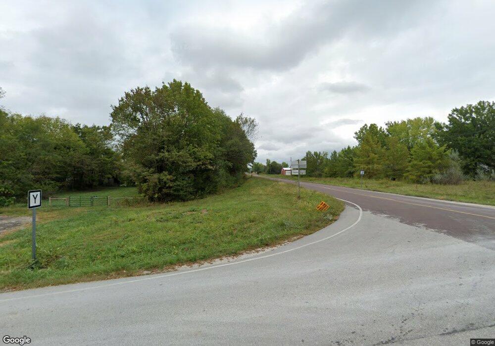
5865 State Road J Fulton, MO 65251
Estimated Value: $421,000 - $518,953
3
Beds
2
Baths
1,688
Sq Ft
$273/Sq Ft
Est. Value
About This Home
This home is located at 5865 State Road J, Fulton, MO 65251 and is currently estimated at $460,651, approximately $272 per square foot. 5865 State Road J is a home located in Callaway County with nearby schools including Fulton Senior High School.
Ownership History
Date
Name
Owned For
Owner Type
Purchase Details
Closed on
Apr 21, 2011
Sold by
Wells Fargo Bank Na
Bought by
Litty Quenna Diana
Current Estimated Value
Home Financials for this Owner
Home Financials are based on the most recent Mortgage that was taken out on this home.
Original Mortgage
$136,000
Outstanding Balance
$94,147
Interest Rate
4.95%
Mortgage Type
New Conventional
Estimated Equity
$366,504
Purchase Details
Closed on
May 24, 2010
Sold by
Nichols Anthony L and Nichols Vickie L
Bought by
Wells Fargo Bank Na
Create a Home Valuation Report for This Property
The Home Valuation Report is an in-depth analysis detailing your home's value as well as a comparison with similar homes in the area
Home Values in the Area
Average Home Value in this Area
Purchase History
| Date | Buyer | Sale Price | Title Company |
|---|---|---|---|
| Litty Quenna Diana | -- | -- | |
| Wells Fargo Bank Na | $121,229 | -- |
Source: Public Records
Mortgage History
| Date | Status | Borrower | Loan Amount |
|---|---|---|---|
| Open | Litty Quenna Diana | $136,000 |
Source: Public Records
Tax History Compared to Growth
Tax History
| Year | Tax Paid | Tax Assessment Tax Assessment Total Assessment is a certain percentage of the fair market value that is determined by local assessors to be the total taxable value of land and additions on the property. | Land | Improvement |
|---|---|---|---|---|
| 2024 | $2,228 | $36,431 | $0 | $0 |
| 2023 | $2,228 | $35,956 | $0 | $0 |
| 2022 | $2,187 | $35,956 | $1,304 | $34,652 |
| 2021 | $2,185 | $35,956 | $1,304 | $34,652 |
| 2020 | $2,212 | $35,956 | $1,304 | $34,652 |
| 2019 | $2,144 | $35,956 | $1,304 | $34,652 |
| 2018 | $2,214 | $35,982 | $1,330 | $34,652 |
| 2017 | $1,978 | $35,982 | $1,330 | $34,652 |
| 2016 | $2,025 | $35,590 | $0 | $0 |
| 2015 | $1,989 | $35,590 | $0 | $0 |
| 2014 | $1,988 | $35,570 | $0 | $0 |
Source: Public Records
Map
Nearby Homes
- 0 County Road 346
- 0000 N Millsite Rd
- 7930 S Ginn Ln
- 0 County Road 232
- LOT 1B Cr 358
- 1840 County Road 360
- 9851 Johnson Cemetery Rd
- 10281 E Englewood Rd
- 1324 State Highway Ww
- 3511 State Highway H
- 5539 Sillivan Dr
- 10969 E Bowling Ln
- 3769 van de Ville Dr
- TR. 3 E Vemers Ford Rd
- 8350 Dry Fork Acres Rd
- 1915 State Road Y
- 13877 S Rangeline Rd
- 4020 County Road 216
- TRACT 3 E Angel Ln
- TRACT 4 E Angel Ln
- 5849 State Road J
- 5841 State Road J
- 5895 State Road J
- 5850 State Road J
- 2000 County Road 334
- 5916 State Road J
- 2200 County Road 354
- 2080 County Road 334
- 5910 State Road J
- 5938 State Road J
- 5980 State Road J
- 2172 County Road 354
- 2172 County Road 354
- 5767 Wise Dr
- 5715 Wise Dr
- 5730 Wise Dr
- 5745 Wise Dr
- 5705 Wise Dr
- 5735 Wise Dr
- 5755 Wise Dr
