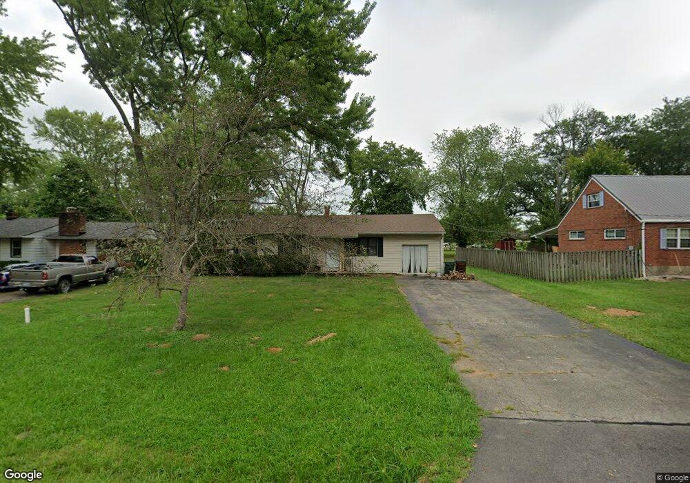
5866 Menno Dr Milford, OH 45150
Estimated Value: $222,269 - $317,000
3
Beds
1
Bath
1,300
Sq Ft
$203/Sq Ft
Est. Value
About This Home
This home is located at 5866 Menno Dr, Milford, OH 45150 and is currently estimated at $264,317, approximately $203 per square foot. 5866 Menno Dr is a home located in Clermont County with nearby schools including Milford Senior High School, St. Andrew - St. Elizabeth Ann Seton School, and St. Mark's Lutheran School.
Ownership History
Date
Name
Owned For
Owner Type
Purchase Details
Closed on
Jul 22, 1996
Sold by
Trst Gloria K Morris
Bought by
Davis William J and Davis Beverly J
Current Estimated Value
Home Financials for this Owner
Home Financials are based on the most recent Mortgage that was taken out on this home.
Original Mortgage
$73,800
Interest Rate
8.31%
Mortgage Type
New Conventional
Create a Home Valuation Report for This Property
The Home Valuation Report is an in-depth analysis detailing your home's value as well as a comparison with similar homes in the area
Home Values in the Area
Average Home Value in this Area
Purchase History
| Date | Buyer | Sale Price | Title Company |
|---|---|---|---|
| Davis William J | $82,500 | -- |
Source: Public Records
Mortgage History
| Date | Status | Borrower | Loan Amount |
|---|---|---|---|
| Previous Owner | Davis William J | $73,800 |
Source: Public Records
Tax History Compared to Growth
Tax History
| Year | Tax Paid | Tax Assessment Tax Assessment Total Assessment is a certain percentage of the fair market value that is determined by local assessors to be the total taxable value of land and additions on the property. | Land | Improvement |
|---|---|---|---|---|
| 2024 | $2,169 | $47,600 | $10,850 | $36,750 |
| 2023 | $2,191 | $47,600 | $10,850 | $36,750 |
| 2022 | $2,042 | $33,780 | $7,700 | $26,080 |
| 2021 | $2,044 | $33,780 | $7,700 | $26,080 |
| 2020 | $1,960 | $33,780 | $7,700 | $26,080 |
| 2019 | $2,222 | $36,370 | $11,760 | $24,610 |
| 2018 | $2,223 | $36,370 | $11,760 | $24,610 |
| 2017 | $2,183 | $36,370 | $11,760 | $24,610 |
| 2016 | $2,183 | $32,480 | $10,500 | $21,980 |
| 2015 | $2,036 | $32,480 | $10,500 | $21,980 |
| 2014 | $2,036 | $32,480 | $10,500 | $21,980 |
| 2013 | $2,195 | $33,950 | $10,500 | $23,450 |
Source: Public Records
Map
Nearby Homes
- 5897 Cook Rd
- 977 Newberry Ave
- 5612 Flagstone Way
- 957 Tarragon Ln
- 1010 Newberry Ave
- 5884 Stonebridge Cir
- 5880 Stonebridge Cir
- 1007 Valley View Dr
- 772 Price Knoll Ln
- 1093 Broadview Place
- 5702 Sherwood Dr
- 1706 Cottontail Dr
- 1139 Willowwood Dr
- 732 St Rt 28
- 2403 Traverse Creek Dr
- 5671 Crooked Tree Ln
- 0 St Rt 131 Unit 1840125
- 5674 Windsong Ln
- 307 E Stoneridge Dr
- 826 Ohio 131