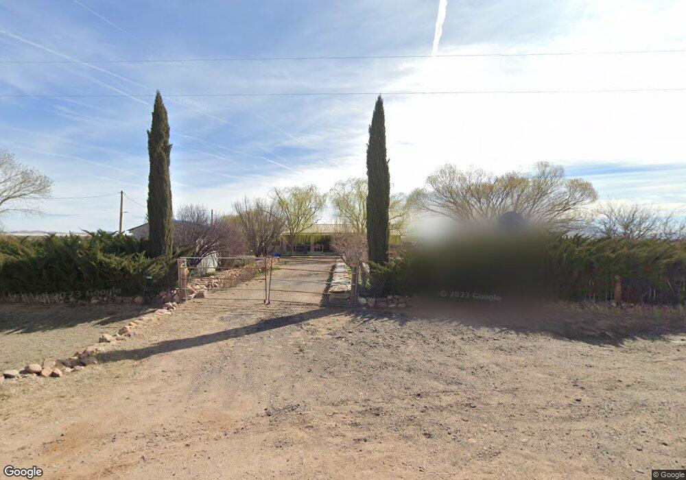
5866 N Circle I Rd Willcox, AZ 85643
Estimated Value: $248,812 - $430,000
--
Bed
--
Bath
2,515
Sq Ft
$127/Sq Ft
Est. Value
About This Home
This home is located at 5866 N Circle I Rd, Willcox, AZ 85643 and is currently estimated at $320,453, approximately $127 per square foot. 5866 N Circle I Rd is a home located in Cochise County with nearby schools including Willcox Elementary School, Willcox Middle School, and Willcox High School.
Ownership History
Date
Name
Owned For
Owner Type
Purchase Details
Closed on
Apr 24, 2013
Sold by
Gonzalez Florencio and Gonzalez Elvia S
Bought by
Gonzalez Victor
Current Estimated Value
Home Financials for this Owner
Home Financials are based on the most recent Mortgage that was taken out on this home.
Original Mortgage
$92,000
Interest Rate
3.6%
Mortgage Type
New Conventional
Purchase Details
Closed on
Dec 12, 2006
Sold by
Gonzalez Florencio and Gonzalez Elvia S
Bought by
Gonzalez Florencio and Gonzalez Elvia S
Create a Home Valuation Report for This Property
The Home Valuation Report is an in-depth analysis detailing your home's value as well as a comparison with similar homes in the area
Home Values in the Area
Average Home Value in this Area
Purchase History
| Date | Buyer | Sale Price | Title Company |
|---|---|---|---|
| Gonzalez Victor | -- | None Available | |
| Gonzalez Florencio | -- | None Available |
Source: Public Records
Mortgage History
| Date | Status | Borrower | Loan Amount |
|---|---|---|---|
| Closed | Gonzalez Victor | $92,000 |
Source: Public Records
Tax History Compared to Growth
Tax History
| Year | Tax Paid | Tax Assessment Tax Assessment Total Assessment is a certain percentage of the fair market value that is determined by local assessors to be the total taxable value of land and additions on the property. | Land | Improvement |
|---|---|---|---|---|
| 2025 | $1,696 | $21,286 | $1,200 | $20,086 |
| 2024 | $1,696 | $17,535 | $1,200 | $16,335 |
| 2023 | $1,593 | $14,905 | $1,200 | $13,705 |
| 2022 | $1,519 | $13,452 | $1,200 | $12,252 |
| 2021 | $1,531 | $12,956 | $1,200 | $11,756 |
| 2020 | $1,537 | $0 | $0 | $0 |
| 2019 | $1,628 | $0 | $0 | $0 |
| 2018 | $1,572 | $0 | $0 | $0 |
| 2017 | $1,586 | $0 | $0 | $0 |
| 2016 | $1,758 | $0 | $0 | $0 |
| 2015 | -- | $0 | $0 | $0 |
Source: Public Records
Map
Nearby Homes
- 150 E Saddle Dr
- 6464 N 6 Gun Rd
- 6464 N Six Gun Rd
- 2.33 ac Mule Deer Dr Unit 114
- 5008 N Joe Hines Rd
- 2 Lots Saddle Dr Unit 58-59
- 2565 W Old Stewart Rd
- 36.8 Acres E Old Stewart Rd Unit 53
- 3727 N Wadsworth Rd
- 4530 W Jericho Dr
- 3628 El Sol Ln Unit 27
- 4055 N Fort Grant Rd
- 15 acres W Packing Plant Rd
- 25 acres W Packing Plant Rd
- 3692 W Dearing Rd
- 5734 N Fort Grant Rd
- 3865 Dearing Rd
- TBD W Old Stewart Rd Unit 19
- 260 ACRES W Old Stewart Rd
- 3 Joe Hines Rd
- 0 S Six Gun Unit 21512012
- TBD 6 Gun Rd Unit 61
- 150 Saddle Dr
- 0 Six Gun Unit 20805568
- 0 Six Gun Unit 21217087
- 0 Six Gun Unit 21313988
- 6101 N Circle I Rd
- 0 Round up Rd Unit 21324368
- 0 Round up Rd Unit 20805566
- 0 Round up Rd Unit 20814051
- 0 Round up Rd Unit 20814049
- 1 acre Round up Rd
- 0 Round up Rd Unit 49 21516156
- 0 Round up Rd
- 1 Ac. Round up Rd
- 6065 N Roundup Rd
- 6166 N Six Gun Rd
- 184 E Mesquite Dr
- 6190 N Circle I Rd
- 6303 N Circle I Rd