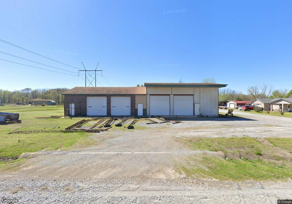
5866 S 437 Locust Grove, OK 74352
Estimated Value: $308,000 - $435,922
3
Beds
2
Baths
1,848
Sq Ft
$208/Sq Ft
Est. Value
About This Home
This home is located at 5866 S 437, Locust Grove, OK 74352 and is currently estimated at $384,641, approximately $208 per square foot. 5866 S 437 is a home located in Mayes County with nearby schools including Locust Grove Early Lrning Center, Locust Grove Upper Elementary School, and Locust Grove Middle School.
Ownership History
Date
Name
Owned For
Owner Type
Purchase Details
Closed on
Feb 15, 2023
Sold by
Lovelady Ronald and Lovelady Nancy
Bought by
Sitsler James and Sitsler Joice
Current Estimated Value
Purchase Details
Closed on
Nov 9, 2004
Sold by
Sitsler Uj and Sitsler Lena
Bought by
Sitsler Joyce
Purchase Details
Closed on
May 22, 2003
Sold by
Best Dump Trucking
Bought by
Sitsler Uj and Sitsler Joyce
Create a Home Valuation Report for This Property
The Home Valuation Report is an in-depth analysis detailing your home's value as well as a comparison with similar homes in the area
Home Values in the Area
Average Home Value in this Area
Purchase History
| Date | Buyer | Sale Price | Title Company |
|---|---|---|---|
| Sitsler James | -- | -- | |
| Sitsler James | -- | None Listed On Document | |
| Sitsler Joyce | -- | -- | |
| Sitsler Uj | $203,000 | -- |
Source: Public Records
Tax History Compared to Growth
Tax History
| Year | Tax Paid | Tax Assessment Tax Assessment Total Assessment is a certain percentage of the fair market value that is determined by local assessors to be the total taxable value of land and additions on the property. | Land | Improvement |
|---|---|---|---|---|
| 2025 | $2,409 | $27,704 | $3,606 | $24,098 |
| 2024 | $2,409 | $26,898 | $3,501 | $23,397 |
| 2023 | $2,409 | $26,114 | $3,443 | $22,671 |
| 2022 | $2,197 | $25,354 | $3,349 | $22,005 |
| 2021 | $2,176 | $24,615 | $3,222 | $21,393 |
| 2020 | $2,095 | $23,405 | $2,908 | $20,497 |
| 2019 | $2,033 | $22,723 | $2,637 | $20,086 |
| 2018 | $2,011 | $22,061 | $2,405 | $19,656 |
| 2017 | $1,868 | $20,555 | $1,876 | $18,679 |
| 2016 | $1,779 | $20,070 | $1,876 | $18,194 |
| 2015 | $1,780 | $19,485 | $1,876 | $17,609 |
| 2014 | $1,726 | $18,918 | $1,876 | $17,042 |
Source: Public Records
Map
Nearby Homes
- 7862 S 436
- 381 S 437
- 1544 E 565
- 0 N 435 Rd Unit 2524163
- 0 N 435 Rd Unit 2545167
- 1819 E 600
- 1436 E 550
- 3170 W 577
- 2940 E 560 Rd
- 62 Sportsmans Dr
- 2365 Deer Run
- 981 Elm Cir
- 801 N Osage Ave
- 0 S 043 Rd Unit 2512653
- 1294 Old Highway 33
- 1 N Navajo Ave
- 1201 N Kiowa St
- 901 N Hopi St
- 207 Orange St
- 0 Orange St
- 11241 S 438
- 5500 E 550
- 0 SE 582 Trail
- 264 SE 582 Trail
- 5630 S 4395
- 7497 S 438
- 329 SE 582 Trail
- 385 SE 582 Trail
- 446 SE 581 Trail
- 510 SE 581
- 583 Chouteau Point Dr
- 256 SE 581 Cir
- 571 Chouteau Point Dr
- 525 SE 582 Trail
- Ns445 Hwy 412
- 545 Chouteau Point Dr
- 545 Chouteau Point Dr
- 136 SE 581 Trail
- 245 Chouteau Point Dr
- 165 SE 581 Trail