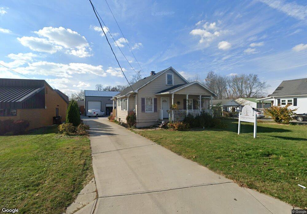
5867 Cook Rd Milford, OH 45150
Estimated Value: $272,967
3
Beds
2
Baths
968
Sq Ft
$282/Sq Ft
Est. Value
About This Home
This home is located at 5867 Cook Rd, Milford, OH 45150 and is currently estimated at $272,967, approximately $281 per square foot. 5867 Cook Rd is a home located in Clermont County with nearby schools including Milford Senior High School.
Ownership History
Date
Name
Owned For
Owner Type
Purchase Details
Closed on
Feb 26, 2018
Sold by
Michelson Matthew Olaf and Michelson Julie A
Bought by
Elkowitz Bradley P
Current Estimated Value
Home Financials for this Owner
Home Financials are based on the most recent Mortgage that was taken out on this home.
Original Mortgage
$90,000
Outstanding Balance
$76,698
Interest Rate
4.15%
Mortgage Type
Seller Take Back
Estimated Equity
$196,269
Purchase Details
Closed on
Oct 15, 2004
Sold by
Drewry Bruce and Drewry Orene
Bought by
Michelson Matthew Olaf and Michelson Julie A
Purchase Details
Closed on
Jan 15, 1997
Sold by
Parchman William J
Bought by
Benz Donald I and Benz Lydia
Purchase Details
Closed on
Sep 1, 1988
Create a Home Valuation Report for This Property
The Home Valuation Report is an in-depth analysis detailing your home's value as well as a comparison with similar homes in the area
Home Values in the Area
Average Home Value in this Area
Purchase History
| Date | Buyer | Sale Price | Title Company |
|---|---|---|---|
| Elkowitz Bradley P | $150,000 | -- | |
| Michelson Matthew Olaf | $122,000 | -- | |
| Benz Donald I | $66,000 | -- | |
| -- | $55,200 | -- |
Source: Public Records
Mortgage History
| Date | Status | Borrower | Loan Amount |
|---|---|---|---|
| Open | Elkowitz Bradley P | $90,000 |
Source: Public Records
Tax History Compared to Growth
Tax History
| Year | Tax Paid | Tax Assessment Tax Assessment Total Assessment is a certain percentage of the fair market value that is determined by local assessors to be the total taxable value of land and additions on the property. | Land | Improvement |
|---|---|---|---|---|
| 2024 | $5,040 | $59,330 | $18,410 | $40,920 |
| 2023 | $5,241 | $59,330 | $18,410 | $40,920 |
| 2022 | $4,129 | $41,510 | $18,410 | $23,100 |
| 2021 | $3,937 | $41,510 | $18,410 | $23,100 |
| 2020 | $3,843 | $41,510 | $18,410 | $23,100 |
| 2019 | $3,231 | $51,520 | $9,730 | $41,790 |
| 2018 | $3,158 | $51,520 | $9,730 | $41,790 |
| 2017 | $2,944 | $51,520 | $9,730 | $41,790 |
| 2016 | $2,851 | $42,320 | $7,840 | $34,480 |
| 2015 | $2,661 | $42,320 | $7,840 | $34,480 |
| 2014 | $2,661 | $42,320 | $7,840 | $34,480 |
| 2013 | $2,193 | $33,850 | $8,650 | $25,200 |
Source: Public Records
Map
Nearby Homes
- 5897 Cook Rd
- 977 Newberry Ave
- 1010 Newberry Ave
- 957 Tarragon Ln
- 1007 Valley View Dr
- 5612 Flagstone Way
- 5884 Stonebridge Cir
- 5880 Stonebridge Cir
- 1093 Broadview Place
- 1706 Cottontail Dr
- 5702 Sherwood Dr
- 1139 Willowwood Dr
- 772 Price Knoll Ln
- 2403 Traverse Creek Dr
- 5671 Crooked Tree Ln
- 5674 Windsong Ln
- 0 St Rt 131 Unit 1840125
- 1197 Ronlee Dr
- 5765 Lynne Clara Dr
- 1201 Sorrel Ln