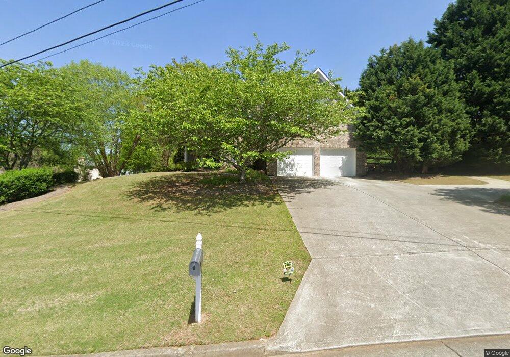
5867 Upland Ridge Way Buford, GA 30518
Estimated Value: $559,308 - $690,000
3
Beds
3
Baths
3,452
Sq Ft
$176/Sq Ft
Est. Value
About This Home
This home is located at 5867 Upland Ridge Way, Buford, GA 30518 and is currently estimated at $608,077, approximately $176 per square foot. 5867 Upland Ridge Way is a home located in Hall County with nearby schools including Friendship Elementary School, C.W. Davis Middle School, and Flowery Branch High School.
Ownership History
Date
Name
Owned For
Owner Type
Purchase Details
Closed on
Jul 20, 2022
Sold by
Gilreath Whitney
Bought by
Laidlaw Alex
Current Estimated Value
Purchase Details
Closed on
Dec 28, 2001
Sold by
Established Professionals Inc
Bought by
Laidlaw Alex W and Laidlaw Whitney
Home Financials for this Owner
Home Financials are based on the most recent Mortgage that was taken out on this home.
Original Mortgage
$177,350
Interest Rate
4.13%
Mortgage Type
New Conventional
Purchase Details
Closed on
Jan 22, 2001
Sold by
Casjohn Inc
Bought by
Established Professionals Inc
Create a Home Valuation Report for This Property
The Home Valuation Report is an in-depth analysis detailing your home's value as well as a comparison with similar homes in the area
Home Values in the Area
Average Home Value in this Area
Purchase History
| Date | Buyer | Sale Price | Title Company |
|---|---|---|---|
| Laidlaw Alex | -- | -- | |
| Laidlaw Alex W | $221,800 | -- | |
| Established Professionals Inc | -- | -- |
Source: Public Records
Mortgage History
| Date | Status | Borrower | Loan Amount |
|---|---|---|---|
| Previous Owner | Laidlaw Alex W | $177,350 |
Source: Public Records
Tax History Compared to Growth
Tax History
| Year | Tax Paid | Tax Assessment Tax Assessment Total Assessment is a certain percentage of the fair market value that is determined by local assessors to be the total taxable value of land and additions on the property. | Land | Improvement |
|---|---|---|---|---|
| 2024 | $4,372 | $173,600 | $34,000 | $139,600 |
| 2023 | $3,939 | $171,320 | $32,680 | $138,640 |
| 2022 | $3,738 | $142,640 | $32,680 | $109,960 |
| 2021 | $3,442 | $128,880 | $23,520 | $105,360 |
| 2020 | $3,584 | $130,520 | $15,720 | $114,800 |
| 2019 | $3,573 | $128,960 | $15,720 | $113,240 |
| 2018 | $3,138 | $109,400 | $10,160 | $99,240 |
| 2017 | $2,833 | $99,600 | $10,160 | $89,440 |
| 2016 | $2,575 | $92,560 | $11,080 | $81,480 |
| 2015 | $2,586 | $92,560 | $11,080 | $81,480 |
| 2014 | $2,586 | $92,560 | $11,080 | $81,480 |
Source: Public Records
Map
Nearby Homes
- 5885 Bay View Dr
- 5832 Bay View Dr
- 5574 Lanier Islands Pkwy
- 6127 Bethany View Trail
- 6119 Bethany View Trail
- 6205 Bridgewood Dr
- 6226 Bridgewood Dr
- 6225 Bridgewood Dr
- 6558 Lanier Islands Pkwy
- 5775 Lakeshore Dr
- 5989 Lanier Islands Pkwy
- 3617 Shoreland Dr
- 5839 Lakeshore Dr
- 6030 Chimney Springs Rd
- 5697 Frontier Walk Ln
- 3441 Shoreland Dr
- 6132 Hutchins Dr
- 5884 Bay View Dr
- 5866 Upland Ridge Way
- 5925 Mount Water Trail
- 5921 Mount Water Trail
- 5881 Bay View Dr
- 5875 Bay View Dr
- 5913 Mount Water Trail
- 5888 Bay View Dr
- 5887 Bay View Dr
- 5862 Bay View Dr
- 0 Mount Water Trail Unit 7527254
- 0 Mount Water Trail Unit 3125618
- 0 Mount Water Trail
- 5929 Mount Water Trail
- 5909 Mount Water Trail
- 6138 Lanier Harbor Landing
- 6308 Lanier Harbor Landing
- 6318 Lanier Harbor Landing
- 6438 Lanier Harbor Landing
- 6388 Lanier Harbor Landing